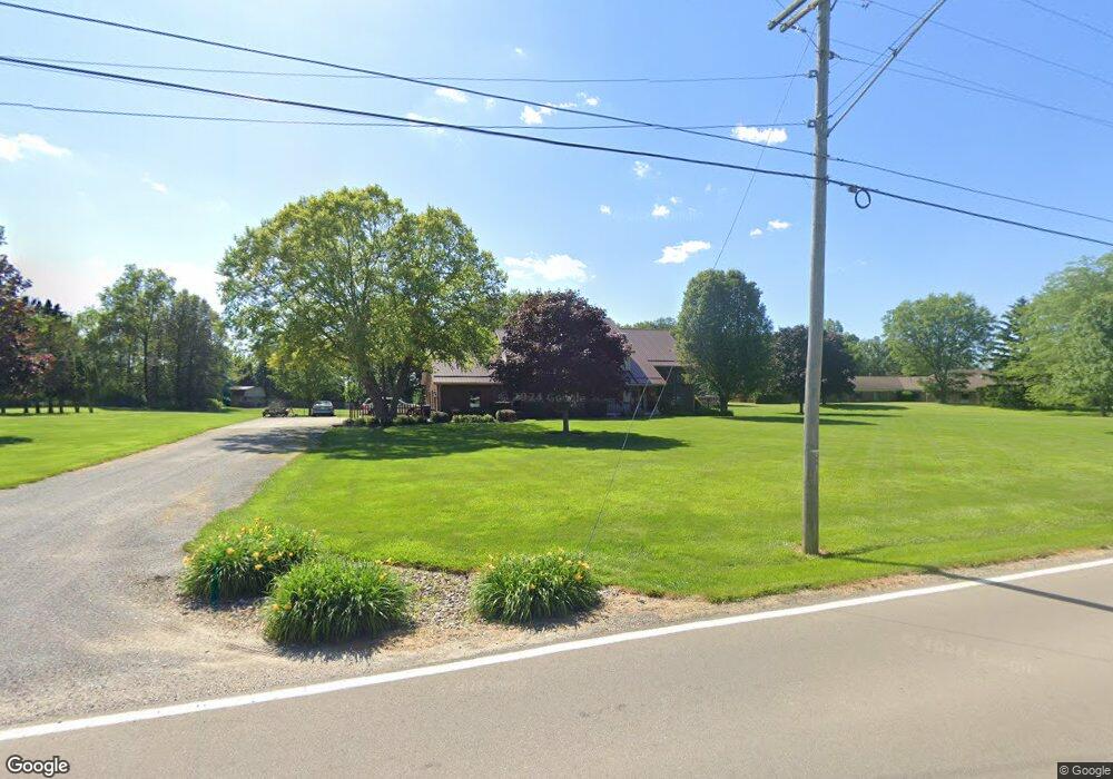
2025 Whetstone St Bucyrus, OH 44820
Estimated Value: $280,000 - $434,000
4
Beds
4
Baths
1,765
Sq Ft
$203/Sq Ft
Est. Value
About This Home
This home is located at 2025 Whetstone St, Bucyrus, OH 44820 and is currently estimated at $358,466, approximately $203 per square foot. 2025 Whetstone St is a home located in Crawford County with nearby schools including Bucyrus Elementary School, Bucyrus Secondary School, and CENTER FOR AUTISM / DYSLEXIA - BUCYRUS.
Ownership History
Date
Name
Owned For
Owner Type
Purchase Details
Closed on
Mar 31, 2018
Sold by
Cotsamire Michael R and Cotsamire Mary Beth
Bought by
Cotsamire Michael R and Cotsamire Mary Beth
Current Estimated Value
Home Financials for this Owner
Home Financials are based on the most recent Mortgage that was taken out on this home.
Original Mortgage
$197,395
Outstanding Balance
$169,992
Interest Rate
4.5%
Mortgage Type
FHA
Estimated Equity
$188,474
Purchase Details
Closed on
Jun 9, 2004
Bought by
Cotsamire Michael R and Mary Beth
Create a Home Valuation Report for This Property
The Home Valuation Report is an in-depth analysis detailing your home's value as well as a comparison with similar homes in the area
Home Values in the Area
Average Home Value in this Area
Purchase History
| Date | Buyer | Sale Price | Title Company |
|---|---|---|---|
| Cotsamire Michael R | -- | None Available | |
| Cotsmamire Michael R | -- | None Available | |
| Cotsamire Michael R | -- | -- |
Source: Public Records
Mortgage History
| Date | Status | Borrower | Loan Amount |
|---|---|---|---|
| Open | Cotsmamire Michael R | $197,395 |
Source: Public Records
Tax History Compared to Growth
Tax History
| Year | Tax Paid | Tax Assessment Tax Assessment Total Assessment is a certain percentage of the fair market value that is determined by local assessors to be the total taxable value of land and additions on the property. | Land | Improvement |
|---|---|---|---|---|
| 2024 | $5,350 | $121,710 | $8,330 | $113,380 |
| 2023 | $5,350 | $94,540 | $6,640 | $87,900 |
| 2022 | $4,918 | $94,540 | $6,640 | $87,900 |
| 2021 | $4,908 | $94,540 | $6,640 | $87,900 |
| 2020 | $4,739 | $86,550 | $6,640 | $79,910 |
| 2019 | $4,843 | $86,550 | $6,640 | $79,910 |
| 2018 | $4,821 | $86,550 | $6,640 | $79,910 |
| 2017 | $4,161 | $72,110 | $6,640 | $65,470 |
| 2016 | $4,031 | $72,110 | $6,640 | $65,470 |
| 2015 | $3,976 | $72,110 | $6,640 | $65,470 |
| 2014 | $3,955 | $72,110 | $6,640 | $65,470 |
| 2013 | $3,955 | $72,110 | $6,640 | $65,470 |
Source: Public Records
Map
Nearby Homes
- 1465 Oakridge Dr
- 1267 N Dundee Trail
- 111 Kincora Dr
- 1320 E Southern Ave
- 2208 State Route 19
- 948 S Highland Ave
- 318 Charlotte St
- 419 Short St
- 1211 S Sandusky Ave
- 1021 S Sandusky Ave
- 900 S Spring St
- 346 Hopley Ave
- 708 S Sandusky Ave
- 452 Pleasant Ln
- 583 Rogers St
- 550 S Walnut St
- 444 Woodlawn Ave
- 1220 E Warren St
- 924 E Warren St
- 1555 Rosedale Ave
- 2055 Whetstone St
- 2010 Whetstone St
- 1980 Whetstone St
- 2020 Whetstone St
- 2075 Whetstone St
- 3220 Harper Rd
- 1932 Whetstone St
- 3209 Harper Rd
- 1900 Whetstone St
- 1900 Whestone St
- 1849 Whetstone St
- 3250 Harper Rd
- 1828 Whetstone St
- 2171 Winchester West Rd
- 2171 Winchester Rd W
- 2169 Winchester West Rd
- 2169 Winchester West Rd
- 2169 Winchester West Rd
- 3235 Harper Rd
- 3235 Harper Rd