2025 Word Rd Lewisburg, TN 37091
Estimated Value: $268,000 - $761,000
--
Bed
1
Bath
2,109
Sq Ft
$259/Sq Ft
Est. Value
About This Home
This home is located at 2025 Word Rd, Lewisburg, TN 37091 and is currently estimated at $546,971, approximately $259 per square foot. 2025 Word Rd is a home located in Marshall County with nearby schools including Oak Grove Elementary School, Marshall Elementary School, and Westhills Elementary School.
Ownership History
Date
Name
Owned For
Owner Type
Purchase Details
Closed on
Feb 22, 2024
Sold by
Ar Venture Llc
Bought by
Ar Venture Llc
Current Estimated Value
Purchase Details
Closed on
Sep 19, 2014
Sold by
Worden George A
Bought by
Worden George A and Worden Evelyn D
Purchase Details
Closed on
Feb 8, 2013
Sold by
Worden George Allison
Bought by
Worden George Allison and Worden Evelyn D
Purchase Details
Closed on
Jan 20, 1989
Bought by
Worden George A and Worden Cherie
Purchase Details
Closed on
Apr 22, 1988
Bought by
Hargrove Marion and Hargrove Gertrud
Create a Home Valuation Report for This Property
The Home Valuation Report is an in-depth analysis detailing your home's value as well as a comparison with similar homes in the area
Home Values in the Area
Average Home Value in this Area
Purchase History
| Date | Buyer | Sale Price | Title Company |
|---|---|---|---|
| Ar Venture Llc | -- | None Listed On Document | |
| Worden George A | $5,100 | -- | |
| Worden George Allison | -- | -- | |
| Worden George A | $60,000 | -- | |
| Hargrove Marion | $27,500 | -- |
Source: Public Records
Tax History Compared to Growth
Tax History
| Year | Tax Paid | Tax Assessment Tax Assessment Total Assessment is a certain percentage of the fair market value that is determined by local assessors to be the total taxable value of land and additions on the property. | Land | Improvement |
|---|---|---|---|---|
| 2024 | $1,179 | $64,800 | $36,000 | $28,800 |
| 2023 | $1,179 | $64,800 | $36,000 | $28,800 |
| 2022 | $883 | $48,550 | $19,750 | $28,800 |
| 2021 | $897 | $31,900 | $13,600 | $18,300 |
| 2020 | $897 | $31,900 | $13,600 | $18,300 |
| 2019 | $897 | $31,900 | $13,600 | $18,300 |
| 2018 | $827 | $29,950 | $13,600 | $16,350 |
| 2017 | $827 | $29,950 | $13,600 | $16,350 |
| 2016 | $856 | $26,575 | $11,800 | $14,775 |
| 2015 | $856 | $26,575 | $11,800 | $14,775 |
| 2014 | $856 | $26,575 | $11,800 | $14,775 |
Source: Public Records
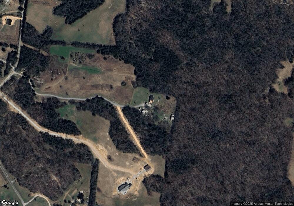
Map
Nearby Homes
- 1717 Savannah Pass
- 1714 Savannah Pass
- 1713 Savannah Pass
- 1715 Savannah Pass
- 1712 Savannah Pass
- 1716 Savannah Pass
- 0 Franklin Pike Unit RTC2943645
- 1334 Grassy Plains Pass
- 1344 Grassy Plains Pass
- EDMON Plan at Savannah Lakes
- BELFORT Plan at Savannah Lakes
- CALI Plan at Savannah Lakes
- ARIA Plan at Savannah Lakes
- 2159 Verona Caney Rd
- 1540 S Berlin Rd
- 1800 Mcbride Rd
- 1413 Prescott Ln
- 2512 Verona Caney Rd
- 1465 New Columbia Hwy
- 0 Wallace Thompson Rd
- 0 Sugar Maple Dr Unit 1760751
- 1061 Double Bridge Rd
- 1917 Sugar Maple Dr
- 1041 Double Bridge Rd
- 1921 Sugar Maple Dr
- 1080 Double Bridge Rd
- 1915 Sugar Maple Dr
- 1914 Sugar Maple Dr
- 1149 Double Bridge Rd
- 0 Word Rd
- 1913 Sugar Maple Dr
- 1912 Sugar Maple Dr
- 2030 Jett Rd
- 1911 Sugar Maple Dr
- 1910 Sugar Maple Dr
- 1032 Double Bridge Rd
- 2020 Word Rd
- 1136 Double Bridge Rd
- 1026 Double Bridge Rd
- 1909 Sugar Maple Dr