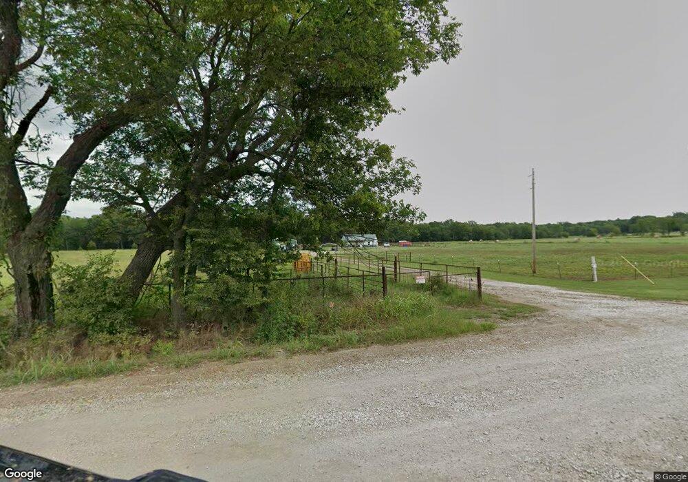
20251 Ew 20 Rd Nowata, OK 74048
Estimated Value: $238,712 - $311,000
3
Beds
2
Baths
1,200
Sq Ft
$233/Sq Ft
Est. Value
About This Home
This home is located at 20251 Ew 20 Rd, Nowata, OK 74048 and is currently estimated at $280,178, approximately $233 per square foot. 20251 Ew 20 Rd is a home with nearby schools including Nowata Elementary School, Nowata Middle School, and Nowata High School.
Ownership History
Date
Name
Owned For
Owner Type
Purchase Details
Closed on
Jan 12, 2023
Sold by
Mcgovern Charee Joann
Bought by
Mcgovern Charee Joann and Mcgovern Ty L
Current Estimated Value
Home Financials for this Owner
Home Financials are based on the most recent Mortgage that was taken out on this home.
Original Mortgage
$50,000
Interest Rate
6.33%
Mortgage Type
New Conventional
Purchase Details
Closed on
Nov 26, 2011
Sold by
Mcgovern Derek Joseph and Mcgovern Charee Joann
Bought by
Mcgovern Charee Joann and Mcgovern Derek Joseph
Create a Home Valuation Report for This Property
The Home Valuation Report is an in-depth analysis detailing your home's value as well as a comparison with similar homes in the area
Home Values in the Area
Average Home Value in this Area
Purchase History
| Date | Buyer | Sale Price | Title Company |
|---|---|---|---|
| Mcgovern Charee Joann | -- | None Listed On Document | |
| Mcgovern Charee Joann | -- | None Listed On Document | |
| Mcgovern Charee Joann | -- | None Avaliable |
Source: Public Records
Mortgage History
| Date | Status | Borrower | Loan Amount |
|---|---|---|---|
| Closed | Mcgovern Charee Joann | $50,000 | |
| Open | Mcgovern Charee Joann | $122,000 | |
| Closed | Mcgovern Charee Joann | $122,000 |
Source: Public Records
Tax History Compared to Growth
Tax History
| Year | Tax Paid | Tax Assessment Tax Assessment Total Assessment is a certain percentage of the fair market value that is determined by local assessors to be the total taxable value of land and additions on the property. | Land | Improvement |
|---|---|---|---|---|
| 2024 | $2,045 | $21,721 | $1,123 | $20,598 |
| 2023 | $2,045 | $3,857 | $854 | $3,003 |
| 2022 | $270 | $3,857 | $854 | $3,003 |
| 2021 | $623 | $7,566 | $854 | $6,712 |
| 2020 | $613 | $7,345 | $1,304 | $6,041 |
| 2019 | $605 | $7,202 | $1,228 | $5,974 |
| 2018 | $575 | $6,992 | $1,162 | $5,830 |
| 2017 | $559 | $6,788 | $64 | $6,724 |
| 2016 | $323 | $4,331 | $62 | $4,269 |
| 2015 | $318 | $4,205 | $468 | $3,737 |
| 2014 | $314 | $4,205 | $468 | $3,737 |
Source: Public Records
Map
Nearby Homes
- 1127 S Pecan St
- 909 S Pine St
- 611 S Ash St
- 845 S Pine St
- 818 S Pine St
- 622 S Maple St
- 708 S Pecan St
- 1140 S Pecan St
- 0 S Pecan St
- 446 S Elm St
- 712 S Cedar St
- 544 S Pine St
- 216 S Locust St
- 22329 Ns 415 Rd
- 321 S Elm St
- 204 E Osage Ave
- 236 S Sycamore St
- 218 W Seneca Ave
- 12583 Highway 60
- 123 N Locust St
- 19343 Ew 20 Rd
- 19282 Ew 198
- 22609 Ew 20 Rd
- 14437 Ew 19 Rd
- 12695 Ew 19 Rd
- 10427 Ew 19 Rd
- 9595 Ew 19 Rd
- 18590 Ns 409 Rd
- 8751 Ew 19 Rd
- 17034 Ns 407 Rd
- 21498 Ns 404 Rd
- 21292 Ns 404 Rd
- 21760 Ns 404 Rd
- 19082 Ew 198
- 19505 Ew 20 Rd
- 21496 Ns 404 Rd
- 21968 Ns 404 Rd
- 21016 Ew 20 Rd
- 18500 Ns 408 Rd
- 14403 Ew 24 Rd