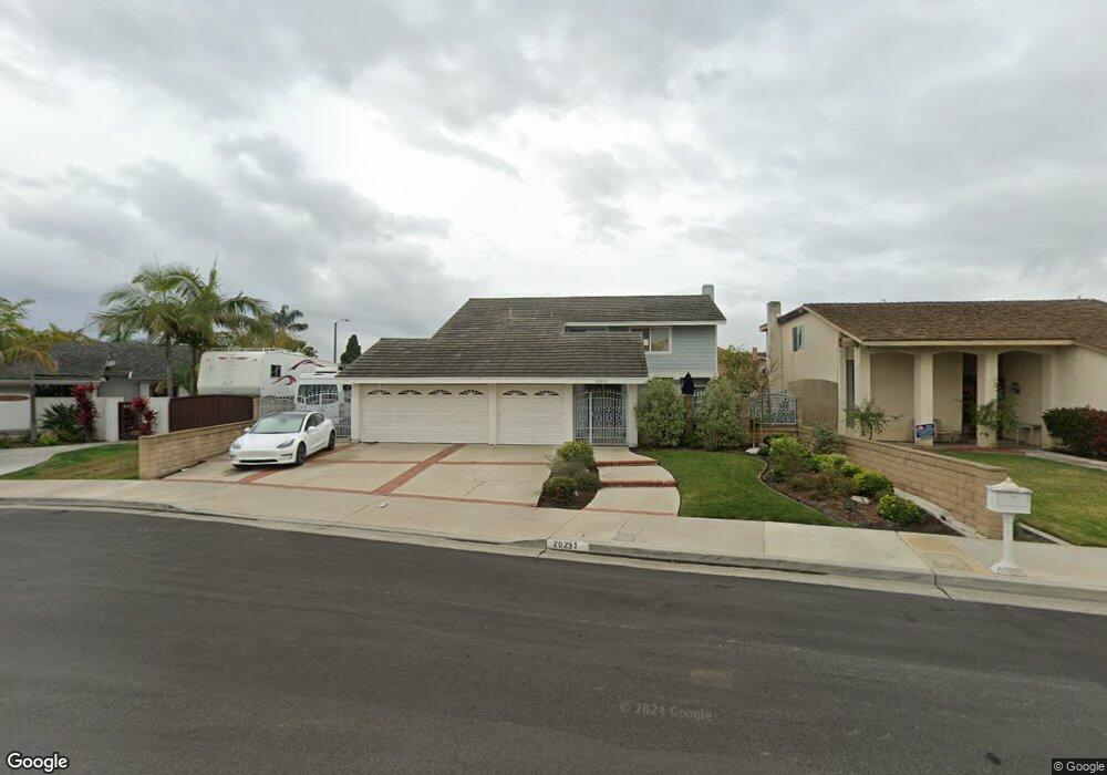
20251 Norcroft Ln Huntington Beach, CA 92646
Southeast NeighborhoodEstimated Value: $1,539,962 - $1,661,000
4
Beds
3
Baths
1,698
Sq Ft
$936/Sq Ft
Est. Value
About This Home
This home is located at 20251 Norcroft Ln, Huntington Beach, CA 92646 and is currently estimated at $1,589,241, approximately $935 per square foot. 20251 Norcroft Ln is a home located in Orange County with nearby schools including S.A. Moffett Elementary School, Isaac L. Sowers Middle School, and Edison High School.
Ownership History
Date
Name
Owned For
Owner Type
Purchase Details
Closed on
Aug 5, 2014
Sold by
Overduin Cornelis L W
Bought by
Overduin Cornelis L W and Cornelis L W Overduin Revocable Living T
Current Estimated Value
Purchase Details
Closed on
Jul 15, 1999
Sold by
Security Trust Company
Bought by
Overduin Cornelis Leendert Willem and Overduin Laura
Create a Home Valuation Report for This Property
The Home Valuation Report is an in-depth analysis detailing your home's value as well as a comparison with similar homes in the area
Home Values in the Area
Average Home Value in this Area
Purchase History
| Date | Buyer | Sale Price | Title Company |
|---|---|---|---|
| Overduin Cornelis L W | -- | None Available | |
| Overduin Cornelis Leendert Willem | -- | Chicago Title Co |
Source: Public Records
Tax History Compared to Growth
Tax History
| Year | Tax Paid | Tax Assessment Tax Assessment Total Assessment is a certain percentage of the fair market value that is determined by local assessors to be the total taxable value of land and additions on the property. | Land | Improvement |
|---|---|---|---|---|
| 2025 | $1,721 | $130,126 | $52,880 | $77,246 |
| 2024 | $1,721 | $127,575 | $51,843 | $75,732 |
| 2023 | $1,678 | $125,074 | $50,826 | $74,248 |
| 2022 | $1,631 | $122,622 | $49,829 | $72,793 |
| 2021 | $1,601 | $120,218 | $48,852 | $71,366 |
| 2020 | $1,589 | $118,986 | $48,351 | $70,635 |
| 2019 | $1,572 | $116,653 | $47,403 | $69,250 |
| 2018 | $1,547 | $114,366 | $46,473 | $67,893 |
| 2017 | $1,525 | $112,124 | $45,562 | $66,562 |
| 2016 | $1,466 | $109,926 | $44,669 | $65,257 |
| 2015 | $1,449 | $108,275 | $43,998 | $64,277 |
| 2014 | $1,417 | $106,155 | $43,137 | $63,018 |
Source: Public Records
Map
Nearby Homes
- 20251 Lighthouse Ln
- 8472 Norfolk Dr
- 20191 Imperial Cove Ln
- 20162 S New Britain Ln
- 20131 Crown Reef Ln
- 20302 Tidepool Cir Unit 204
- 8182 Mainsail Dr Unit 203
- 20012 Treasure Cir
- 8565 Colusa Cir Unit 906C
- 8565 Trinity Cir
- 20401 Somerville Ln
- 20371 Bluffside Cir Unit B214
- 20251 Cape Coral Ln Unit 315
- 20301 Bluffside Cir Unit D401
- 20301 Bluffside Cir Unit D312
- 20331 Bluffside Cir Unit 411
- 20331 Bluffside Cir Unit A108
- 20331 Bluffside Cir Unit 303
- 20331 Bluffside Cir Unit 222
- 20331 Bluffside Cir Unit A320
- 20241 Norcroft Ln
- 20261 Norcroft Ln
- 20231 Norcroft Ln
- 8531 Larthorn Dr
- 8522 Larthorn Dr
- 20262 Lighthouse Ln
- 20252 Lighthouse Ln
- 20221 Norcroft Ln
- 8532 Larthorn Dr
- 8532 Masters Dr
- 8541 Larthorn Dr
- 8472 Cape Newbury Dr
- 8542 Larthorn Dr
- 20242 Lighthouse Ln
- 20311 Allport Ln
- 20282 Lighthouse Ln
- 20211 Norcroft Ln
- 8542 Masters Dr
- 8531 Marvale Dr
- 8561 Larthorn Dr