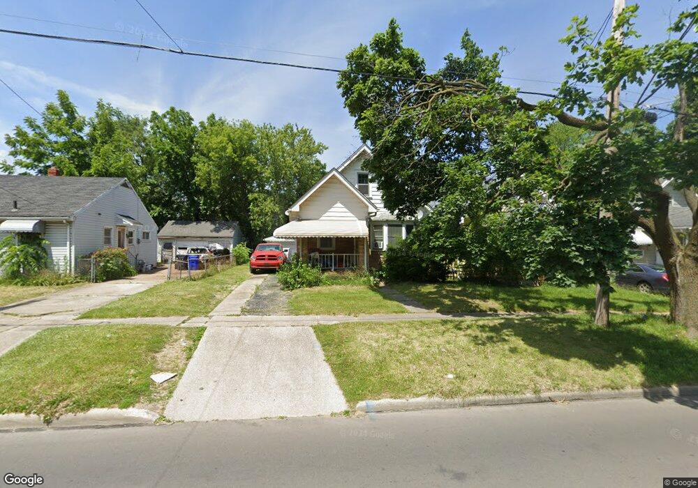
2026 Berdan Ave Toledo, OH 43613
DeVeaux NeighborhoodEstimated Value: $78,000 - $92,450
2
Beds
1
Bath
813
Sq Ft
$107/Sq Ft
Est. Value
About This Home
This home is located at 2026 Berdan Ave, Toledo, OH 43613 and is currently estimated at $86,863, approximately $106 per square foot. 2026 Berdan Ave is a home located in Lucas County with nearby schools including DeVeaux Elementary School, Start High School, and Horizon Science Academy - Toledo High School.
Ownership History
Date
Name
Owned For
Owner Type
Purchase Details
Closed on
Apr 11, 2001
Sold by
Joan Kazmierski and Kazmierski Joanne
Bought by
Duncan Dennis J
Current Estimated Value
Home Financials for this Owner
Home Financials are based on the most recent Mortgage that was taken out on this home.
Original Mortgage
$61,500
Outstanding Balance
$22,722
Interest Rate
7.05%
Mortgage Type
FHA
Estimated Equity
$64,141
Create a Home Valuation Report for This Property
The Home Valuation Report is an in-depth analysis detailing your home's value as well as a comparison with similar homes in the area
Home Values in the Area
Average Home Value in this Area
Purchase History
| Date | Buyer | Sale Price | Title Company |
|---|---|---|---|
| Duncan Dennis J | $62,000 | -- |
Source: Public Records
Mortgage History
| Date | Status | Borrower | Loan Amount |
|---|---|---|---|
| Open | Duncan Dennis J | $61,500 |
Source: Public Records
Tax History Compared to Growth
Tax History
| Year | Tax Paid | Tax Assessment Tax Assessment Total Assessment is a certain percentage of the fair market value that is determined by local assessors to be the total taxable value of land and additions on the property. | Land | Improvement |
|---|---|---|---|---|
| 2024 | $705 | $22,575 | $7,315 | $15,260 |
| 2023 | $1,270 | $19,390 | $4,725 | $14,665 |
| 2022 | $1,274 | $19,390 | $4,725 | $14,665 |
| 2021 | $1,304 | $19,390 | $4,725 | $14,665 |
| 2020 | $1,424 | $18,830 | $4,585 | $14,245 |
| 2019 | $1,383 | $18,830 | $4,585 | $14,245 |
| 2018 | $1,401 | $18,830 | $4,585 | $14,245 |
| 2017 | $1,423 | $18,410 | $4,480 | $13,930 |
| 2016 | $1,424 | $52,600 | $12,800 | $39,800 |
| 2015 | $1,412 | $52,600 | $12,800 | $39,800 |
| 2014 | $1,158 | $18,410 | $4,480 | $13,930 |
| 2013 | $1,158 | $18,410 | $4,480 | $13,930 |
Source: Public Records
Map
Nearby Homes
- 2035 Barrows St
- 2050 Berdan Ave
- 2012 Berdan Ave
- 2026 Berkshire Place
- 1959 Brussels St
- 2041 Brame Place
- 1939 Balkan Place
- 3715 Shelbourne Ave
- 1921 Brussels St
- 2002 Brame Place
- 1935 Talbot St
- 3718 Sherbrooke Rd
- 2220 Beaufort Ave
- 1846 Balkan Place
- 1834 Berdan Ave
- 1840 Talbot St
- 1820 Barrows St
- 1818 Barrows St
- 1815 Berdan Ave
- 1814 Balkan Place
- 2022 Berdan Ave
- 2030 Berdan Ave
- 2020 Berdan Ave
- 2034 Berdan Ave
- 2027 Barrows St
- 2029 Barrows St
- 2025 Barrows St
- 2038 Berdan Ave
- 2033 Barrows St
- 2021 Barrows St
- 2017 Barrows St
- 2040 Berdan Ave
- 2015 Barrows St
- 2027 Berdan Ave
- 2041 Barrows St
- 2023 Berdan Ave
- 2042 Berdan Ave
- 2033 Berdan Ave
- 2021 Berdan Ave
- 2008 Berdan Ave