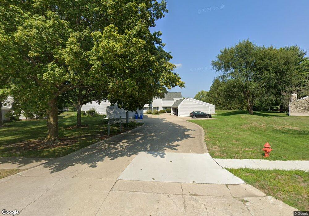
2026 Blackthorn Dr Unit 9 Champaign, IL 61821
West Haven NeighborhoodEstimated Value: $164,000 - $189,000
--
Bed
2
Baths
680
Sq Ft
$261/Sq Ft
Est. Value
About This Home
This home is located at 2026 Blackthorn Dr Unit 9, Champaign, IL 61821 and is currently estimated at $177,325, approximately $260 per square foot. 2026 Blackthorn Dr Unit 9 is a home located in Champaign County with nearby schools including Centennial High School, Next Generation School, and St. Matthew School.
Ownership History
Date
Name
Owned For
Owner Type
Purchase Details
Closed on
Oct 6, 2009
Sold by
Rochford Pamela and Rochford Lisa Mary
Bought by
Meyers Whitney M
Current Estimated Value
Home Financials for this Owner
Home Financials are based on the most recent Mortgage that was taken out on this home.
Original Mortgage
$58,000
Outstanding Balance
$38,085
Interest Rate
5.19%
Mortgage Type
New Conventional
Estimated Equity
$139,240
Purchase Details
Closed on
Dec 11, 2006
Sold by
Haile Mary Elizabeth
Bought by
Rochford Pamela
Create a Home Valuation Report for This Property
The Home Valuation Report is an in-depth analysis detailing your home's value as well as a comparison with similar homes in the area
Home Values in the Area
Average Home Value in this Area
Purchase History
| Date | Buyer | Sale Price | Title Company |
|---|---|---|---|
| Meyers Whitney M | $93,000 | Atgf Inc | |
| Rochford Pamela | $110,000 | None Available |
Source: Public Records
Mortgage History
| Date | Status | Borrower | Loan Amount |
|---|---|---|---|
| Open | Meyers Whitney M | $58,000 |
Source: Public Records
Tax History Compared to Growth
Tax History
| Year | Tax Paid | Tax Assessment Tax Assessment Total Assessment is a certain percentage of the fair market value that is determined by local assessors to be the total taxable value of land and additions on the property. | Land | Improvement |
|---|---|---|---|---|
| 2024 | $3,091 | $44,230 | $8,130 | $36,100 |
| 2023 | $3,091 | $40,280 | $7,400 | $32,880 |
| 2022 | $2,865 | $37,160 | $6,830 | $30,330 |
| 2021 | $2,787 | $36,440 | $6,700 | $29,740 |
| 2020 | $2,663 | $35,040 | $6,440 | $28,600 |
| 2019 | $2,566 | $34,320 | $6,310 | $28,010 |
| 2018 | $2,500 | $33,780 | $6,210 | $27,570 |
| 2017 | $2,510 | $33,780 | $6,210 | $27,570 |
| 2016 | $2,240 | $33,080 | $6,080 | $27,000 |
| 2015 | $2,248 | $32,490 | $5,970 | $26,520 |
| 2014 | $2,228 | $32,490 | $5,970 | $26,520 |
| 2013 | $2,208 | $32,490 | $5,970 | $26,520 |
Source: Public Records
Map
Nearby Homes
- 1928 Blackthorn Dr Unit 1
- 2113 Sunview Dr
- 1908 Barberry Cir
- 2001 S Mattis Ave Unit E
- 1901 Branch Rd
- 2302 Blackthorn Dr
- 2306 Winchester Dr
- 2144 Harbortown Cir Unit 2144
- 1901 Lakeside Dr Unit B
- 2313 Glenoak Dr
- 1801 Crescent Dr
- 2002 O Donnell Dr
- 2505 Windward Blvd Unit 2505
- 2404 Windward Blvd Unit 202
- 1318 Broadmoor Dr
- 2801 Valleybrook Dr
- 2003 W Kirby Ave
- 2521 Windward Blvd Unit 2521
- 2205 Edgewater Place
- 2203 W Kirby Ave
- 2024 Blackthorn Dr Unit 10
- 2028 Blackthorn Dr
- 2022 Blackthorn Dr
- 2030 Blackthorn Dr
- 2030 Blackthorn Dr Unit 7
- 2030 Blackthorn Dr Unit 2030
- 2020 Blackthorn Dr Unit 12
- 2040 Blackthorn Dr
- 2042 Blackthorn Dr Unit 5
- 2044 Blackthorn Dr Unit 4
- 2046 Blackthorn Dr
- 2048 Blackthorn Dr Unit 2
- 2012 Blackthorn Dr
- 2050 Blackthorn Dr Unit 1
- 2008 Blackthorn Dr
- 2008 Blackthorn Dr Unit 16
- 2006 Blackthorn Dr
- 2004 Blackthorn Dr Unit 18
- 2011 Barberry Cir
- 2002 Blackthorn Dr