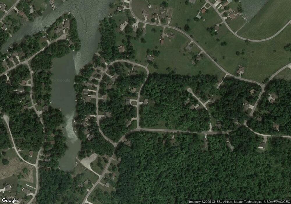
2026 Coriander Dr West Salem, OH 44287
Estimated Value: $201,455 - $263,000
3
Beds
2
Baths
1,190
Sq Ft
$198/Sq Ft
Est. Value
About This Home
This home is located at 2026 Coriander Dr, West Salem, OH 44287 and is currently estimated at $235,114, approximately $197 per square foot. 2026 Coriander Dr is a home located in Ashland County with nearby schools including Black River Education Center Elementary School, Black River Education Center Middle School, and Black River High School.
Ownership History
Date
Name
Owned For
Owner Type
Purchase Details
Closed on
Jul 21, 2017
Sold by
Taylor Lisa A
Bought by
Arndt James C
Current Estimated Value
Purchase Details
Closed on
Jul 6, 2005
Sold by
Taylor Lisa Annette
Bought by
Arndt James C
Purchase Details
Closed on
May 1, 1998
Sold by
Turk Brian
Bought by
Taylor Lisa Annette
Purchase Details
Closed on
Aug 15, 1995
Sold by
Hearn Michael J
Bought by
Turk Brian
Purchase Details
Closed on
Apr 29, 1991
Bought by
Hearn Michael J
Create a Home Valuation Report for This Property
The Home Valuation Report is an in-depth analysis detailing your home's value as well as a comparison with similar homes in the area
Home Values in the Area
Average Home Value in this Area
Purchase History
| Date | Buyer | Sale Price | Title Company |
|---|---|---|---|
| Arndt James C | -- | -- | |
| Arndt James C | $92,700 | -- | |
| Taylor Lisa Annette | $85,000 | -- | |
| Turk Brian | $2,500 | -- | |
| Hearn Michael J | $1,000 | -- |
Source: Public Records
Tax History Compared to Growth
Tax History
| Year | Tax Paid | Tax Assessment Tax Assessment Total Assessment is a certain percentage of the fair market value that is determined by local assessors to be the total taxable value of land and additions on the property. | Land | Improvement |
|---|---|---|---|---|
| 2024 | $1,755 | $52,500 | $5,880 | $46,620 |
| 2023 | $1,755 | $52,500 | $5,880 | $46,620 |
| 2022 | $1,380 | $37,500 | $4,200 | $33,300 |
| 2021 | $1,412 | $37,500 | $4,200 | $33,300 |
| 2020 | $1,387 | $37,500 | $4,200 | $33,300 |
| 2019 | $1,156 | $31,260 | $4,390 | $26,870 |
| 2018 | $1,167 | $31,260 | $4,390 | $26,870 |
| 2017 | $1,037 | $31,260 | $4,390 | $26,870 |
| 2016 | $1,037 | $27,670 | $3,890 | $23,780 |
| 2015 | $1,031 | $27,670 | $3,890 | $23,780 |
| 2013 | $1,141 | $29,610 | $3,870 | $25,740 |
Source: Public Records
Map
Nearby Homes
- 1085 Olive Place
- 1190 Ginko Dr
- S/L Ginko Ct Unit 1212 & 1213
- 1405 Laurel Dr
- 1284 Laurel Dr
- 1290 Laurel Dr
- 1283 Laurel Dr
- 2199 Brassica Ln
- 0 Maderia Dr
- 1175 Trillium Ct
- 1416 Minosa Ln
- 1129 Cinnamon Dr S
- 1151 Laurel Dr
- 1246 Laurel Dr
- 5102 Sangria Dr
- 1020 Cinnamon Dr
- 0 Laurel Dr
- 4092 Teak Place
- 5120 Sangria Dr
- 5061 Sangria Dr
- 0 Coriander Lot 4
- 2022 Coriander Dr
- 2028 Coriander Dr
- 2033 Coriander Dr
- 2018 Coriander Dr
- 2035 Coriander Dr
- 2023 Coriander Dr
- 2030 Coriander Dr
- 2038 Coriander Dr
- 2037 Coriander Dr
- 2054 Cayenne Place
- 2043 Coriander Dr
- 2046 Coriander Dr
- 2040 Coriander Dr
- 2042 Coriander Dr
- 2288 Cinnamon Dr E
- 2053 Cayenne Place
- 2293 Cinnamon Dr E
- 2020 Coriander Dr
- 2287 Cinnamon Dr E
