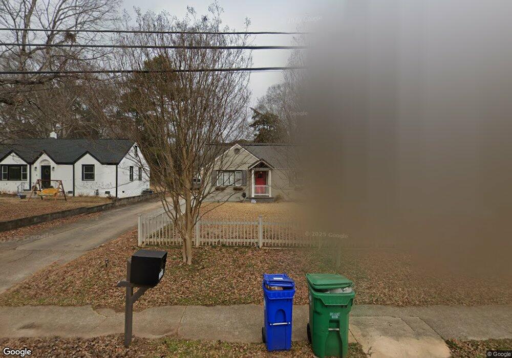
2026 Mcafee Rd Unit 25 Decatur, GA 30032
East Lake NeighborhoodEstimated Value: $383,000 - $498,000
4
Beds
2
Baths
1,700
Sq Ft
$258/Sq Ft
Est. Value
About This Home
This home is located at 2026 Mcafee Rd Unit 25, Decatur, GA 30032 and is currently estimated at $438,020, approximately $257 per square foot. 2026 Mcafee Rd Unit 25 is a home located in DeKalb County with nearby schools including McNair Middle School, McNair High School, and Charles Drew Charter School.
Ownership History
Date
Name
Owned For
Owner Type
Purchase Details
Closed on
Jul 9, 2020
Sold by
Foerch Andrea
Bought by
Foerch Andria Renee and Subel Walter Richard
Current Estimated Value
Purchase Details
Closed on
Aug 28, 2015
Sold by
Red Door Properties Ga Llc
Bought by
Foerch Andrea
Home Financials for this Owner
Home Financials are based on the most recent Mortgage that was taken out on this home.
Original Mortgage
$194,806
Interest Rate
4.4%
Mortgage Type
FHA
Purchase Details
Closed on
Jul 30, 2014
Sold by
Stc Ventures Llc
Bought by
Red Door Properties Ga Llc
Purchase Details
Closed on
Sep 13, 2013
Sold by
Herrera Ann J
Bought by
Stc Ventures Llc
Create a Home Valuation Report for This Property
The Home Valuation Report is an in-depth analysis detailing your home's value as well as a comparison with similar homes in the area
Home Values in the Area
Average Home Value in this Area
Purchase History
| Date | Buyer | Sale Price | Title Company |
|---|---|---|---|
| Foerch Andria Renee | -- | -- | |
| Foerch Andrea | $198,400 | -- | |
| Red Door Properties Ga Llc | $42,000 | -- | |
| Stc Ventures Llc | $35,000 | -- |
Source: Public Records
Mortgage History
| Date | Status | Borrower | Loan Amount |
|---|---|---|---|
| Previous Owner | Foerch Andrea | $194,806 |
Source: Public Records
Tax History Compared to Growth
Tax History
| Year | Tax Paid | Tax Assessment Tax Assessment Total Assessment is a certain percentage of the fair market value that is determined by local assessors to be the total taxable value of land and additions on the property. | Land | Improvement |
|---|---|---|---|---|
| 2025 | $7,577 | $163,240 | $38,480 | $124,760 |
| 2024 | $7,924 | $171,080 | $38,480 | $132,600 |
| 2023 | $7,924 | $154,560 | $38,480 | $116,080 |
| 2022 | $6,631 | $143,360 | $31,320 | $112,040 |
| 2021 | $5,569 | $119,160 | $30,400 | $88,760 |
| 2020 | $5,743 | $123,120 | $30,400 | $92,720 |
| 2019 | $5,425 | $115,880 | $6,000 | $109,880 |
| 2018 | $3,175 | $111,960 | $6,000 | $105,960 |
| 2017 | $4,822 | $101,680 | $6,000 | $95,680 |
| 2016 | $3,846 | $79,352 | $5,792 | $73,560 |
| 2014 | $971 | $13,964 | $2,804 | $11,160 |
Source: Public Records
Map
Nearby Homes
- 2013 Marco Dr
- 2049 Mcafee Rd
- 2009 Delphine Dr
- 2032 Juanita St
- 1967 Cogar Dr
- 2053 Juanita St
- 1926 Second Ave
- 1942 E Starmount Way
- 1893 Burning Tree Dr
- 1977 Camellia Dr
- 2164 Rockhaven Cir
- 101 Dancing Fox Rd Unit 101
- 2030 Mark Trail
- 701 Daniel Ave
- 2203 Hillcrest Ave
- 2001 Swazey Dr
- 2148 Lilac Ln
- 436 Carter Ave SE
- 2128 Mark Trail
- 2152 Lilac Ln
- 2026 Mcafee Rd
- 2020 Mcafee Rd
- 2032 Mcafee Rd
- 2016 Mcafee Rd
- 2036 Mcafee Rd
- 2010 Mcafee Rd
- 2042 Mcafee Rd
- 2029 Marco Dr
- 2023 Marco Dr
- 2035 Marco Dr
- 2019 Marco Dr
- 2006 Mcafee Rd
- 2039 Marco Dr
- 2025 Mcafee Rd
- 2045 Marco Dr
- 2009 Marco Dr
- 2017 Mcafee Rd
- 2002 Mcafee Rd
- 2041 Mcafee Rd
- 2041 Mcafee Rd Unit 13