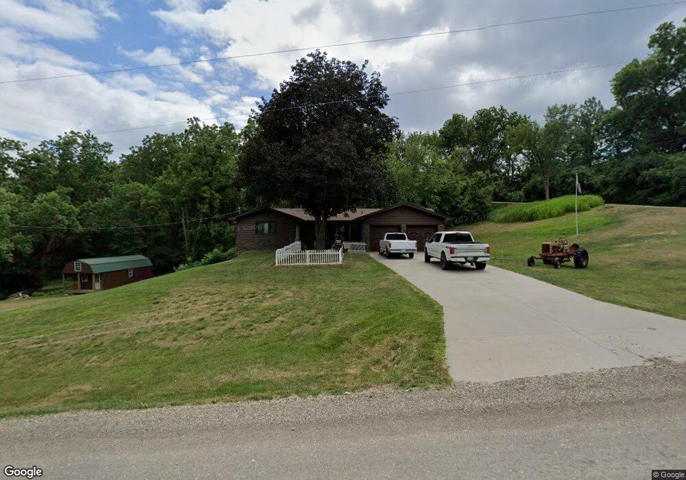
20265 Honeysuckle Rd Council Bluffs, IA 51503
Estimated Value: $369,000 - $460,000
3
Beds
3
Baths
1,546
Sq Ft
$272/Sq Ft
Est. Value
About This Home
This home is located at 20265 Honeysuckle Rd, Council Bluffs, IA 51503 and is currently estimated at $419,750, approximately $271 per square foot. 20265 Honeysuckle Rd is a home located in Pottawattamie County with nearby schools including Underwood Elementary School, Underwood Middle School, and Underwood High School.
Ownership History
Date
Name
Owned For
Owner Type
Purchase Details
Closed on
Mar 7, 2018
Sold by
Schroder Kenneth M
Bought by
Schroder Kenneth M and Kenneth M Schroder Revocable Trust
Current Estimated Value
Purchase Details
Closed on
Feb 21, 2018
Sold by
Schroder Kenneth M
Bought by
Schroder Kenneth M and Schroder Revocable T Kenneth M
Purchase Details
Closed on
Jan 26, 2009
Sold by
Auch Sherri A and Us Bank Omaha Nebraska
Bought by
Auch Sherri A
Create a Home Valuation Report for This Property
The Home Valuation Report is an in-depth analysis detailing your home's value as well as a comparison with similar homes in the area
Home Values in the Area
Average Home Value in this Area
Purchase History
| Date | Buyer | Sale Price | Title Company |
|---|---|---|---|
| Schroder Kenneth M | -- | None Available | |
| Schroder Kenneth M | -- | None Available | |
| Auch Sherri A | -- | None Available |
Source: Public Records
Tax History Compared to Growth
Tax History
| Year | Tax Paid | Tax Assessment Tax Assessment Total Assessment is a certain percentage of the fair market value that is determined by local assessors to be the total taxable value of land and additions on the property. | Land | Improvement |
|---|---|---|---|---|
| 2025 | $4,338 | $396,000 | $73,300 | $322,700 |
| 2024 | $4,338 | $340,900 | $63,700 | $277,200 |
| 2023 | $4,162 | $340,900 | $63,700 | $277,200 |
| 2022 | $3,608 | $247,000 | $53,200 | $193,800 |
| 2021 | $5,508 | $247,000 | $53,200 | $193,800 |
| 2020 | $3,740 | $247,000 | $53,200 | $193,800 |
| 2019 | $3,572 | $247,000 | $53,200 | $193,800 |
| 2018 | $3,522 | $228,229 | $46,828 | $181,401 |
| 2017 | $3,636 | $228,229 | $46,828 | $181,401 |
| 2015 | $3,514 | $228,229 | $46,828 | $181,401 |
| 2014 | $3,498 | $228,229 | $46,828 | $181,401 |
Source: Public Records
Map
Nearby Homes
- 61.50ACRES Honeysuckle Rd
- 71.95ACRES Honeysuckle Rd
- 22395 205th St
- 18843 Evergreen Ln
- 605 Ridge Rd N
- 19404 Mudhollow Rd
- 944 Mckenzie Ave
- 22767 County Road L34
- 627 Spencer Ave
- 116 Spencer Ave
- 18267 Northline Dr
- 407 Spencer Ave
- 1.12 AC Railroad Ave & Hwy 6
- 638 Simms Ave
- 162 N Linden Ave
- 155 S Linden Ave
- 2231 N Broadway
- 415 Midland Dr
- 440 Simms Ave
- 212 Highland Dr
- 20323 Honeysuckle Rd
- 20943 Bouvier Ln
- 20159 Honeysuckle Rd
- 20950 Bouvier Ln
- 20901 Bouvier Ln
- 20906 Bouvier Ln
- 20396 Honeysuckle Rd
- 20889 Bouvier Ln
- 20401 Honeysuckle Rd
- 20898 Bouvier Ln
- 20182 Honeysuckle Rd
- 20893 Bouvier Ln
- 20885 Bouvier Ln
- 20822 Bouvier Ln
- 20425 Honeysuckle Rd
- 20825 Bouvier Ln
- 20184 Honeysuckle Rd
- 20810 Bouvier Ln
- 20424 Honeysuckle Rd
- 20859 Perry Rd