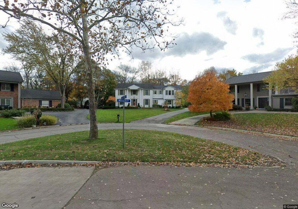
20265 Wellesley St Beverly Hills, MI 48025
Estimated Value: $812,934 - $1,011,000
5
Beds
5
Baths
3,499
Sq Ft
$255/Sq Ft
Est. Value
About This Home
This home is located at 20265 Wellesley St, Beverly Hills, MI 48025 and is currently estimated at $892,734, approximately $255 per square foot. 20265 Wellesley St is a home located in Oakland County with nearby schools including Wylie E. Groves High School, Beverly Elementary School, and Berkshire Middle School.
Ownership History
Date
Name
Owned For
Owner Type
Purchase Details
Closed on
Jul 12, 2019
Sold by
Bai Susan Louise Isard
Bought by
Bai Stephen Shangil
Current Estimated Value
Purchase Details
Closed on
Jun 27, 2005
Sold by
Edwards Michael G and Edwards Patricia A
Bought by
Bai Stephen S and Bai Susan L
Home Financials for this Owner
Home Financials are based on the most recent Mortgage that was taken out on this home.
Original Mortgage
$62,500
Interest Rate
5.75%
Mortgage Type
Stand Alone Second
Create a Home Valuation Report for This Property
The Home Valuation Report is an in-depth analysis detailing your home's value as well as a comparison with similar homes in the area
Home Values in the Area
Average Home Value in this Area
Purchase History
| Date | Buyer | Sale Price | Title Company |
|---|---|---|---|
| Bai Stephen Shangil | -- | None Available | |
| Bai Stephen S | -- | Devon Title Agency |
Source: Public Records
Mortgage History
| Date | Status | Borrower | Loan Amount |
|---|---|---|---|
| Closed | Bai Stephen S | $62,500 | |
| Open | Bai Stephen S | $500,000 |
Source: Public Records
Tax History Compared to Growth
Tax History
| Year | Tax Paid | Tax Assessment Tax Assessment Total Assessment is a certain percentage of the fair market value that is determined by local assessors to be the total taxable value of land and additions on the property. | Land | Improvement |
|---|---|---|---|---|
| 2024 | $7,862 | $385,550 | $0 | $0 |
| 2023 | $7,544 | $354,030 | $0 | $0 |
| 2022 | $8,182 | $332,510 | $0 | $0 |
| 2021 | $10,600 | $319,340 | $0 | $0 |
| 2020 | $7,984 | $325,150 | $0 | $0 |
| 2019 | $5,459 | $296,690 | $0 | $0 |
| 2018 | $7,827 | $265,510 | $0 | $0 |
| 2017 | $7,795 | $265,510 | $0 | $0 |
| 2016 | $7,825 | $254,260 | $0 | $0 |
| 2015 | -- | $236,740 | $0 | $0 |
| 2014 | -- | $221,590 | $0 | $0 |
| 2011 | -- | $167,940 | $0 | $0 |
Source: Public Records
Map
Nearby Homes
- 19905 Beverly Rd
- 19938 Waltham Rd
- 2330 Fairway Dr
- 31085 Tremont Ln
- 21850 Dover Ct Unit 7
- 19710 W 13 Mile Rd Unit 107
- 19710 W 13 Mile Rd Unit 111
- 19710 W 13 Mile Rd Unit 101
- 19710 W 13 Mile Rd Unit 105
- 19710 W 13 Mile Rd Unit 201
- 19710 W 13 Mile Rd Unit 108
- 19710 W 13 Mile Rd
- 786 S Cranbrook Rd
- 31035 Tremont Ln
- 1850 Orchard Ln
- 2721 Heathfield Rd
- 22025 Orchard Way
- 32326 Spruce Ln Unit 31
- 2802 Heathfield Rd
- 31112 Pickwick Ln
- 32411 Old Post Rd
- 20255 Wellesley St
- 20605 Breezewood Ct
- 20050 Quail Ridge Ct
- 32507 Old Post Rd
- 20231 Wellesley St
- 32502 Old Post Rd
- 20655 Breezewood Ct
- 20044 Quail Ridge Ct
- 20203 Wellesley St
- 32545 Old Post Rd
- 20226 Wellesley St
- 32540 Old Post Rd
- 20600 Breezewood Ct
- 20070 Village Dr
- 20060 Village Dr
- 20075 Wellesley St
- 20705 Breezewood Ct
- 32609 Old Post Rd
- 20166 Wellesley Ct