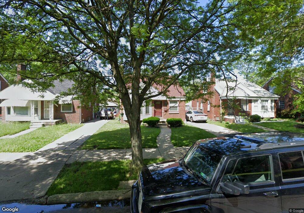
20267 Biltmore St Detroit, MI 48235
Greenfield NeighborhoodEstimated Value: $71,000 - $101,000
3
Beds
1
Bath
1,227
Sq Ft
$72/Sq Ft
Est. Value
About This Home
This home is located at 20267 Biltmore St, Detroit, MI 48235 and is currently estimated at $88,247, approximately $71 per square foot. 20267 Biltmore St is a home located in Wayne County with nearby schools including Bow Elementary-Middle School, Charles L. Spain Elementary-Middle School, and Edward 'Duke' Ellington Conservatory of Music and Art.
Ownership History
Date
Name
Owned For
Owner Type
Purchase Details
Closed on
Sep 25, 2019
Sold by
Brantley Anthony E and Reed Brantley Stephanie M
Bought by
Nelson Geanette
Current Estimated Value
Create a Home Valuation Report for This Property
The Home Valuation Report is an in-depth analysis detailing your home's value as well as a comparison with similar homes in the area
Home Values in the Area
Average Home Value in this Area
Purchase History
| Date | Buyer | Sale Price | Title Company |
|---|---|---|---|
| Nelson Geanette | $50,000 | Stewart Title Guaranty |
Source: Public Records
Tax History Compared to Growth
Tax History
| Year | Tax Paid | Tax Assessment Tax Assessment Total Assessment is a certain percentage of the fair market value that is determined by local assessors to be the total taxable value of land and additions on the property. | Land | Improvement |
|---|---|---|---|---|
| 2025 | $1,372 | $39,600 | $0 | $0 |
| 2024 | $1,372 | $35,600 | $0 | $0 |
| 2023 | $1,331 | $28,200 | $0 | $0 |
| 2022 | $1,461 | $22,800 | $0 | $0 |
| 2021 | $1,423 | $18,000 | $0 | $0 |
| 2020 | $1,407 | $16,600 | $0 | $0 |
| 2019 | $1,285 | $13,600 | $0 | $0 |
| 2018 | $1,128 | $12,200 | $0 | $0 |
| 2017 | $214 | $11,300 | $0 | $0 |
| 2016 | $1,566 | $17,500 | $0 | $0 |
| 2015 | $1,750 | $17,500 | $0 | $0 |
| 2013 | $1,907 | $24,570 | $0 | $0 |
| 2010 | -- | $35,203 | $964 | $34,239 |
Source: Public Records
Map
Nearby Homes
- 20300 Gilchrist St
- 20235 Ferguson St
- 20108 Biltmore St
- 20236 Ferguson St
- 20091 Biltmore St
- 20200 Lindsay St
- 20569 Biltmore St
- 20108 Ferguson St
- 20536 Ferguson St
- 20076 Ferguson St
- 20542 Oakfield St
- 20558 Oakfield St
- 20090 Asbury Park
- 19974 Biltmore St
- 20210 Archdale St
- 20051 Oakfield St
- 20245 Archdale St
- 19945 Biltmore St
- 20052 Archdale St
- 20510 Fenmore St
- 20259 Biltmore St
- 20275 Biltmore St
- 20251 Biltmore St
- 20283 Biltmore St
- 20243 Biltmore St
- 20291 Biltmore St
- 20266 Gilchrist St
- 20274 Gilchrist St
- 20260 Gilchrist St
- 20250 Gilchrist St
- 20284 Gilchrist St
- 20299 Biltmore St
- 20235 Biltmore St
- 20292 Gilchrist St
- 20244 Gilchrist St
- 20268 Biltmore St
- 20260 Biltmore St
- 20227 Biltmore St
- 20309 Biltmore St
- 20250 Biltmore St