20267 Little Valley Rd Unit 13-236 Groveland, CA 95321
Estimated Value: $279,000 - $362,000
2
Beds
2
Baths
1,708
Sq Ft
$188/Sq Ft
Est. Value
About This Home
This home is located at 20267 Little Valley Rd Unit 13-236, Groveland, CA 95321 and is currently estimated at $321,770, approximately $188 per square foot. 20267 Little Valley Rd Unit 13-236 is a home located in Tuolumne County.
Ownership History
Date
Name
Owned For
Owner Type
Purchase Details
Closed on
Mar 21, 2023
Sold by
Edwards Pam
Bought by
Wong James and Her Lyly
Current Estimated Value
Home Financials for this Owner
Home Financials are based on the most recent Mortgage that was taken out on this home.
Original Mortgage
$135,000
Outstanding Balance
$130,754
Interest Rate
6.12%
Mortgage Type
New Conventional
Estimated Equity
$191,016
Create a Home Valuation Report for This Property
The Home Valuation Report is an in-depth analysis detailing your home's value as well as a comparison with similar homes in the area
Home Values in the Area
Average Home Value in this Area
Purchase History
| Date | Buyer | Sale Price | Title Company |
|---|---|---|---|
| Wong James | $270,000 | Fidelity National Title Compan |
Source: Public Records
Mortgage History
| Date | Status | Borrower | Loan Amount |
|---|---|---|---|
| Open | Wong James | $135,000 |
Source: Public Records
Tax History Compared to Growth
Tax History
| Year | Tax Paid | Tax Assessment Tax Assessment Total Assessment is a certain percentage of the fair market value that is determined by local assessors to be the total taxable value of land and additions on the property. | Land | Improvement |
|---|---|---|---|---|
| 2025 | $3,110 | $280,908 | $62,424 | $218,484 |
| 2024 | $3,110 | $275,400 | $61,200 | $214,200 |
| 2023 | $2,207 | $200,569 | $36,193 | $164,376 |
| 2022 | $2,164 | $196,637 | $35,484 | $161,153 |
| 2021 | $2,133 | $192,783 | $34,789 | $157,994 |
| 2020 | $2,099 | $190,807 | $34,433 | $156,374 |
| 2019 | $2,036 | $187,066 | $33,758 | $153,308 |
| 2018 | $1,989 | $183,399 | $33,097 | $150,302 |
| 2017 | $1,943 | $179,804 | $32,449 | $147,355 |
| 2016 | $1,895 | $176,279 | $31,813 | $144,466 |
| 2015 | $1,870 | $173,632 | $31,336 | $142,296 |
| 2014 | $1,827 | $170,232 | $30,723 | $139,509 |
Source: Public Records
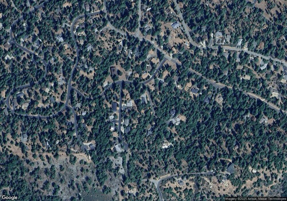
Map
Nearby Homes
- 20280 Little Valley Rd
- 12000 Trapper Ct
- 19935 Pine Mountain Dr
- 20197 Upper Skyridge Dr
- 12080 Breckenridge Rd
- 20018 Pine Mountain Dr
- 20128 Lower Skyridge Dr
- 12309 Shooting Star Ct
- 20055 Pine Mountain Dr
- 20029 Upper Skyridge Dr Unit 15
- 20158 Pine Mountain Dr
- 20162 Pine Mountain Dr
- 20603 Longridge Ct
- 19673 Jonny Degnan Ct
- 19824 Pine Mountain Dr
- 20267 Little Valley Rd
- 20249 Little Valley Rd Unit 235
- 20249 Little Valley Rd
- 11963 Mountain Springs Ct
- 11965 Mountain Springs Ct Unit 234
- 11965 Mountain Springs Ct
- 11961 Mountain Springs Ct
- 20279 Little Valley Rd Unit 237 A
- 20279 Little Valley Rd
- 11959 Mountain Springs Ct
- 20264 Little Valley Rd Unit 13/213
- 20264 Little Valley Rd Unit 213
- 20264 Little Valley Rd
- 20289 Little Valley Rd
- 11957 Mountain Springs Ct
- 11966 Mountain Springs Ct Unit 318
- 11966 Mountain Springs Ct
- 84 Little Valley Rd
- 13-84 Little Valley Rd Unit 84
- 11962 Mountain Springs Ct Unit 220