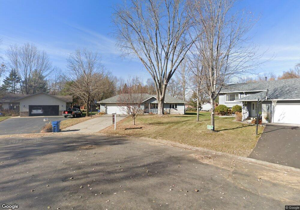
2027 Highview Dr Sauk Rapids, MN 56379
Estimated Value: $308,000 - $330,000
4
Beds
3
Baths
2,524
Sq Ft
$127/Sq Ft
Est. Value
About This Home
This home is located at 2027 Highview Dr, Sauk Rapids, MN 56379 and is currently estimated at $320,138, approximately $126 per square foot. 2027 Highview Dr is a home located in Benton County with nearby schools including Pleasant View Elementary School, Sauk Rapids-Rice Middle School, and Sauk Rapids-Rice Senior High School.
Ownership History
Date
Name
Owned For
Owner Type
Purchase Details
Closed on
Oct 28, 2022
Sold by
Weisbrich Michelle D and Weisbrich Stephen E
Bought by
Muellner Jason R and Muellner Jennifer E
Current Estimated Value
Home Financials for this Owner
Home Financials are based on the most recent Mortgage that was taken out on this home.
Original Mortgage
$216,000
Outstanding Balance
$208,990
Interest Rate
6.7%
Mortgage Type
New Conventional
Estimated Equity
$111,148
Purchase Details
Closed on
Dec 17, 2010
Sold by
Federal National Mortgage Association
Bought by
Weisbrich Stephen E and Weisbrich Michelle D
Home Financials for this Owner
Home Financials are based on the most recent Mortgage that was taken out on this home.
Original Mortgage
$136,501
Interest Rate
4.25%
Mortgage Type
FHA
Create a Home Valuation Report for This Property
The Home Valuation Report is an in-depth analysis detailing your home's value as well as a comparison with similar homes in the area
Home Values in the Area
Average Home Value in this Area
Purchase History
| Date | Buyer | Sale Price | Title Company |
|---|---|---|---|
| Muellner Jason R | $270,000 | All American Title | |
| Weisbrich Stephen E | -- | -- |
Source: Public Records
Mortgage History
| Date | Status | Borrower | Loan Amount |
|---|---|---|---|
| Open | Muellner Jason R | $216,000 | |
| Previous Owner | Weisbrich Stephen E | $136,501 |
Source: Public Records
Tax History Compared to Growth
Tax History
| Year | Tax Paid | Tax Assessment Tax Assessment Total Assessment is a certain percentage of the fair market value that is determined by local assessors to be the total taxable value of land and additions on the property. | Land | Improvement |
|---|---|---|---|---|
| 2025 | $3,422 | $298,700 | $34,900 | $263,800 |
| 2024 | $3,360 | $283,500 | $34,900 | $248,600 |
| 2023 | $3,202 | $285,500 | $34,900 | $250,600 |
| 2022 | $2,992 | $251,200 | $31,700 | $219,500 |
| 2021 | $2,728 | $216,900 | $31,700 | $185,200 |
| 2018 | $2,372 | $158,100 | $26,909 | $131,191 |
| 2017 | $2,372 | $145,600 | $26,482 | $119,118 |
| 2016 | $2,316 | $162,400 | $30,500 | $131,900 |
| 2015 | $2,346 | $129,200 | $25,806 | $103,394 |
| 2014 | -- | $125,600 | $25,641 | $99,959 |
| 2013 | -- | $127,100 | $25,707 | $101,393 |
Source: Public Records
Map
Nearby Homes
- 506 Oak Pond Dr
- 2012 N Benton Dr
- 2020 N Benton Dr
- 932 Oak Pond Ct
- 1914 N Benton Dr
- 401 Ridge Rd
- 422 Fieldcrest Ln
- 390 18th Street Ct NW
- 870 18th St NW
- 820 18th St NW
- 1806 Oak Pond Dr
- 1804 Oak Pond Dr
- 1209 Oak Pond Dr
- 18th 18th
- 199 High Dr
- 201 High Dr
- 398 Riverside Ave S
- 348 Riverside Ave S
- 93 10th St S
- 2 Lowell Cir
- 2025 Highview Dr
- 2031 Highview Dr
- 210 N Highview Dr
- 2019 Highview Dr
- 210 210 Highview Dr N
- 2037 Highview Dr
- 220 N Highview Dr
- 2024 W Highview Dr
- 2041 Highview Dr
- 2015 Highview Dr
- 2034 Highview Dr
- 2016 W Highview Dr
- 2040 W Highview Dr
- 230 N Highview Dr
- 2047 Highview Dr
- 2018 Highview Dr
- 530 Fieldcrest Ct
- 2038 Highview Dr
- 2007 Highview Dr
- 534 Fieldcrest Ct