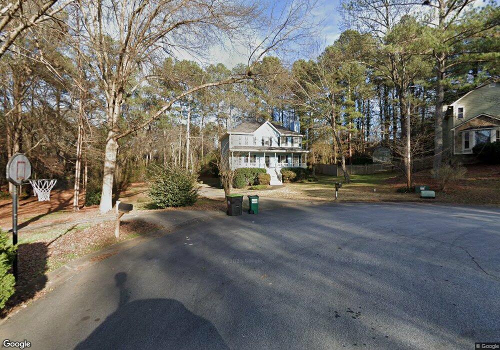
2027 Kolb Ridge Ct SW Marietta, GA 30008
Southwestern Marietta NeighborhoodEstimated Value: $360,000 - $384,652
4
Beds
3
Baths
1,740
Sq Ft
$215/Sq Ft
Est. Value
About This Home
This home is located at 2027 Kolb Ridge Ct SW, Marietta, GA 30008 and is currently estimated at $373,413, approximately $214 per square foot. 2027 Kolb Ridge Ct SW is a home located in Cobb County with nearby schools including Cheatham Hill Elementary School, Smitha Middle School, and Osborne High School.
Ownership History
Date
Name
Owned For
Owner Type
Purchase Details
Closed on
Sep 29, 2000
Sold by
Griffith Herman E and Griffith Judith R
Bought by
Beard Catherine L and Beard Robin L
Current Estimated Value
Home Financials for this Owner
Home Financials are based on the most recent Mortgage that was taken out on this home.
Original Mortgage
$105,600
Outstanding Balance
$38,133
Interest Rate
7.97%
Mortgage Type
New Conventional
Estimated Equity
$335,280
Create a Home Valuation Report for This Property
The Home Valuation Report is an in-depth analysis detailing your home's value as well as a comparison with similar homes in the area
Home Values in the Area
Average Home Value in this Area
Purchase History
| Date | Buyer | Sale Price | Title Company |
|---|---|---|---|
| Beard Catherine L | $132,000 | -- |
Source: Public Records
Mortgage History
| Date | Status | Borrower | Loan Amount |
|---|---|---|---|
| Open | Beard Catherine L | $105,600 |
Source: Public Records
Tax History Compared to Growth
Tax History
| Year | Tax Paid | Tax Assessment Tax Assessment Total Assessment is a certain percentage of the fair market value that is determined by local assessors to be the total taxable value of land and additions on the property. | Land | Improvement |
|---|---|---|---|---|
| 2025 | $729 | $136,236 | $12,800 | $123,436 |
| 2024 | $732 | $136,236 | $12,800 | $123,436 |
| 2023 | $526 | $136,236 | $12,800 | $123,436 |
| 2022 | $631 | $102,544 | $12,800 | $89,744 |
| 2021 | $573 | $83,296 | $12,800 | $70,496 |
| 2020 | $540 | $72,192 | $12,800 | $59,392 |
| 2019 | $540 | $72,192 | $12,800 | $59,392 |
| 2018 | $517 | $64,364 | $11,200 | $53,164 |
| 2017 | $1,486 | $64,364 | $11,200 | $53,164 |
| 2016 | $1,264 | $54,236 | $11,200 | $43,036 |
| 2015 | $1,022 | $43,540 | $12,960 | $30,580 |
| 2014 | $1,031 | $43,540 | $0 | $0 |
Source: Public Records
Map
Nearby Homes
- 1951 Bergerac Ct SW
- 1927 Kolb Farm Cir SW Unit 90
- 1472 Chapel Hill Ln SW
- 1830 Kolb Farm Cir SW Unit 7
- 1906 Kolb Farm Cir SW Unit 51
- 1784 Hammond Woods Cir SW
- 1718 Rifle Ridge SW
- 1799 Hammond Woods Cir SW
- 2121 Cumberland Creek Trail SW
- 2001 MacLand Square Dr Unit 11
- 1467 Glynn Oaks Cir SW
- 2002 MacLand Square Dr Unit 1
- 1704 Sterling Trail SW
- 1589 Hammond Woods Cir SW
- 1946 MacLand Rd SW
- 2379 Moseley Place SW
- 2029 Kolb Ridge Ct SW
- 2028 Kolb Ridge Ct SW
- 2031 Kolb Ridge Ct SW
- 2030 Kolb Ridge Ct SW
- 1890 Callaway Rd SW
- 1842 Callaway Rd SW
- 2039 Kolb Ridge Ct SW
- 1836 Callaway Rd SW
- 2032 Kolb Ridge Ct SW
- 1872 Kolb Farm Cir SW
- 1872 Kolb Farm Cir SW Unit 1872
- 1874 Kolb Farm Cir SW
- 1866 Kolb Farm Cir SW
- 1866 Kolb Farm Cir SW Unit 11
- 1880 Kolb Farm Cir SW
- 1496 Kolb Ridge Dr SW
- 1864 Kolb Farm Cir SW Unit 14
- 2049 Kolb Ridge Ct SW
- 1858 Kolb Farm Cir SW
- 1494 Kolb Ridge Dr SW