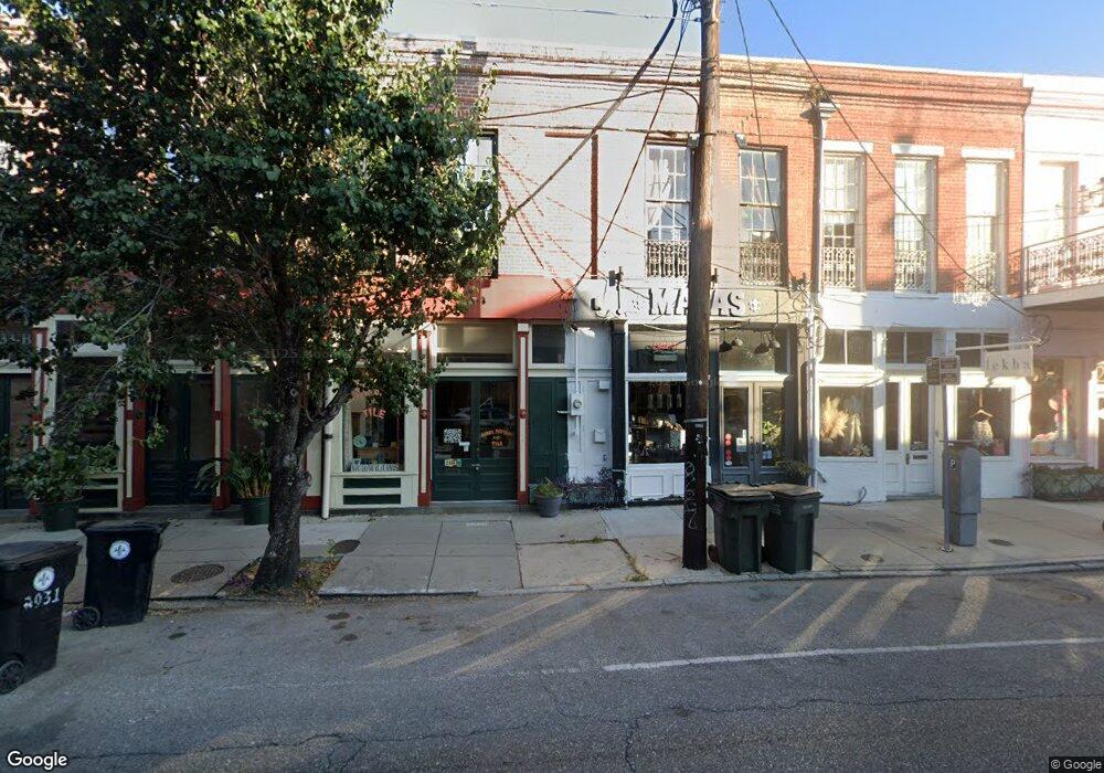
2027 Magazine St New Orleans, LA 70130
Lower Garden District NeighborhoodEstimated Value: $1,004,703
--
Bed
--
Bath
3,072
Sq Ft
$327/Sq Ft
Est. Value
About This Home
This home is located at 2027 Magazine St, New Orleans, LA 70130 and is currently estimated at $1,004,703, approximately $327 per square foot. 2027 Magazine St is a home located in Orleans Parish with nearby schools including James M. Singleton Charter School, Homer A. Plessy Treme Community School, and Rooted School.
Ownership History
Date
Name
Owned For
Owner Type
Purchase Details
Closed on
Mar 4, 2013
Sold by
Historic Investments Llc
Bought by
Mojitoland Llc
Current Estimated Value
Home Financials for this Owner
Home Financials are based on the most recent Mortgage that was taken out on this home.
Original Mortgage
$360,000
Outstanding Balance
$252,888
Interest Rate
3.44%
Mortgage Type
Commercial
Estimated Equity
$751,815
Create a Home Valuation Report for This Property
The Home Valuation Report is an in-depth analysis detailing your home's value as well as a comparison with similar homes in the area
Home Values in the Area
Average Home Value in this Area
Purchase History
| Date | Buyer | Sale Price | Title Company |
|---|---|---|---|
| Mojitoland Llc | $450,000 | -- |
Source: Public Records
Mortgage History
| Date | Status | Borrower | Loan Amount |
|---|---|---|---|
| Open | Mojitoland Llc | $360,000 |
Source: Public Records
Tax History Compared to Growth
Tax History
| Year | Tax Paid | Tax Assessment Tax Assessment Total Assessment is a certain percentage of the fair market value that is determined by local assessors to be the total taxable value of land and additions on the property. | Land | Improvement |
|---|---|---|---|---|
| 2025 | $8,387 | $63,540 | $7,630 | $55,910 |
| 2024 | $8,514 | $63,540 | $7,630 | $55,910 |
| 2023 | $8,624 | $66,100 | $5,940 | $60,160 |
| 2022 | $8,624 | $61,290 | $5,940 | $55,350 |
| 2021 | $8,260 | $57,380 | $5,940 | $51,440 |
| 2020 | $9,610 | $66,100 | $5,940 | $60,160 |
| 2019 | $9,749 | $64,530 | $5,940 | $58,590 |
| 2018 | $9,943 | $64,530 | $5,940 | $58,590 |
| 2017 | $9,494 | $64,530 | $5,940 | $58,590 |
| 2016 | $9,794 | $64,530 | $5,940 | $58,590 |
| 2015 | $9,784 | $65,810 | $3,390 | $62,420 |
| 2014 | -- | $65,810 | $3,390 | $62,420 |
| 2013 | -- | $23,900 | $3,390 | $20,510 |
Source: Public Records
Map
Nearby Homes
- 1132 Saint Andrew St
- 1136 Saint Andrew St
- 2012 Camp St Unit 2012
- 2019 Camp St Unit 6
- 1215 Saint Andrew St
- 1821 Sophie Wright Place
- 2124 Camp St
- 1026 28 Josephine St
- 1926 28 Constance St
- 1812 Hastings Place
- 1920 22 Constance St
- 1920 Constance St
- 928 30 St Mary St
- 1544 Camp St Unit 9
- 1118 Orange St Unit 8
- 1535 37 Camp Place
- 2025 Magazine St
- 2023 Magazine St
- 2035 Magazine St
- 2011 Magazine St Unit 13-15
- 2011 Magazine St Unit 7
- 2011 Magazine St Unit 9
- 2011 Magazine St Unit 8
- 2011 Magazine St Unit 10
- 2011 Magazine St Unit 3-4-5
- 2011 Magazine St Unit 17
- 2011 Magazine St Unit 18
- 2011 Magazine St Unit 6
- 2011 Magazine St Unit 2
- 2011 Magazine St Unit 1
- 2011 Magazine St
- 2015 Magazine St
- 2041 Magazine St Unit F
- 2041 Magazine St Unit D
- 2041 Magazine St Unit B
- 2041 Magazine St Unit A