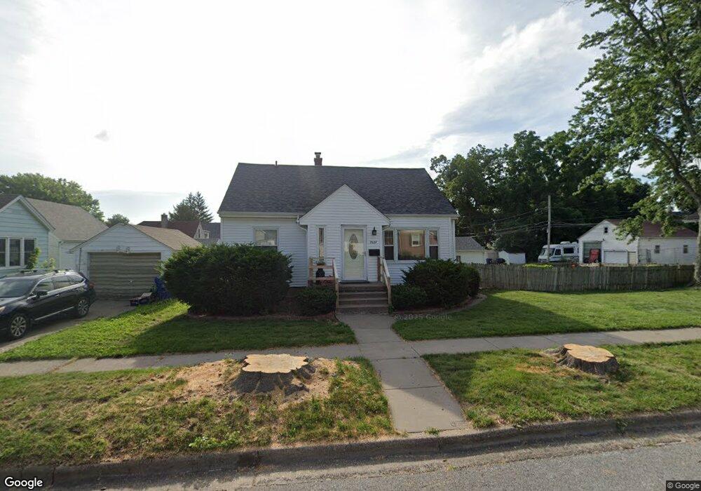
2027 N Sturdevant St Davenport, IA 52804
Northwest Davenport NeighborhoodEstimated Value: $167,000 - $175,000
3
Beds
1
Bath
1,882
Sq Ft
$91/Sq Ft
Est. Value
About This Home
This home is located at 2027 N Sturdevant St, Davenport, IA 52804 and is currently estimated at $171,725, approximately $91 per square foot. 2027 N Sturdevant St is a home located in Scott County with nearby schools including Tygart Creek Elementary School, Adams Elementary School, and Christian County Day Treatment Center Alt.
Ownership History
Date
Name
Owned For
Owner Type
Purchase Details
Closed on
Dec 1, 2009
Sold by
Johnston Garnett M
Bought by
Johnston Mary Lou
Current Estimated Value
Home Financials for this Owner
Home Financials are based on the most recent Mortgage that was taken out on this home.
Original Mortgage
$73,200
Interest Rate
5.02%
Mortgage Type
New Conventional
Create a Home Valuation Report for This Property
The Home Valuation Report is an in-depth analysis detailing your home's value as well as a comparison with similar homes in the area
Home Values in the Area
Average Home Value in this Area
Purchase History
| Date | Buyer | Sale Price | Title Company |
|---|---|---|---|
| Johnston Mary Lou | -- | None Available |
Source: Public Records
Mortgage History
| Date | Status | Borrower | Loan Amount |
|---|---|---|---|
| Closed | Johnston Mary Lou | $73,200 |
Source: Public Records
Tax History Compared to Growth
Tax History
| Year | Tax Paid | Tax Assessment Tax Assessment Total Assessment is a certain percentage of the fair market value that is determined by local assessors to be the total taxable value of land and additions on the property. | Land | Improvement |
|---|---|---|---|---|
| 2025 | $2,498 | $158,890 | $26,010 | $132,880 |
| 2024 | $2,434 | $150,030 | $26,010 | $124,020 |
| 2023 | $2,856 | $150,030 | $26,010 | $124,020 |
| 2022 | $2,752 | $142,590 | $26,010 | $116,580 |
| 2021 | $2,752 | $137,160 | $26,010 | $111,150 |
| 2020 | $2,172 | $108,800 | $26,010 | $82,790 |
| 2019 | $2,112 | $102,670 | $26,010 | $76,660 |
| 2018 | $2,064 | $102,670 | $26,010 | $76,660 |
| 2017 | $571 | $102,670 | $26,010 | $76,660 |
| 2016 | $2,058 | $102,670 | $0 | $0 |
| 2015 | $2,058 | $104,480 | $0 | $0 |
| 2014 | $2,128 | $104,480 | $0 | $0 |
| 2013 | $2,086 | $0 | $0 | $0 |
| 2012 | -- | $100,680 | $29,130 | $71,550 |
Source: Public Records
Map
Nearby Homes
- 1525 W High St
- 1637 W Pleasant St
- 2015 Washington St
- 1517 W Lombard St
- 2221 Madison St
- 1658 W Lombard St
- 1723 W Locust St
- 2026 N Marquette St
- 2308 Wilkes Ave
- 2508 N Sturdevant St
- 1419 N Division St
- 2424 Davie St
- 2302 N Howell St
- 1548 W Central Park Ave
- 1505 W 14th St
- 1921 Lillie Ave
- 2103 W High St
- 1514 N Marquette St
- 2325 N Marquette St
- 1636 W Columbia Ave
- 2017 N Sturdevant St
- 1547 W High St
- 1557 W High St
- 1553 W High St
- 2013 N Sturdevant St
- 1543 W High St
- 2026 N Sturdevant St
- 2020 N Sturdevant St
- 2030 N Sturdevant St
- 1533 W High St
- 2034 N Sturdevant St
- 1540 W Pleasant St
- 1558 W Pleasant St
- 1602 W Pleasant St
- 1538 W Pleasant St
- 1611 W High St
- 1529 W High St
- 1608 W Pleasant St
- 1558 W High St
- 1554 W High St