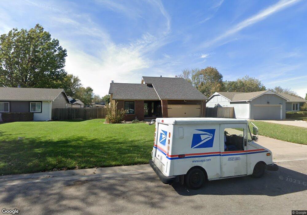
2027 N Westfield St Wichita, KS 67212
West Wichita NeighborhoodEstimated Value: $264,803 - $267,000
4
Beds
3
Baths
1,728
Sq Ft
$154/Sq Ft
Est. Value
About This Home
This home is located at 2027 N Westfield St, Wichita, KS 67212 and is currently estimated at $265,902, approximately $153 per square foot. 2027 N Westfield St is a home located in Sedgwick County with nearby schools including Vermillion Elementary School, Maize South Elementary School, and Pray-Woodman Elementary.
Ownership History
Date
Name
Owned For
Owner Type
Purchase Details
Closed on
May 7, 1999
Sold by
Banks Wade B and Banks Linda D
Bought by
Michels Cynthia M and Smith Cynthia M
Current Estimated Value
Home Financials for this Owner
Home Financials are based on the most recent Mortgage that was taken out on this home.
Original Mortgage
$92,000
Outstanding Balance
$23,771
Interest Rate
7.04%
Estimated Equity
$242,131
Create a Home Valuation Report for This Property
The Home Valuation Report is an in-depth analysis detailing your home's value as well as a comparison with similar homes in the area
Home Values in the Area
Average Home Value in this Area
Purchase History
| Date | Buyer | Sale Price | Title Company |
|---|---|---|---|
| Michels Cynthia M | -- | -- |
Source: Public Records
Mortgage History
| Date | Status | Borrower | Loan Amount |
|---|---|---|---|
| Open | Michels Cynthia M | $92,000 |
Source: Public Records
Tax History Compared to Growth
Tax History
| Year | Tax Paid | Tax Assessment Tax Assessment Total Assessment is a certain percentage of the fair market value that is determined by local assessors to be the total taxable value of land and additions on the property. | Land | Improvement |
|---|---|---|---|---|
| 2025 | $3,068 | $27,899 | $5,612 | $22,287 |
| 2023 | $3,068 | $23,599 | $4,336 | $19,263 |
| 2022 | $2,649 | $21,897 | $4,083 | $17,814 |
| 2021 | $2,465 | $20,275 | $2,645 | $17,630 |
| 2020 | $2,465 | $20,275 | $2,645 | $17,630 |
| 2019 | $2,279 | $18,768 | $2,645 | $16,123 |
| 2018 | $2,165 | $17,871 | $2,208 | $15,663 |
| 2017 | $2,021 | $0 | $0 | $0 |
| 2016 | $2,000 | $0 | $0 | $0 |
| 2015 | $1,920 | $0 | $0 | $0 |
| 2014 | $1,954 | $0 | $0 | $0 |
Source: Public Records
Map
Nearby Homes
- 9029 W Westlawn St
- 9111 W 21st St N
- 9017 W Westlawn St
- 9005 W Westlawn St
- 9706 W Bella Vista St
- 9802 W Cornelison St
- 2212 N Chadsworth St
- 8911 W Jamesburg St
- 9117 W Westport St
- 8803 W 18th Ct N
- 2406 N Watersedge Cir
- 1842 N Cheryl Ct
- 2206 N Chadsworth St
- 9701 W Greenspoint St
- 1736 N Amarado St
- 2416 N Amarado St
- 9702 W Greenspoint St
- 9706 W Greenspoint St
- 9409 W Sterling St
- 2425 N Baytree St
- 2035 N Westfield St
- 2019 N Westfield St
- 2018 N Keith Cir
- 2010 N Keith Cir
- 2024 N Keith Cir
- 2011 N Westfield St
- 2026 N Westfield St
- 2018 N Westfield St
- 2032 N Westfield St
- 2104 N Westfield Cir
- 2111 N Westfield Cir
- 2004 N Keith Cir
- 2005 N Westfield St
- 2102 N Keith St
- 2004 N Westfield St
- 2110 N Westfield Cir
- 9244 W Westlawn St
- 2119 N Westfield Cir
- 2017 N Keith Cir
- 2011 N Keith Cir