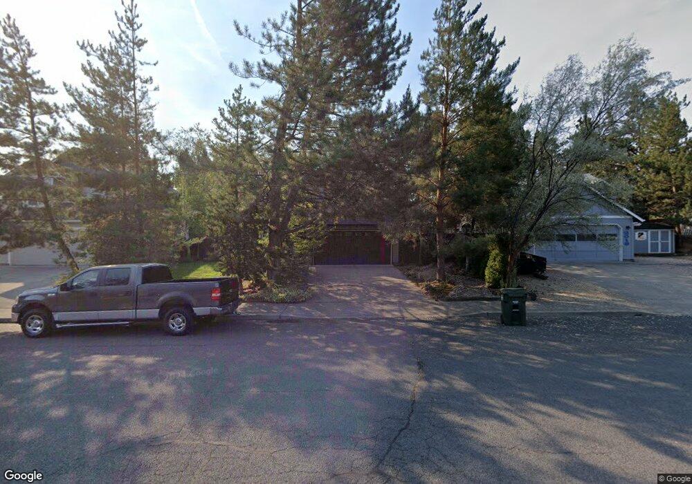
2027 NE Red Rock Ln Bend, OR 97701
Mountain View NeighborhoodEstimated Value: $543,000 - $564,000
3
Beds
3
Baths
1,585
Sq Ft
$347/Sq Ft
Est. Value
About This Home
This home is located at 2027 NE Red Rock Ln, Bend, OR 97701 and is currently estimated at $549,702, approximately $346 per square foot. 2027 NE Red Rock Ln is a home located in Deschutes County with nearby schools including Ensworth Elementary School, Pilot Butte Middle School, and Mountain View Senior High School.
Ownership History
Date
Name
Owned For
Owner Type
Purchase Details
Closed on
Aug 31, 2005
Sold by
Dooley Timothy K
Bought by
Dooley Timothy K and Dooley Karen L
Current Estimated Value
Create a Home Valuation Report for This Property
The Home Valuation Report is an in-depth analysis detailing your home's value as well as a comparison with similar homes in the area
Home Values in the Area
Average Home Value in this Area
Purchase History
| Date | Buyer | Sale Price | Title Company |
|---|---|---|---|
| Dooley Timothy K | -- | Western Title & Escrow Co |
Source: Public Records
Tax History Compared to Growth
Tax History
| Year | Tax Paid | Tax Assessment Tax Assessment Total Assessment is a certain percentage of the fair market value that is determined by local assessors to be the total taxable value of land and additions on the property. | Land | Improvement |
|---|---|---|---|---|
| 2025 | $3,468 | $205,250 | -- | -- |
| 2024 | $3,337 | $199,280 | -- | -- |
| 2023 | $3,093 | $193,480 | $0 | $0 |
| 2022 | $2,886 | $182,380 | $0 | $0 |
| 2021 | $2,890 | $177,070 | $0 | $0 |
| 2020 | $2,742 | $177,070 | $0 | $0 |
| 2019 | $2,666 | $171,920 | $0 | $0 |
| 2018 | $2,591 | $166,920 | $0 | $0 |
| 2017 | $2,515 | $162,060 | $0 | $0 |
| 2016 | $2,398 | $157,340 | $0 | $0 |
| 2015 | $2,332 | $152,760 | $0 | $0 |
| 2014 | $2,263 | $148,320 | $0 | $0 |
Source: Public Records
Map
Nearby Homes
- 2739 NE Cordata
- 2976 NE Bluebell Ln
- 2843 NE Purcell Blvd
- 2241 NE Hyatt Ct
- 2987 NE Oakley Ct
- 2574 NE Robinson St
- 2254 NE Indigo Ln
- 2293 NE Lynda Ln
- 2382 NE Jackson Ave
- 2026 NE Neil Way
- 2485 NE Jennie Jo Ct
- 2101 NE Holliday Ave
- 2011 NE Neil Way
- 2025 NE Neil Way
- 2508 NE Buckwheat Ct
- 21620 NE Butler Market Rd
- 3280 NE Jonahs Ct
- 2498 NE Rosemary Dr
- 2567 NE Rosemary Dr
- 2939 NE Quiet Canyon Dr
- 2049 NE Red Rock Ln
- 2013 NE Red Rock Ln
- 2051 NE Red Rock Ln
- 2009 NE Red Rock Ln
- 2092 NE Wells Acres Rd
- 2110 NE Wells Acres Rd
- 2124 NE Wells Acres Rd
- 2076 NE Wells Acres Rd
- 2046 NE Red Rock Ln
- 2004 NE Red Rock Ln
- 2069 NE Red Rock Ln
- 2003 NE Red Rock Ln
- 2136 NE Wells Acres Rd
- 2933 NE Bluebell Ln
- 2062 NE Wells Acres Rd
- 2091 NE Wells Acres Rd
- 2962 NE Bluebell Ln
- 2117 NE Wells Acres Rd
- 2957 NE Bluebell Ln