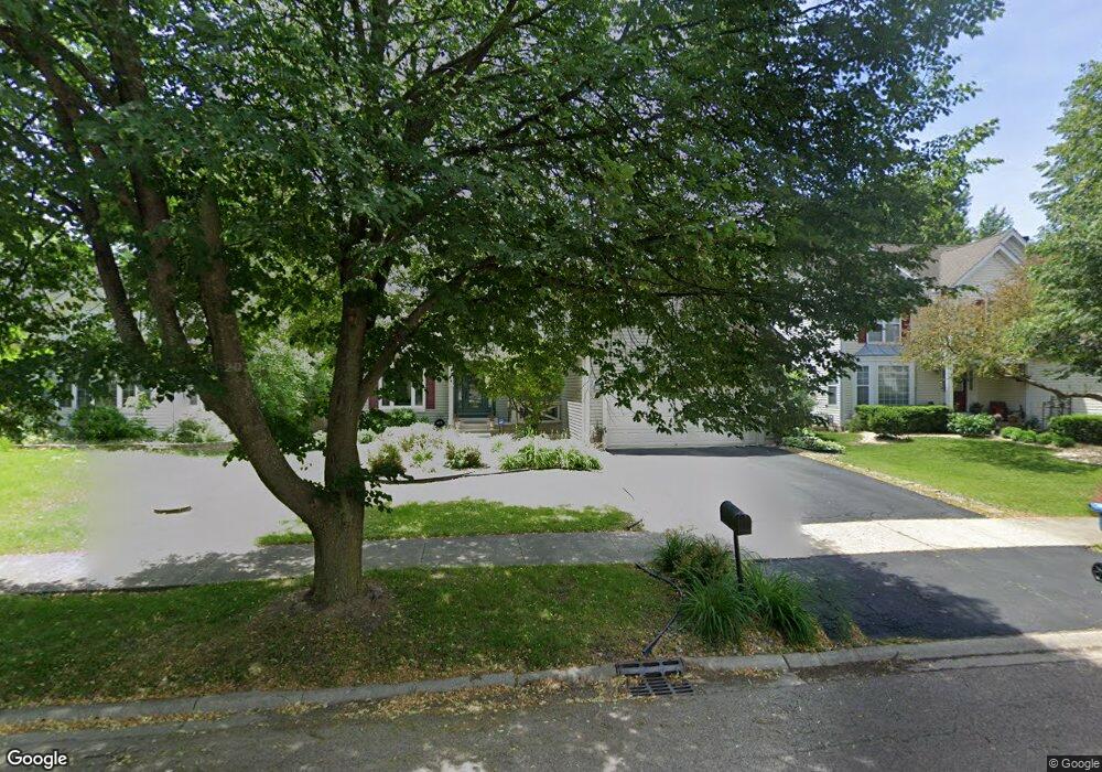
2027 Pointe Blvd Aurora, IL 60504
South Farnsworth NeighborhoodEstimated Value: $401,000 - $444,000
3
Beds
4
Baths
1,936
Sq Ft
$213/Sq Ft
Est. Value
About This Home
This home is located at 2027 Pointe Blvd, Aurora, IL 60504 and is currently estimated at $413,306, approximately $213 per square foot. 2027 Pointe Blvd is a home located in Kane County with nearby schools including The Wheatlands Elementary School, Bednarcik Jr. High School, and Oswego East High School.
Ownership History
Date
Name
Owned For
Owner Type
Purchase Details
Closed on
Aug 24, 2007
Sold by
Harding Daniel R and Sorrentino Tina M
Bought by
Ross Yvette
Current Estimated Value
Home Financials for this Owner
Home Financials are based on the most recent Mortgage that was taken out on this home.
Original Mortgage
$263,000
Outstanding Balance
$166,944
Interest Rate
6.71%
Mortgage Type
Purchase Money Mortgage
Estimated Equity
$246,362
Create a Home Valuation Report for This Property
The Home Valuation Report is an in-depth analysis detailing your home's value as well as a comparison with similar homes in the area
Home Values in the Area
Average Home Value in this Area
Purchase History
| Date | Buyer | Sale Price | Title Company |
|---|---|---|---|
| Ross Yvette | $263,000 | Ticor Title Insurance Co |
Source: Public Records
Mortgage History
| Date | Status | Borrower | Loan Amount |
|---|---|---|---|
| Open | Ross Yvette | $263,000 |
Source: Public Records
Tax History
| Year | Tax Paid | Tax Assessment Tax Assessment Total Assessment is a certain percentage of the fair market value that is determined by local assessors to be the total taxable value of land and additions on the property. | Land | Improvement |
|---|---|---|---|---|
| 2024 | $9,972 | $122,298 | $21,211 | $101,087 |
| 2023 | $9,564 | $109,273 | $18,952 | $90,321 |
| 2022 | $9,296 | $99,702 | $17,292 | $82,410 |
| 2021 | $8,872 | $92,824 | $16,099 | $76,725 |
| 2020 | $8,000 | $86,220 | $14,954 | $71,266 |
| 2019 | $8,717 | $85,240 | $13,855 | $71,385 |
| 2018 | $8,191 | $80,706 | $12,816 | $67,890 |
| 2017 | $8,215 | $78,978 | $11,809 | $67,169 |
| 2016 | $7,488 | $71,340 | $10,123 | $61,217 |
| 2015 | -- | $64,195 | $8,705 | $55,490 |
| 2014 | -- | $60,019 | $8,372 | $51,647 |
| 2013 | -- | $59,165 | $8,253 | $50,912 |
Source: Public Records
Map
Nearby Homes
- 2100 Hammel Ave
- 1875 Keating Dr
- 1874 Keating Dr
- 1871 Keating Dr
- 1868 Keating Dr
- 1859 Keating Dr
- 1855 Keating Dr
- 1850 Wisteria Dr Unit 343
- 1830 Canyon Creek Dr
- 1900 Canyon Creek Dr
- 1715 Baler Ave
- 1738 Baler Ave
- 1733 Baler Ave
- 1853 Baler Ave
- 1740 Baler Ave
- 1740 Cumberland Rd Unit 8B
- 1782 Montrose Dr
- 1745 Baler Ave
- 1733 Stable Ln
- 1966 Congrove Dr
- 2009 Pointe Blvd
- 2045 Pointe Blvd
- 1661 Blackwell Ln
- 1663 Blackwell Ln
- 1991 Pointe Blvd
- 1659 Blackwell Ln
- 2063 Pointe Blvd
- 1665 Blackwell Ln
- 1657 Blackwell Ln
- 2028 Pointe Blvd
- 1992 Pointe Blvd
- 1973 Pointe Blvd
- 2046 Pointe Blvd
- 1974 Pointe Blvd
- 1955 Pointe Blvd
- 1670 Blackwell Ln
- 2064 Pointe Blvd
- 2101 Edinburgh Ln
- 1668 Blackwell Ln
Your Personal Tour Guide
Ask me questions while you tour the home.