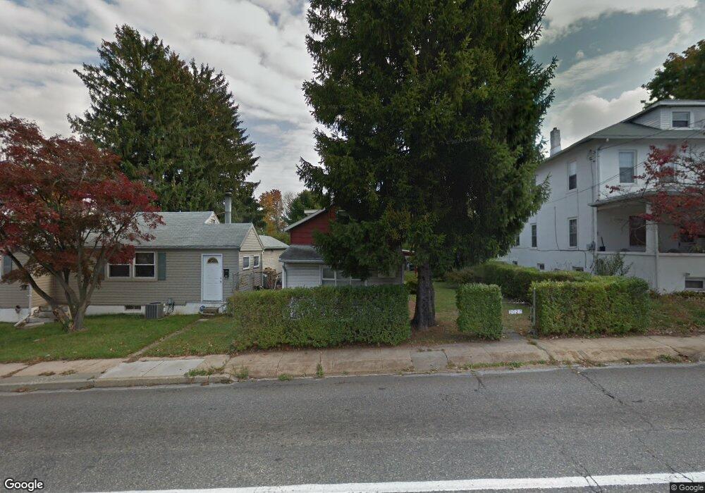
2027 S 4th St Unit 2029 Allentown, PA 18103
Southside NeighborhoodEstimated Value: $169,353 - $192,000
2
Beds
1
Bath
480
Sq Ft
$367/Sq Ft
Est. Value
About This Home
This home is located at 2027 S 4th St Unit 2029, Allentown, PA 18103 and is currently estimated at $176,338, approximately $367 per square foot. 2027 S 4th St Unit 2029 is a home located in Lehigh County with nearby schools including Hiram W Dodd Elementary School, South Mountain Middle School, and Louis E. Dieruff High School.
Ownership History
Date
Name
Owned For
Owner Type
Purchase Details
Closed on
Dec 7, 1990
Sold by
Weaver Marvin E and Weaver Joyce M
Bought by
Babb Daniel L and Babb Valerie J
Current Estimated Value
Purchase Details
Closed on
Jul 12, 1989
Sold by
Weaver Marvin E and Weaver Elizabeth M
Bought by
Weaver Marvin E and Weaver Joyce M
Purchase Details
Closed on
Nov 1, 1985
Sold by
Serfass Mary A and Wieder Dolores J
Bought by
Weaver Marvin E and Weaver Elizabeth M
Create a Home Valuation Report for This Property
The Home Valuation Report is an in-depth analysis detailing your home's value as well as a comparison with similar homes in the area
Home Values in the Area
Average Home Value in this Area
Purchase History
| Date | Buyer | Sale Price | Title Company |
|---|---|---|---|
| Babb Daniel L | $70,000 | -- | |
| Weaver Marvin E | -- | -- | |
| Weaver Marvin E | $23,000 | -- |
Source: Public Records
Tax History Compared to Growth
Tax History
| Year | Tax Paid | Tax Assessment Tax Assessment Total Assessment is a certain percentage of the fair market value that is determined by local assessors to be the total taxable value of land and additions on the property. | Land | Improvement |
|---|---|---|---|---|
| 2025 | $2,293 | $63,000 | $18,200 | $44,800 |
| 2024 | $2,293 | $63,000 | $18,200 | $44,800 |
| 2023 | $2,293 | $63,000 | $18,200 | $44,800 |
| 2022 | $2,221 | $63,000 | $44,800 | $18,200 |
| 2021 | $2,181 | $63,000 | $18,200 | $44,800 |
| 2020 | $2,131 | $63,000 | $18,200 | $44,800 |
| 2019 | $2,100 | $63,000 | $18,200 | $44,800 |
| 2018 | $1,926 | $63,000 | $18,200 | $44,800 |
| 2017 | $1,882 | $63,000 | $18,200 | $44,800 |
| 2016 | -- | $63,000 | $18,200 | $44,800 |
| 2015 | -- | $63,000 | $18,200 | $44,800 |
| 2014 | -- | $63,000 | $18,200 | $44,800 |
Source: Public Records
Map
Nearby Homes
- 206 208 W Emaus Ave
- 2441 S 4th St
- 2347 S Law St Unit 2349
- 2416 S Alice St Unit 2418
- 566 W Emaus Ave
- 566 588 W Emaus Ave
- 316 W Mountain Rd
- 2429 S Front St
- 2421 S Wood St
- 2401 S Church St
- 2413 S Church St
- 1852 S 2nd St
- 121 Woodcrest Cir
- 642 W Emaus Ave
- 148 W Brookdale St
- 203 W Brookdale St
- 102 W Brookdale St
- 618 Clifford St
- 1865 Chapel Ave
- 135 W Wabash St
- 2301 S 4th St
- 2023 S 4th St
- 2303 S 4th St
- 2305 S 4th St Unit 2309
- 310 W Emaus Ave
- 2032 S 3rd St Unit 2040
- 2026 S 3rd St Unit 2030
- 2030 S 3rd St
- 2022 S 3rd St Unit 2024
- 2042 S 3rd St Unit 2044
- 2026 S 4th St
- 310 W Emmaus Ave
- 2302 S 4th St
- 2315 S 4th St Unit 2317
- 2306 S 4th St Unit 2310
- 2044 S 3rd St
- 2046 S 3rd St Unit 2
- 2046 S 3rd St Unit 2048
- 2016 S 3rd St Unit 2020
- 2312 S 4th St Unit 2316