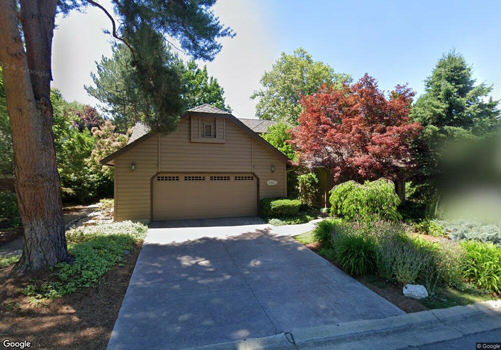
2027 S Springbrook Ln Boise, ID 83706
Southeast Boise NeighborhoodEstimated Value: $971,000 - $1,178,000
4
Beds
3
Baths
2,693
Sq Ft
$383/Sq Ft
Est. Value
About This Home
This home is located at 2027 S Springbrook Ln, Boise, ID 83706 and is currently estimated at $1,031,204, approximately $382 per square foot. 2027 S Springbrook Ln is a home located in Ada County with nearby schools including Riverside Elementary School, East Junior High School, and Timberline High School.
Ownership History
Date
Name
Owned For
Owner Type
Purchase Details
Closed on
Jun 5, 2014
Sold by
Olson Stanley J and Olson Concetta L
Bought by
Olson Stanley Joseph and Olson Concetta Louise
Current Estimated Value
Purchase Details
Closed on
Jun 17, 2002
Sold by
Kuraitis Vincent T and Kuraitis Juliana T
Bought by
Olson Stanley J and Olson Concetta L
Home Financials for this Owner
Home Financials are based on the most recent Mortgage that was taken out on this home.
Original Mortgage
$176,000
Interest Rate
6.25%
Mortgage Type
Purchase Money Mortgage
Create a Home Valuation Report for This Property
The Home Valuation Report is an in-depth analysis detailing your home's value as well as a comparison with similar homes in the area
Home Values in the Area
Average Home Value in this Area
Purchase History
| Date | Buyer | Sale Price | Title Company |
|---|---|---|---|
| Olson Stanley Joseph | -- | None Available | |
| Olson Stanley J | -- | Title One |
Source: Public Records
Mortgage History
| Date | Status | Borrower | Loan Amount |
|---|---|---|---|
| Closed | Olson Stanley J | $176,000 |
Source: Public Records
Tax History Compared to Growth
Tax History
| Year | Tax Paid | Tax Assessment Tax Assessment Total Assessment is a certain percentage of the fair market value that is determined by local assessors to be the total taxable value of land and additions on the property. | Land | Improvement |
|---|---|---|---|---|
| 2025 | $5,230 | $805,000 | -- | -- |
| 2024 | $4,717 | $765,400 | -- | -- |
| 2023 | $5,706 | $721,600 | $0 | $0 |
| 2022 | $6,412 | $863,400 | $0 | $0 |
| 2021 | $5,574 | $634,100 | $0 | $0 |
| 2020 | $5,105 | $529,600 | $0 | $0 |
| 2019 | $5,888 | $533,500 | $0 | $0 |
| 2018 | $5,575 | $466,800 | $0 | $0 |
| 2017 | $5,524 | $445,200 | $0 | $0 |
| 2016 | $5,582 | $435,200 | $0 | $0 |
| 2015 | $5,612 | $422,700 | $0 | $0 |
| 2012 | -- | $350,900 | $0 | $0 |
Source: Public Records
Map
Nearby Homes
- 2094 S White Pine Ln
- 1976 S Wood Duck Ln
- 1993 S Wood Duck Ln
- 1924 S Teal Ln
- 876 E Pennsylvania Ln
- 809 E Pennsylvania Dr
- 964 E Riverpark Ln
- 996 E Riverpark Ln
- 1310 E Woodvine Ct
- 618 E Pennsylvania St
- 2576 E Warm Springs Ave
- 2508 E Warm Springs Ave
- 1525 S Boulder View Ln
- 476 E Chester Ln
- 2478 E Warm Springs Ave
- 2273 S Stephen Ave
- 2209 S Amy Ave
- 2245 S Amy Ave
- 1038 E Fleetwood Ct
- 2673 E Mesa Verde Ct
- 2021 S Springbrook Ln
- 2031 S Springbrook Ln
- 2030 S Springbrook Ln
- 2011 S Springbrook Ln
- 2020 S Springbrook Ln
- 2033 S Springbrook Ln
- 2065 S White Pine Ln
- 2040 S Springbrook Ln
- 2010 S Springbrook Ln
- 2003 S Springbrook Ln
- 2073 S White Pine Ln
- 2061 S White Pine Ln
- 2050 S Springbrook Ln
- 2039 S Springbrook Ln
- 2077 S White Pine Ln
- 2057 S White Pine Ln
- 2043 S Springbrook Ln
- 2047 S Springbrook Ln
- 2060 S Springbrook Ln
- 2081 S White Pine Ln