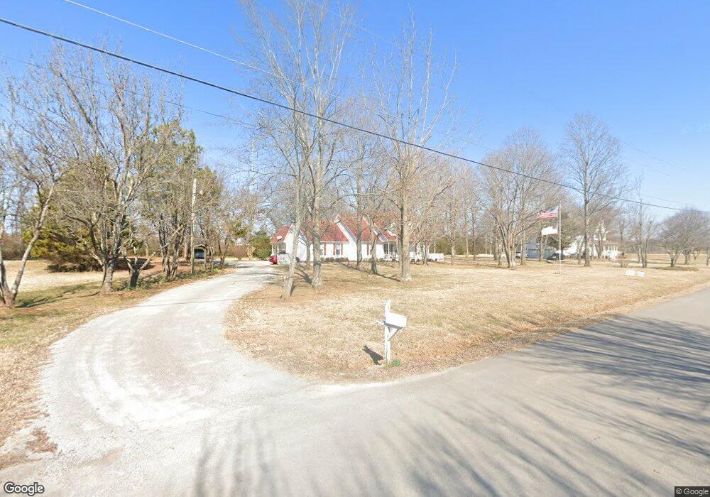
2027 Saint James St Murfreesboro, TN 37128
Estimated Value: $372,654 - $486,000
--
Bed
2
Baths
1,910
Sq Ft
$226/Sq Ft
Est. Value
About This Home
This home is located at 2027 Saint James St, Murfreesboro, TN 37128 and is currently estimated at $432,164, approximately $226 per square foot. 2027 Saint James St is a home located in Rutherford County with nearby schools including Barfield Elementary School, Rockvale Middle School, and Rockvale High School.
Ownership History
Date
Name
Owned For
Owner Type
Purchase Details
Closed on
Mar 29, 2007
Sold by
Beal Timothy D
Bought by
World Outreach Church Of Murfr
Current Estimated Value
Purchase Details
Closed on
May 29, 1997
Sold by
Dean Felder V
Bought by
Beal Timohty D and Beal Kimberly
Home Financials for this Owner
Home Financials are based on the most recent Mortgage that was taken out on this home.
Original Mortgage
$126,176
Interest Rate
8.01%
Create a Home Valuation Report for This Property
The Home Valuation Report is an in-depth analysis detailing your home's value as well as a comparison with similar homes in the area
Home Values in the Area
Average Home Value in this Area
Purchase History
| Date | Buyer | Sale Price | Title Company |
|---|---|---|---|
| World Outreach Church Of Murfr | $205,000 | -- | |
| Beal Timohty D | $130,000 | -- |
Source: Public Records
Mortgage History
| Date | Status | Borrower | Loan Amount |
|---|---|---|---|
| Previous Owner | Beal Timohty D | $126,176 |
Source: Public Records
Tax History Compared to Growth
Tax History
| Year | Tax Paid | Tax Assessment Tax Assessment Total Assessment is a certain percentage of the fair market value that is determined by local assessors to be the total taxable value of land and additions on the property. | Land | Improvement |
|---|---|---|---|---|
| 2025 | $1,442 | $76,850 | $13,750 | $63,100 |
| 2024 | $1,442 | $76,850 | $13,750 | $63,100 |
| 2023 | $1,442 | $76,850 | $13,750 | $63,100 |
| 2022 | $1,242 | $76,850 | $13,750 | $63,100 |
| 2021 | $1,226 | $55,225 | $10,625 | $44,600 |
| 2020 | $1,226 | $55,225 | $10,625 | $44,600 |
| 2019 | $1,226 | $55,225 | $10,625 | $44,600 |
| 2018 | $1,159 | $55,225 | $0 | $0 |
| 2017 | $1,108 | $41,350 | $0 | $0 |
| 2016 | $1,108 | $41,350 | $0 | $0 |
| 2015 | $1,108 | $41,350 | $0 | $0 |
| 2014 | $1,028 | $41,350 | $0 | $0 |
| 2013 | -- | $38,800 | $0 | $0 |
Source: Public Records
Map
Nearby Homes
- 1549 Shalom St
- 2141 Stoney Meadow Dr
- 2071 Sparco Cir
- 1540 Lews Ct
- 1530 Shalom St
- 953 Warrior Dr
- 1856 Orchard Park Dr
- 2023 Pecan Ridge Dr
- 1528 Quantum Ct
- 1524 Quantum Ct
- 1341 Rebecca Johns Dr
- 1337 Rebecca Johns Dr
- 1335 Rebecca Johns Dr
- 1367 Rebecca Johns Dr
- 1365 Rebecca Johns Dr
- 1427 Doc Johns Blvd
- 1425 Doc Johns Blvd
- 1435 Doc Johns Blvd
- 1911 Gracie Bug Loop
- 1909 Gracie Bug Loop
- 2007 Saint James St
- 2033 Saint James St
- 2044 Saint James St
- 2018 Winslow Ct
- 2029 Winslow Ct
- 2048 Saint James St
- 1937 Barfield Rd
- 2020 Barfield Rd
- 2024 Winslow Ct
- 2043 Winslow Ct
- 2028 Winslow Ct
- 2054 Saint James St
- 2034 Winslow Ct
- 2049 Winslow Ct
- 2040 Winslow Ct
- 2060 Saint James St
- 1917 Barfield Rd
- 1921 Salem Rd
- 2055 Winslow Ct
- 2048 Winslow Ct