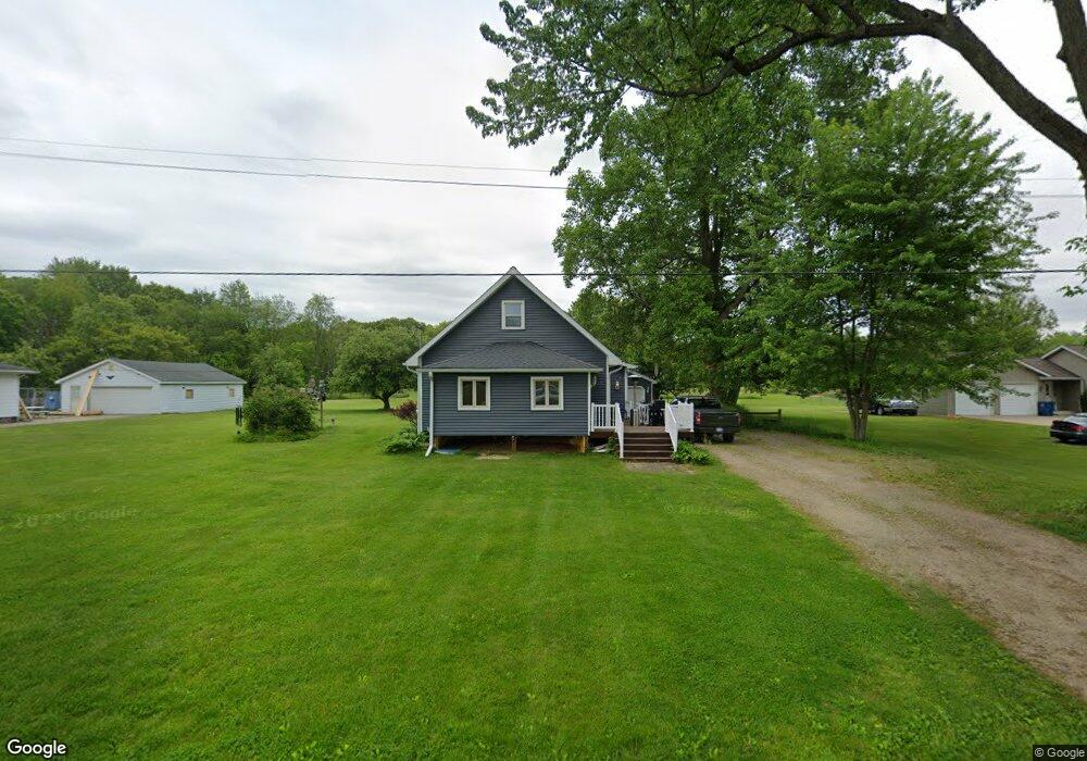
20276 Mcallister Rd Battle Creek, MI 49014
Estimated Value: $238,000 - $261,275
3
Beds
1
Bath
1,084
Sq Ft
$227/Sq Ft
Est. Value
About This Home
This home is located at 20276 Mcallister Rd, Battle Creek, MI 49014 and is currently estimated at $246,569, approximately $227 per square foot. 20276 Mcallister Rd is a home located in Calhoun County with nearby schools including Pennfield Dunlap Elementary School, Pennfield Purdy School, and Pennfield Middle School.
Ownership History
Date
Name
Owned For
Owner Type
Purchase Details
Closed on
Oct 24, 2005
Sold by
Wellington John Albert
Bought by
Russell Brian
Current Estimated Value
Home Financials for this Owner
Home Financials are based on the most recent Mortgage that was taken out on this home.
Original Mortgage
$31,000
Interest Rate
6.48%
Mortgage Type
Purchase Money Mortgage
Purchase Details
Closed on
Sep 23, 1999
Bought by
Roan Rodney and Roan Sheri
Purchase Details
Closed on
Sep 26, 1995
Sold by
Sands Clarence
Bought by
Sands Clarence & Viola Trust
Create a Home Valuation Report for This Property
The Home Valuation Report is an in-depth analysis detailing your home's value as well as a comparison with similar homes in the area
Home Values in the Area
Average Home Value in this Area
Purchase History
| Date | Buyer | Sale Price | Title Company |
|---|---|---|---|
| Russell Brian | $49,000 | None Available | |
| Wellington John Albert | $2,500 | None Available | |
| Roan Rodney | $98,500 | -- | |
| Sands Clarence & Viola Trust | $100 | -- |
Source: Public Records
Mortgage History
| Date | Status | Borrower | Loan Amount |
|---|---|---|---|
| Previous Owner | Wellington John Albert | $31,000 |
Source: Public Records
Tax History Compared to Growth
Tax History
| Year | Tax Paid | Tax Assessment Tax Assessment Total Assessment is a certain percentage of the fair market value that is determined by local assessors to be the total taxable value of land and additions on the property. | Land | Improvement |
|---|---|---|---|---|
| 2025 | $2,954 | $100,600 | $0 | $0 |
| 2024 | $1,344 | $89,400 | $0 | $0 |
| 2023 | $2,605 | $79,310 | $0 | $0 |
| 2022 | $1,220 | $73,450 | $0 | $0 |
| 2021 | $2,559 | $68,320 | $0 | $0 |
| 2020 | $2,517 | $65,280 | $0 | $0 |
| 2019 | $0 | $59,490 | $0 | $0 |
| 2018 | $0 | $56,420 | $17,340 | $39,080 |
| 2017 | $0 | $56,150 | $0 | $0 |
| 2016 | $0 | $54,330 | $0 | $0 |
| 2015 | -- | $56,340 | $34,511 | $21,829 |
| 2014 | -- | $55,160 | $34,511 | $20,649 |
Source: Public Records
Map
Nearby Homes
- 114 Wanondoger Cir
- 215 Pony Ave
- 20259 Pine Lake Rd
- 220 Pennbrook Trail
- 150 Pennbrook Trail
- 20291 Chippewa Trail
- 8671 Gorsline Rd
- 21520 Swafford Rd
- 1731 Capital Ave NE
- 21534 Clear Lake Ave
- 19687 East Ave N
- V/L East Ave N
- 125 Sunset Blvd W
- 9559 Brian Dr
- 22511 Capital Ave NE
- 19016 11 Mile Rd
- 332 Community Dr
- Elements 2200 Plan at Loganwood Acres - North
- Elements 2700 Plan at Loganwood Acres - North
- Integrity 2061 V8.1a Plan at Loganwood Acres - North
- 20216 Mcallister Rd
- 20294 Mcallister Rd
- 20328 Mcallister Rd
- 20225 Mcallister Rd
- 20392 Mcallister Rd
- 20201 Mcallister Rd
- 20478 Mcallister Rd
- 20496 Mcallister Rd
- 8974 Pennfield Rd
- 20024 Mcallister Rd
- 8860 Pennfield Rd
- 20017 Mcallister Rd
- 20075 Mcallister Rd
- 9060 Pennfield Rd
- 8891 Pennfield Rd
- 9100 Pennfield Rd
- 19975 Mcallister Rd
- 9114 Pennfield Rd
- 8931 Pennfield Rd
- 19961 Mcallister Rd