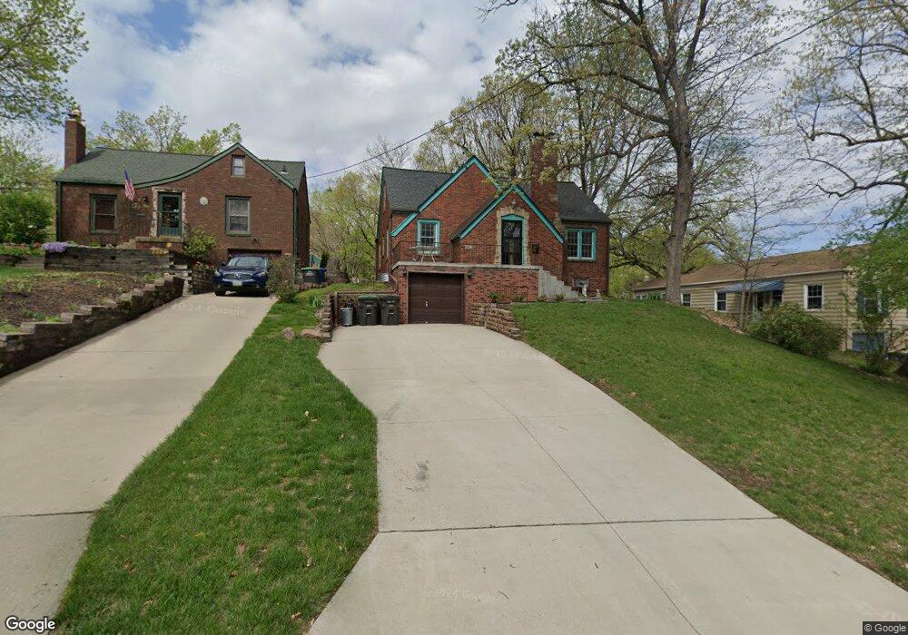
2028 Avalon Rd Des Moines, IA 50314
Mondamin Presidential NeighborhoodEstimated Value: $184,000 - $231,000
3
Beds
2
Baths
1,264
Sq Ft
$160/Sq Ft
Est. Value
About This Home
This home is located at 2028 Avalon Rd, Des Moines, IA 50314 and is currently estimated at $202,114, approximately $159 per square foot. 2028 Avalon Rd is a home located in Polk County with nearby schools including Monroe Elementary School, Meredith Middle School, and Hoover High School.
Ownership History
Date
Name
Owned For
Owner Type
Purchase Details
Closed on
Jun 3, 2004
Sold by
Wells Fargo Financial Iowa 3 Inc
Bought by
Wolfe Linda
Current Estimated Value
Home Financials for this Owner
Home Financials are based on the most recent Mortgage that was taken out on this home.
Original Mortgage
$79,834
Outstanding Balance
$38,899
Interest Rate
6.06%
Mortgage Type
Purchase Money Mortgage
Estimated Equity
$163,215
Create a Home Valuation Report for This Property
The Home Valuation Report is an in-depth analysis detailing your home's value as well as a comparison with similar homes in the area
Home Values in the Area
Average Home Value in this Area
Purchase History
| Date | Buyer | Sale Price | Title Company |
|---|---|---|---|
| Wolfe Linda | $69,500 | -- |
Source: Public Records
Mortgage History
| Date | Status | Borrower | Loan Amount |
|---|---|---|---|
| Open | Wolfe Linda | $79,834 | |
| Closed | Wolfe Linda | $12,000 |
Source: Public Records
Tax History
| Year | Tax Paid | Tax Assessment Tax Assessment Total Assessment is a certain percentage of the fair market value that is determined by local assessors to be the total taxable value of land and additions on the property. | Land | Improvement |
|---|---|---|---|---|
| 2025 | $3,140 | $200,400 | $28,400 | $172,000 |
| 2024 | $3,140 | $177,100 | $24,600 | $152,500 |
| 2023 | $3,232 | $177,100 | $24,600 | $152,500 |
| 2022 | $3,206 | $146,000 | $20,800 | $125,200 |
| 2021 | $2,998 | $146,000 | $20,800 | $125,200 |
| 2020 | $3,108 | $128,700 | $18,400 | $110,300 |
| 2019 | $2,784 | $128,700 | $18,400 | $110,300 |
| 2018 | $2,750 | $112,100 | $15,800 | $96,300 |
| 2017 | $2,502 | $112,100 | $15,800 | $96,300 |
| 2016 | $2,018 | $108,300 | $15,100 | $93,200 |
| 2015 | $2,018 | $108,300 | $15,100 | $93,200 |
| 2014 | $1,926 | $107,100 | $14,400 | $92,700 |
Source: Public Records
Map
Nearby Homes
- 1615 Jefferson Ave
- 1021 Franklin Ave
- 2009 10th St
- 1916 Jefferson Ave
- 1729 10th St
- 1727 Mondamin Ave
- 1609 12th St
- 1716 Mondamin Ave
- 1616 11th St
- 1711 10th St
- 2009-2013 Martin Luther King jr Pkwy
- 1946 Franklin Ave
- 717 Franklin Ave
- 1802 Martin Luther King Junior Pkwy
- 1656 Martin Luther King Junior Pkwy
- 1622 Martin Luther King Junior Pkwy
- 1534 18th St
- 1503 13th St
- 1915 22nd St
- 1825 7th St
- 2024 Avalon Rd
- 1342 Burlington Terrace
- 1400 Burlington Terrace
- 2020 Avalon Rd
- 1404 Burlington Terrace
- 1334 Burlington Terrace
- 2016 Avalon Rd
- 2103 Chautauqua Pkwy
- 2027 Avalon Rd
- 2023 Avalon Rd
- 1410 Burlington Terrace
- 2023 Chautauqua Pkwy
- 1320 Burlington Terrace
- 2019 Avalon Rd
- 2021 Chautauqua Pkwy
- 2017 Avalon Rd
- 1414 Burlington Terrace
- 2010 Avalon Rd
- 2017 Chautauqua Pkwy
- 1331 Burlington Terrace
Your Personal Tour Guide
Ask me questions while you tour the home.