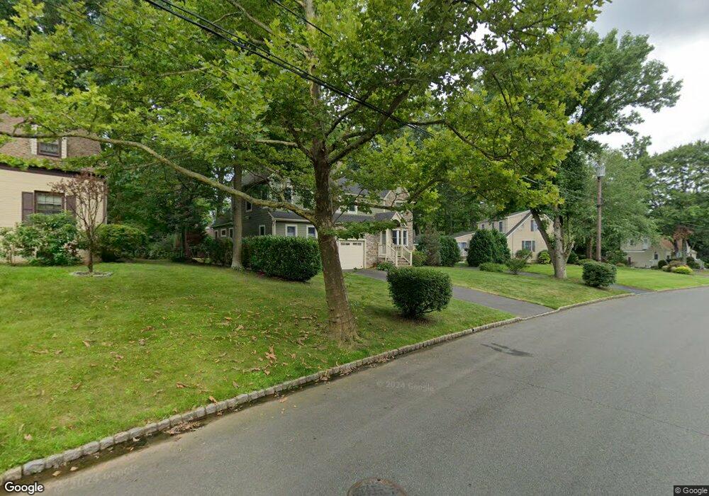
2028 Hill Top Rd Scotch Plains, NJ 07076
Estimated Value: $821,021 - $1,130,000
--
Bed
--
Bath
2,528
Sq Ft
$387/Sq Ft
Est. Value
About This Home
This home is located at 2028 Hill Top Rd, Scotch Plains, NJ 07076 and is currently estimated at $977,505, approximately $386 per square foot. 2028 Hill Top Rd is a home located in Union County with nearby schools including William J. McGinn Elementary School, Terrill Middle School, and Scotch Plains-Fanwood High School.
Ownership History
Date
Name
Owned For
Owner Type
Purchase Details
Closed on
Sep 10, 2002
Sold by
Chamberlin Earl
Bought by
Carberry Michael and Carberry Debra Sukoff
Current Estimated Value
Home Financials for this Owner
Home Financials are based on the most recent Mortgage that was taken out on this home.
Original Mortgage
$312,000
Outstanding Balance
$129,762
Interest Rate
6.18%
Estimated Equity
$847,743
Create a Home Valuation Report for This Property
The Home Valuation Report is an in-depth analysis detailing your home's value as well as a comparison with similar homes in the area
Home Values in the Area
Average Home Value in this Area
Purchase History
| Date | Buyer | Sale Price | Title Company |
|---|---|---|---|
| Carberry Michael | $390,000 | -- |
Source: Public Records
Mortgage History
| Date | Status | Borrower | Loan Amount |
|---|---|---|---|
| Open | Carberry Michael | $312,000 |
Source: Public Records
Tax History Compared to Growth
Tax History
| Year | Tax Paid | Tax Assessment Tax Assessment Total Assessment is a certain percentage of the fair market value that is determined by local assessors to be the total taxable value of land and additions on the property. | Land | Improvement |
|---|---|---|---|---|
| 2025 | $16,275 | $138,300 | $40,500 | $97,800 |
| 2024 | $15,795 | $138,300 | $40,500 | $97,800 |
| 2023 | $15,795 | $138,300 | $40,500 | $97,800 |
| 2022 | $15,607 | $138,300 | $40,500 | $97,800 |
| 2021 | $15,581 | $138,300 | $40,500 | $97,800 |
| 2020 | $15,506 | $138,300 | $40,500 | $97,800 |
| 2019 | $15,391 | $138,300 | $40,500 | $97,800 |
| 2018 | $15,133 | $138,300 | $40,500 | $97,800 |
| 2017 | $14,797 | $138,300 | $40,500 | $97,800 |
| 2016 | $14,512 | $138,300 | $40,500 | $97,800 |
| 2015 | $14,274 | $138,300 | $40,500 | $97,800 |
| 2014 | $13,804 | $138,300 | $40,500 | $97,800 |
Source: Public Records
Map
Nearby Homes
- 1933 Mary Ellen Ln
- 2116 Newark Ave
- 1933 W Broad St
- 2154 W Broad St
- 2 Brookside Ct
- 119 Lamberts Mill Rd
- 2212 Shady Ln
- 187 King St
- 5 Robin Rd
- 120 S Martine Ave
- 345 La Grande Ave
- 1466 Lamberts Mill Rd
- 2219 North Ave Unit 6
- 2314 Longfellow Ave
- 314 Highgate Ave
- 21 Old South Ave
- 40 1st St
- 57 Rambling Dr
- 36 2nd St
- 32 Gere Place
- 2034 Hill Top Rd
- 2022 Hill Top Rd
- 1257 White Oak Rd
- 2025 Hill Top Rd
- 1234 Maple Hill Rd
- 2041 Hill Top Rd
- 2010 Hill Top Rd
- 1264 Maple Hill Rd
- 1246 White Oak Rd
- 1254 White Oak Rd
- 1263 White Oak Rd
- 1262 White Oak Rd
- 1240 White Oak Rd
- 1208 Maple Hill Rd
- 2019 Hill Top Rd
- 1248 Maple Hill Rd
- 1202 Maple Hill Rd
- 2008 Hill Top Rd
- 1270 White Oak Rd
- 2053 Hill Top Rd