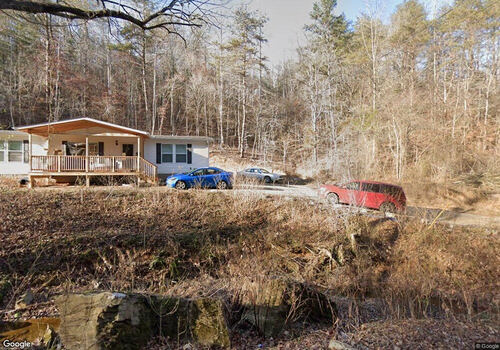
2028 Long Branch Rd Sevierville, TN 37876
Estimated Value: $374,000
--
Bed
--
Bath
2,160
Sq Ft
$173/Sq Ft
Est. Value
About This Home
This home is located at 2028 Long Branch Rd, Sevierville, TN 37876 and is currently estimated at $374,000, approximately $173 per square foot. 2028 Long Branch Rd is a home with nearby schools including Northview Elementary School, Catons Chapel Elementary School, and Jones Cove Elementary School.
Ownership History
Date
Name
Owned For
Owner Type
Purchase Details
Closed on
Dec 22, 2021
Sold by
Clark Ricky L and Clark Jane M
Bought by
Sladick Genevieve and Sladick Tara
Current Estimated Value
Purchase Details
Closed on
Feb 7, 1995
Sold by
Jai Noureddine M
Bought by
Clark Ricky L
Purchase Details
Closed on
Aug 11, 1993
Bought by
Jai Noureddine M
Create a Home Valuation Report for This Property
The Home Valuation Report is an in-depth analysis detailing your home's value as well as a comparison with similar homes in the area
Home Values in the Area
Average Home Value in this Area
Purchase History
| Date | Buyer | Sale Price | Title Company |
|---|---|---|---|
| Sladick Genevieve | $70,000 | New Title Company Name | |
| Sladick Genevieve | $70,000 | New Title Company Name | |
| Clark Ricky L | $29,500 | -- | |
| Jai Noureddine M | $26,500 | -- |
Source: Public Records
Tax History Compared to Growth
Tax History
| Year | Tax Paid | Tax Assessment Tax Assessment Total Assessment is a certain percentage of the fair market value that is determined by local assessors to be the total taxable value of land and additions on the property. | Land | Improvement |
|---|---|---|---|---|
| 2025 | $177 | $64,250 | $11,625 | $52,625 |
| 2024 | $177 | $64,250 | $11,625 | $52,625 |
| 2023 | $177 | $64,250 | $0 | $0 |
| 2022 | $177 | $11,975 | $11,625 | $350 |
| 2021 | $177 | $11,975 | $11,625 | $350 |
| 2020 | $232 | $11,975 | $11,625 | $350 |
| 2019 | $232 | $12,450 | $12,000 | $450 |
| 2018 | $232 | $12,450 | $12,000 | $450 |
| 2017 | $232 | $12,450 | $12,000 | $450 |
| 2016 | $232 | $12,450 | $12,000 | $450 |
| 2015 | -- | $12,300 | $0 | $0 |
| 2014 | $200 | $12,297 | $0 | $0 |
Source: Public Records
Map
Nearby Homes
- 2345 Paradise Way
- 0 George Harrison Way
- 420 Winding Ridge Tr
- 1003 Woullard Way Unit 1
- 4.38 ac N Shiloh Rd
- 1042 Stones Throw Ln
- 873 Indian Gap Rd
- 1710 Prey Ct
- 1116 Gregory Valley Dr
- Lot 1 Indian Gap Rd
- 1207 Beaumont Ave
- 2101 Wingspan Dr
- 1283 Lori Ellen Ct
- 1283 Lori Ellen Ct Unit 21
- 2034 Eagle Feather Dr
- 2105 Wingspan Dr
- 1246 Lori Ellen Ct
- 2028 Eagle Feather Dr
- 2033 Eagle Feather Dr
- 514 Indian Gap Rd
- 2016 Long Branch Rd
- 2010 Longbranch Rd
- 2022 Longbranch Rd
- 2112 Longbranch Rd
- 1940 Long Branch Rd Unit Tract 3
- 1940 Long Branch Rd
- 2105 Longbranch Rd
- 1929 Long Branch Rd
- 1930 Long Branch Rd
- 0 Long Branch Rd Unit 244608
- 0 Long Branch Rd Unit 244386
- 0 Long Branch Rd
- 5R Long Branch Rd
- 1925 Longbranch Rd
- 2132 Longbranch Rd
- 2139 Longbranch Rd
- 1902 Longbranch Rd
- 965 Damascus Way
- 1739 Longbranch Rd
- 2150 Longbranch Rd
