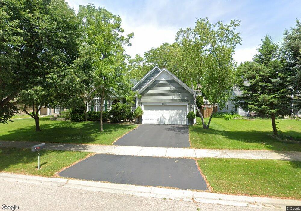
2028 Pointe Blvd Aurora, IL 60504
South Farnsworth NeighborhoodEstimated Value: $337,933 - $395,000
3
Beds
2
Baths
1,410
Sq Ft
$253/Sq Ft
Est. Value
About This Home
This home is located at 2028 Pointe Blvd, Aurora, IL 60504 and is currently estimated at $357,233, approximately $253 per square foot. 2028 Pointe Blvd is a home located in Kane County with nearby schools including The Wheatlands Elementary School, Bednarcik Jr. High School, and Oswego East High School.
Ownership History
Date
Name
Owned For
Owner Type
Purchase Details
Closed on
Dec 10, 2014
Sold by
Andermann Mark
Bought by
Andermann Mark
Current Estimated Value
Purchase Details
Closed on
Mar 20, 1998
Sold by
Andermann Loraine K
Bought by
Andermann Loraine K and Lorraine K Andermann Declaration Of Tr
Purchase Details
Closed on
Nov 14, 1997
Sold by
Beykirch Christopher L and Meiners Debra L
Bought by
Andermann Loraine K
Create a Home Valuation Report for This Property
The Home Valuation Report is an in-depth analysis detailing your home's value as well as a comparison with similar homes in the area
Home Values in the Area
Average Home Value in this Area
Purchase History
| Date | Buyer | Sale Price | Title Company |
|---|---|---|---|
| Andermann Mark | $170,000 | None Available | |
| Andermann Loraine K | -- | -- | |
| Andermann Loraine K | $154,000 | Law Title Insurance Co Inc |
Source: Public Records
Tax History Compared to Growth
Tax History
| Year | Tax Paid | Tax Assessment Tax Assessment Total Assessment is a certain percentage of the fair market value that is determined by local assessors to be the total taxable value of land and additions on the property. | Land | Improvement |
|---|---|---|---|---|
| 2024 | $7,556 | $102,609 | $21,211 | $81,398 |
| 2023 | $7,147 | $91,681 | $18,952 | $72,729 |
| 2022 | $7,208 | $83,651 | $17,292 | $66,359 |
| 2021 | $6,834 | $77,880 | $16,099 | $61,781 |
| 2020 | $5,778 | $72,339 | $14,954 | $57,385 |
| 2019 | $6,374 | $72,848 | $13,855 | $58,993 |
| 2018 | $6,353 | $70,520 | $12,816 | $57,704 |
| 2017 | $7,085 | $68,940 | $11,809 | $57,131 |
| 2016 | $6,440 | $62,191 | $10,123 | $52,068 |
| 2015 | -- | $55,901 | $8,705 | $47,196 |
| 2014 | -- | $52,300 | $8,372 | $43,928 |
| 2013 | -- | $51,555 | $8,253 | $43,302 |
Source: Public Records
Map
Nearby Homes
- 1629 Silver Springs Ct
- 1875 Keating Dr
- 1871 Keating Dr
- 1855 Keating Dr
- Bellamy Plan at Wheatland Crossing
- Henley Plan at Wheatland Crossing
- Ashton Plan at Wheatland Crossing
- Coventry Plan at Wheatland Crossing
- 1870 Canyon Creek Dr
- 1830 Canyon Creek Dr
- 1880 Canyon Creek Dr
- 1776 Stable Ln
- 1764 Stable Ln
- 1751 Baler Ave
- 1757 Baler Ave
- 1966 Congrove Dr
- 1745 Baler Ave
- 1739 Baler Ave
- 1622 Captiva Dr
- 2047 James Leigh Dr
- 2046 Pointe Blvd
- 2101 Edinburgh Ln
- 2111 Edinburgh Ln
- 2064 Pointe Blvd
- 1992 Pointe Blvd
- 2091 Edinburgh Ln
- 2121 Edinburgh Ln
- 2045 Pointe Blvd
- 2063 Pointe Blvd
- 2027 Pointe Blvd
- 2082 Pointe Blvd
- 1974 Pointe Blvd
- 2009 Pointe Blvd
- 2131 Edinburgh Ln
- 2081 Edinburgh Ln
- 1652 Blackwell Ln
- 1991 Pointe Blvd
- 1956 Pointe Blvd
- 1659 Blackwell Ln
- 1657 Blackwell Ln