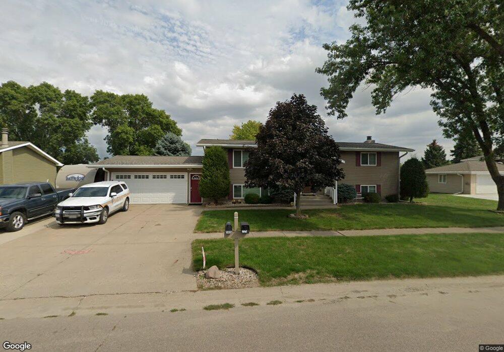
2028 Roundtable Rd Sergeant Bluff, IA 51054
Estimated Value: $301,400 - $340,000
5
Beds
4
Baths
1,200
Sq Ft
$269/Sq Ft
Est. Value
About This Home
This home is located at 2028 Roundtable Rd, Sergeant Bluff, IA 51054 and is currently estimated at $323,350, approximately $269 per square foot. 2028 Roundtable Rd is a home located in Woodbury County with nearby schools including Sergeant Bluff-Luton Primary School, Sergeant Bluff-Luton Elementary School, and Sergeant Bluff-Luton Middle School.
Ownership History
Date
Name
Owned For
Owner Type
Purchase Details
Closed on
Aug 15, 2005
Sold by
Wells Fargo Bank Na
Bought by
Lukken Gerad and Lukken Laura
Current Estimated Value
Home Financials for this Owner
Home Financials are based on the most recent Mortgage that was taken out on this home.
Original Mortgage
$111,000
Outstanding Balance
$58,422
Interest Rate
5.69%
Mortgage Type
New Conventional
Estimated Equity
$264,928
Purchase Details
Closed on
May 3, 2005
Sold by
Sieberge Geroge F and Sieberge Goerge F
Bought by
Wells Fargo Home Mortgage Inc
Create a Home Valuation Report for This Property
The Home Valuation Report is an in-depth analysis detailing your home's value as well as a comparison with similar homes in the area
Home Values in the Area
Average Home Value in this Area
Purchase History
| Date | Buyer | Sale Price | Title Company |
|---|---|---|---|
| Lukken Gerad | $111,000 | None Available | |
| Wells Fargo Home Mortgage Inc | $135,016 | None Available |
Source: Public Records
Mortgage History
| Date | Status | Borrower | Loan Amount |
|---|---|---|---|
| Open | Lukken Gerad | $111,000 |
Source: Public Records
Tax History
| Year | Tax Paid | Tax Assessment Tax Assessment Total Assessment is a certain percentage of the fair market value that is determined by local assessors to be the total taxable value of land and additions on the property. | Land | Improvement |
|---|---|---|---|---|
| 2025 | $3,824 | $275,860 | $26,950 | $248,910 |
| 2024 | $37 | $258,120 | $23,320 | $234,800 |
| 2023 | $3,366 | $258,120 | $23,320 | $234,800 |
| 2022 | $3,336 | $200,480 | $23,320 | $177,160 |
| 2021 | $3,336 | $200,480 | $23,320 | $177,160 |
| 2020 | $3,124 | $184,770 | $24,950 | $159,820 |
| 2019 | $3,044 | $184,770 | $24,950 | $159,820 |
| 2018 | $2,966 | $177,490 | $24,950 | $152,540 |
| 2017 | $2,966 | $177,490 | $24,950 | $152,540 |
| 2016 | $3,278 | $177,490 | $0 | $0 |
| 2015 | $3,179 | $165,880 | $23,320 | $142,560 |
| 2014 | $2,999 | $159,100 | $23,320 | $135,780 |
Source: Public Records
Map
Nearby Homes
- 2026 Roundtable Rd
- 2030 Roundtable Rd
- 2029 Roundtable Rd
- 2032 Roundtable Rd
- 2024 Roundtable Rd
- 2411 Carlisle Rd
- 2521 Canterbury Rd
- 2516 Canterbury Rd
- 2409 Carlisle Rd
- 2022 Roundtable Rd
- 2519 Canterbury Rd
- 2034 Roundtable Rd
- 2021 Roundtable Rd
- 2514 Canterbury Rd
- 2517 Canterbury Rd
- 2020 Roundtable Rd
- 2036 Roundtable Rd
- 2035 Roundtable Rd
- 2404 Carlisle Rd
- 2019 Roundtable Rd
Your Personal Tour Guide
Ask me questions while you tour the home.