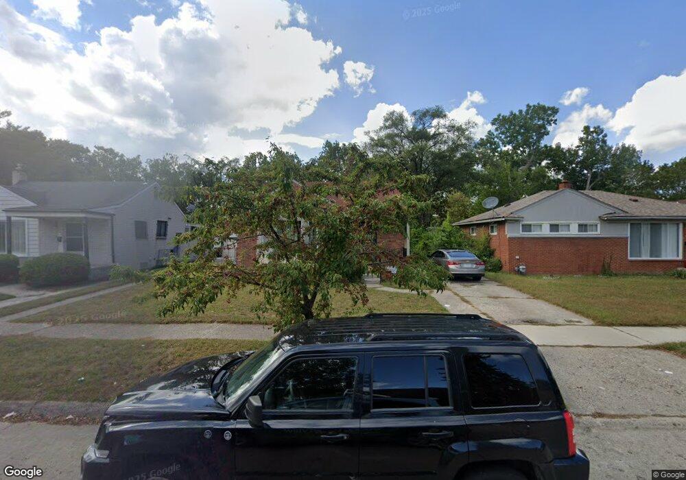
20281 Stout St Detroit, MI 48219
Evergreen Lahser NeighborhoodEstimated Value: $104,000 - $183,000
--
Bed
1
Bath
1,103
Sq Ft
$140/Sq Ft
Est. Value
About This Home
This home is located at 20281 Stout St, Detroit, MI 48219 and is currently estimated at $154,848, approximately $140 per square foot. 20281 Stout St is a home located in Wayne County with nearby schools including Ralph W. Emerson Elementary-Middle School, Charles L. Spain Elementary-Middle School, and Edward 'Duke' Ellington Conservatory of Music and Art.
Ownership History
Date
Name
Owned For
Owner Type
Purchase Details
Closed on
May 2, 2023
Sold by
Match Property Llc
Bought by
Williams Tiffany
Current Estimated Value
Home Financials for this Owner
Home Financials are based on the most recent Mortgage that was taken out on this home.
Original Mortgage
$150,228
Outstanding Balance
$146,208
Interest Rate
6.6%
Mortgage Type
FHA
Estimated Equity
$8,640
Purchase Details
Closed on
Apr 22, 2022
Sold by
Betts Leroy
Bought by
Match Property Llc
Create a Home Valuation Report for This Property
The Home Valuation Report is an in-depth analysis detailing your home's value as well as a comparison with similar homes in the area
Home Values in the Area
Average Home Value in this Area
Purchase History
| Date | Buyer | Sale Price | Title Company |
|---|---|---|---|
| Williams Tiffany | $153,000 | None Listed On Document | |
| Match Property Llc | $62,000 | Title One |
Source: Public Records
Mortgage History
| Date | Status | Borrower | Loan Amount |
|---|---|---|---|
| Open | Williams Tiffany | $150,228 |
Source: Public Records
Tax History Compared to Growth
Tax History
| Year | Tax Paid | Tax Assessment Tax Assessment Total Assessment is a certain percentage of the fair market value that is determined by local assessors to be the total taxable value of land and additions on the property. | Land | Improvement |
|---|---|---|---|---|
| 2025 | $41 | $2,200 | $0 | $0 |
| 2024 | $41 | $50,000 | $0 | $0 |
| 2023 | $3,273 | $39,400 | $0 | $0 |
| 2022 | $1,781 | $31,800 | $0 | $0 |
| 2021 | $1,730 | $25,400 | $0 | $0 |
| 2020 | $1,729 | $22,800 | $0 | $0 |
| 2019 | $1,702 | $18,300 | $0 | $0 |
| 2018 | $1,482 | $16,300 | $0 | $0 |
| 2017 | $300 | $15,800 | $0 | $0 |
| 2016 | $1,815 | $20,800 | $0 | $0 |
| 2015 | $2,080 | $20,800 | $0 | $0 |
| 2013 | $2,605 | $26,050 | $0 | $0 |
| 2010 | -- | $38,193 | $1,350 | $36,843 |
Source: Public Records
Map
Nearby Homes
- 20232 Braile St
- 20120 Braile St
- 20500 Braile St
- 20566 Patton St
- 20240 Burt Rd
- 20511 Pierson St
- 20061 Pierson St
- 20041 Heyden St
- 19925 Patton St
- 19924 Braile St
- 20523 Burt Rd
- 19931 Braile St
- 20553 Vaughan St
- 19947 Heyden St
- 20711 Westhaven Ave
- 20568 Trinity St
- 20569 Evergreen Rd
- 20705 Westhampton Ave
- 20834 Pembroke Ave
- 20550 Blackstone Ct
- 20280 Patton St
- 20290 Patton St
- 20270 Patton St
- 20270 Patton St
- 20291 Stout St
- 20271 Stout St
- 20300 Patton St
- 20260 Patton St
- 20301 Stout St
- 20301 Stout St
- 20261 Stout St
- 20251 Stout St
- 20310 Patton St
- 20311 Stout St
- 20250 Patton St
- 20240 Patton St
- 20241 Stout St
- 20283 Patton St
- 20500 Patton St
- 20230 Patton St