20288 495th St Centerville, IA 52544
3
Beds
1
Bath
1,440
Sq Ft
823,284
Sq Ft Lot
About This Home
This home is located at 20288 495th St, Centerville, IA 52544. 20288 495th St is a home located in Appanoose County with nearby schools including Centerville High School and Heritage Christian School.
Create a Home Valuation Report for This Property
The Home Valuation Report is an in-depth analysis detailing your home's value as well as a comparison with similar homes in the area
Tax History
| Year | Tax Paid | Tax Assessment Tax Assessment Total Assessment is a certain percentage of the fair market value that is determined by local assessors to be the total taxable value of land and additions on the property. | Land | Improvement |
|---|---|---|---|---|
| 2025 | $444 | $29,860 | $29,860 | $0 |
| 2024 | $444 | $22,250 | $22,250 | $0 |
| 2023 | $438 | $22,250 | $22,250 | $0 |
| 2022 | $420 | $17,170 | $17,170 | $0 |
| 2021 | $420 | $18,330 | $18,330 | $0 |
| 2020 | $468 | $19,030 | $19,030 | $0 |
| 2019 | $322 | $18,730 | $0 | $0 |
| 2018 | $316 | $18,730 | $0 | $0 |
| 2017 | $26,800 | $18,430 | $0 | $0 |
Source: Public Records
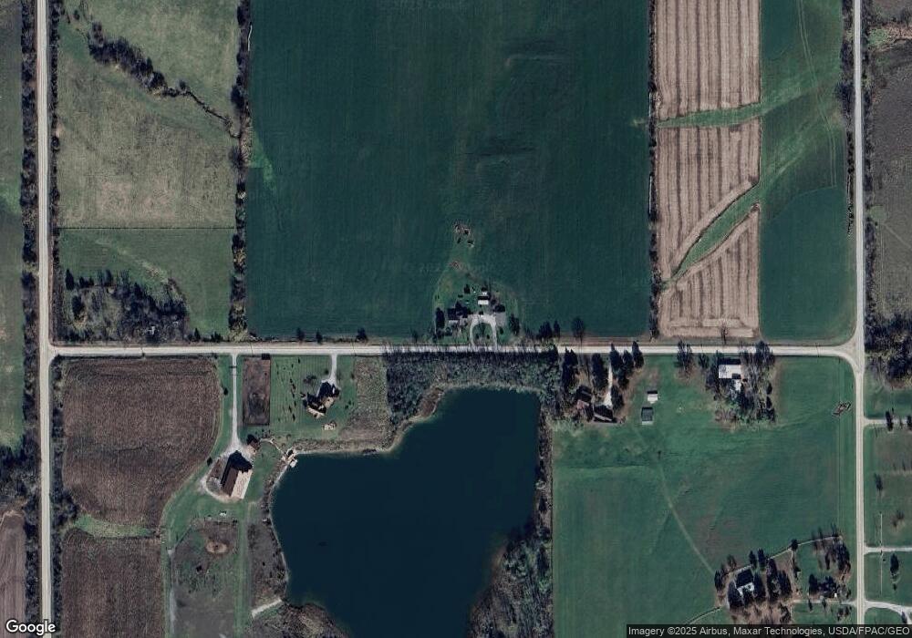
Map
Nearby Homes
- 2068 Golfview Cir
- 0 205th Ave
- 18664 490th St
- 1100 N Park Ave
- 1227 W Washington St
- 627 N 7th St
- 718 W Madison St
- 1006 N 14th St
- 715 N 11th St
- 1010 W Washington St
- 512 N 6th St
- 610 N Park Ave
- 17407 200th Ave
- 516 N 8th St
- 811 E Van Buren St
- 531 N Park Ave
- 611 N Main St
- 307 E Orchard St
- 309 W Washington St
- 403 W Van Buren St
- 20359 495th St
- 0 495th St Unit 20170903
- 0 495th St Unit 5421152
- 20187 495th St
- 20457 495th St
- 20078 495th St
- 19370 205th Ave
- 19436 205th Ave
- 19472 205th Ave
- 19081 205th Ave
- 19542 205th Ave
- 19561 205th Ave
- 19618 205th Ave
- 2007 200th Ave
- 20502 490th St
- 0 200th Ave Unit 27014960
- 0 200th Ave Unit 27017182
- 0 200th Ave Unit 5573482
- 0 200th Ave Unit 5424403
- 0 200th Ave Unit 5424580
Your Personal Tour Guide
Ask me questions while you tour the home.