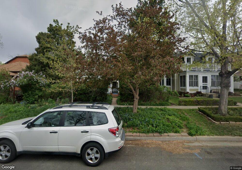
2029 Bluff St Boulder, CO 80304
Central Boulder NeighborhoodEstimated Value: $903,096 - $1,233,000
2
Beds
1
Bath
960
Sq Ft
$1,113/Sq Ft
Est. Value
About This Home
This home is located at 2029 Bluff St, Boulder, CO 80304 and is currently estimated at $1,068,274, approximately $1,112 per square foot. 2029 Bluff St is a home located in Boulder County with nearby schools including Whittier Elementary School, Casey Middle School, and Boulder High School.
Ownership History
Date
Name
Owned For
Owner Type
Purchase Details
Closed on
Aug 2, 1990
Bought by
Komlos-Hrobsky Peter and Komlos-Hrobsky Elisabeth
Current Estimated Value
Purchase Details
Closed on
Feb 27, 1986
Bought by
Komlos-Hrobsky Peter and Komlos-Hrobsky Elisabeth
Purchase Details
Closed on
Aug 26, 1985
Bought by
Komlos-Hrobsky Peter and Komlos-Hrobsky Elisabeth
Create a Home Valuation Report for This Property
The Home Valuation Report is an in-depth analysis detailing your home's value as well as a comparison with similar homes in the area
Home Values in the Area
Average Home Value in this Area
Purchase History
| Date | Buyer | Sale Price | Title Company |
|---|---|---|---|
| Komlos-Hrobsky Peter | $103,000 | -- | |
| Komlos-Hrobsky Peter | $100,000 | -- | |
| Komlos-Hrobsky Peter | -- | -- | |
| Komlos-Hrobsky Peter | $95,000 | -- |
Source: Public Records
Tax History
| Year | Tax Paid | Tax Assessment Tax Assessment Total Assessment is a certain percentage of the fair market value that is determined by local assessors to be the total taxable value of land and additions on the property. | Land | Improvement |
|---|---|---|---|---|
| 2025 | $5,228 | $63,806 | $50,281 | $13,525 |
| 2024 | $5,228 | $63,806 | $50,281 | $13,525 |
| 2023 | $5,137 | $66,189 | $52,950 | $16,924 |
| 2022 | $4,203 | $52,209 | $41,325 | $10,884 |
| 2021 | $4,008 | $53,711 | $42,514 | $11,197 |
| 2020 | $3,315 | $45,231 | $36,465 | $8,766 |
| 2019 | $3,264 | $45,231 | $36,465 | $8,766 |
| 2018 | $2,653 | $37,800 | $28,008 | $9,792 |
| 2017 | $2,570 | $50,944 | $30,964 | $19,980 |
| 2016 | $2,274 | $34,228 | $24,437 | $9,791 |
| 2015 | $2,153 | $28,258 | $23,880 | $4,378 |
| 2014 | $2,376 | $28,258 | $23,880 | $4,378 |
Source: Public Records
Map
Nearby Homes
- 2324 19th St
- 2230 20th St
- 2003 Balsam Dr
- 2240 Bluff St
- 1895 Alpine Ave Unit G22
- 1895 Alpine Ave Unit G21
- 1895 Alpine Ave Unit E18
- 2085 Balsam Dr
- 1730 Bluff St
- 1749 Alpine Ave Unit 10
- 2340 Panorama Ave
- 1938 Spruce St
- 2236 17th St
- 2870 18th St
- 1709 Pine St Unit 3
- 2201 Pearl St Unit 224
- 2336 Spruce St Unit E
- 1526 Sunset Blvd
- 2901 Lorraine Ct
- 2515 Bluff St
Your Personal Tour Guide
Ask me questions while you tour the home.