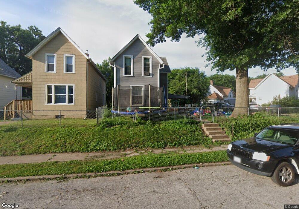
2029 Claussen St Davenport, IA 52802
West End NeighborhoodEstimated Value: $92,000 - $122,000
2
Beds
2
Baths
1,304
Sq Ft
$77/Sq Ft
Est. Value
About This Home
This home is located at 2029 Claussen St, Davenport, IA 52802 and is currently estimated at $100,628, approximately $77 per square foot. 2029 Claussen St is a home located in Scott County with nearby schools including Walnut Hill Elementary School, South Christian Elementary School, and Caverna Middle School.
Ownership History
Date
Name
Owned For
Owner Type
Purchase Details
Closed on
Oct 1, 2015
Sold by
Powell Hollis and Powell Velva L
Bought by
Powell Richard K and Powell Tammy L
Current Estimated Value
Purchase Details
Closed on
Jan 29, 2010
Sold by
Gulder Betty J
Bought by
Powell Hollis and Powell Velva L
Create a Home Valuation Report for This Property
The Home Valuation Report is an in-depth analysis detailing your home's value as well as a comparison with similar homes in the area
Home Values in the Area
Average Home Value in this Area
Purchase History
| Date | Buyer | Sale Price | Title Company |
|---|---|---|---|
| Powell Richard K | $40,500 | Attorney | |
| Powell Hollis | $43,000 | None Available |
Source: Public Records
Tax History Compared to Growth
Tax History
| Year | Tax Paid | Tax Assessment Tax Assessment Total Assessment is a certain percentage of the fair market value that is determined by local assessors to be the total taxable value of land and additions on the property. | Land | Improvement |
|---|---|---|---|---|
| 2025 | $1,050 | $83,770 | $9,840 | $73,930 |
| 2024 | $1,591 | $68,980 | $9,840 | $59,140 |
| 2023 | $1,094 | $68,980 | $9,840 | $59,140 |
| 2022 | $1,098 | $60,100 | $9,840 | $50,260 |
| 2021 | $1,098 | $60,100 | $9,840 | $50,260 |
| 2020 | $1,010 | $55,310 | $9,840 | $45,470 |
| 2019 | $942 | $50,520 | $9,840 | $40,680 |
| 2018 | $866 | $50,520 | $9,840 | $40,680 |
| 2017 | $268 | $48,130 | $9,840 | $38,290 |
| 2016 | $1,720 | $48,130 | $0 | $0 |
| 2015 | $864 | $49,870 | $0 | $0 |
| 2014 | $914 | $49,870 | $0 | $0 |
| 2013 | $1,088 | $0 | $0 | $0 |
| 2012 | -- | $48,050 | $7,790 | $40,260 |
Source: Public Records
Map
Nearby Homes
- 2006 Claussen St
- 2014 Claussen St
- 2008 Dixwell St
- 2010 W 1st St
- 117 S Pine St
- 2011 W 2nd St
- 211 Cedar St
- 120 N Pine St
- 321 Cedar St
- 131 S Lincoln Ave
- 223 S Lincoln Ave
- 1815 W 3rd St
- 2312 W 1st St
- 2312 1/2 W 1st St
- 2101 W 5th St
- 2243 W 4th St
- 1636 W 3rd St
- 2024 W 6th St
- 1614 W 3rd St
- 2502 Rockingham Rd
- 2025 Claussen St
- 211 S Pine St
- 2021 Claussen St
- 215 S Pine St
- 219 S Pine St
- 207 S Pine St
- 2015 Claussen St
- 2036 Claussen St
- 2030 Claussen St
- 225 S Pine St
- 2042 Claussen St
- 2022 Claussen St
- 2009 Claussen St
- 2018 Claussen St
- 2044 Claussen St
- 121 S Pine St
- 2003 Claussen St
- 233 S Pine St
- 2026 Dixwell St
- 2024 Dixwell St