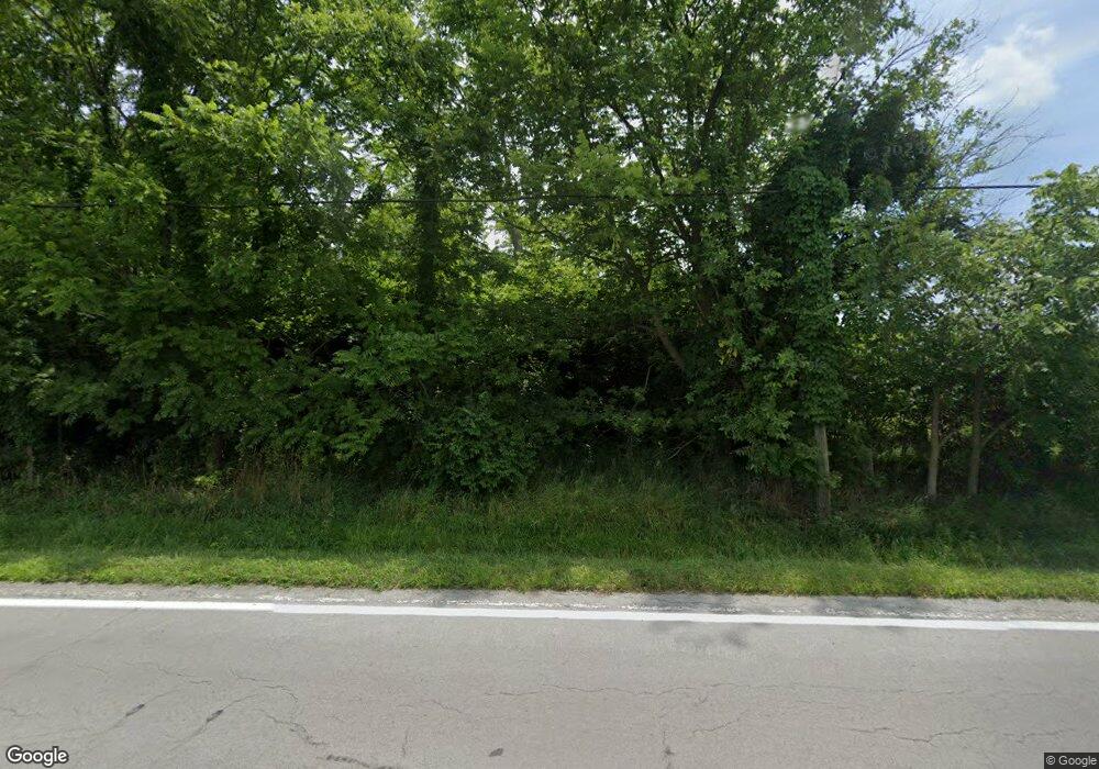
Estimated Value: $220,000 - $303,000
2
Beds
1
Bath
1,242
Sq Ft
$203/Sq Ft
Est. Value
About This Home
This home is located at 2029 Lower Bellbrook Rd, Xenia, OH 45385 and is currently estimated at $252,172, approximately $203 per square foot. 2029 Lower Bellbrook Rd is a home located in Greene County with nearby schools including Xenia High School and Summit Academy Community School for Alternative Learners - Xenia.
Ownership History
Date
Name
Owned For
Owner Type
Purchase Details
Closed on
Jun 20, 2017
Sold by
Barrett Nikole E and Barrett Anthony D
Bought by
Lockhart Danny L and Lockhart Lisa A
Current Estimated Value
Home Financials for this Owner
Home Financials are based on the most recent Mortgage that was taken out on this home.
Original Mortgage
$105,061
Outstanding Balance
$87,221
Interest Rate
3.95%
Mortgage Type
FHA
Estimated Equity
$164,951
Purchase Details
Closed on
Nov 20, 2013
Sold by
Green S Diana
Bought by
Barrett Nikole E and Barrett Anthony D
Create a Home Valuation Report for This Property
The Home Valuation Report is an in-depth analysis detailing your home's value as well as a comparison with similar homes in the area
Purchase History
| Date | Buyer | Sale Price | Title Company |
|---|---|---|---|
| Lockhart Danny L | $107,000 | None Available | |
| Barrett Nikole E | -- | None Available |
Source: Public Records
Mortgage History
| Date | Status | Borrower | Loan Amount |
|---|---|---|---|
| Open | Lockhart Danny L | $105,061 |
Source: Public Records
Tax History
| Year | Tax Paid | Tax Assessment Tax Assessment Total Assessment is a certain percentage of the fair market value that is determined by local assessors to be the total taxable value of land and additions on the property. | Land | Improvement |
|---|---|---|---|---|
| 2024 | $3,499 | $68,150 | $9,940 | $58,210 |
| 2023 | $3,471 | $68,150 | $9,940 | $58,210 |
| 2022 | $3,005 | $50,950 | $8,950 | $42,000 |
| 2021 | $3,041 | $50,950 | $8,950 | $42,000 |
| 2020 | $2,792 | $50,950 | $8,950 | $42,000 |
| 2019 | $2,474 | $42,320 | $7,070 | $35,250 |
| 2018 | $2,441 | $43,370 | $8,700 | $34,670 |
| 2017 | $850 | $43,370 | $8,700 | $34,670 |
| 2016 | $2,359 | $41,740 | $8,700 | $33,040 |
| 2015 | $9,172 | $41,740 | $8,700 | $33,040 |
| 2014 | $12,342 | $41,740 | $8,700 | $33,040 |
Source: Public Records
Map
Nearby Homes
- 2131 Simison Rd
- 2471 Lower Bellbrook Rd
- 2336 Washington Mill Rd
- 1753 Cedar Ridge Dr
- 2779 W End Ct
- 196 Mound St
- 244 Washington Mill Rd
- 1474 Hawkshead St
- Chatham Plan at Edenbridge
- Bellamy Plan at Edenbridge
- Holcombe Plan at Edenbridge
- Henley Plan at Edenbridge
- Newcastle Plan at Edenbridge
- 1272 Baybury Ave
- 1293 Baybury Ave
- 1256 Baybury Ave
- 1253 Baybury Ave
- 1282 Baybury Ave
- 1298 Baybury Ave
- 1304 Baybury Ave
- 2029 Lower Bellbrook Rd
- 2015 Lower Bellbrook Rd
- 1794 Simison Rd
- 1781 Simison Rd
- 2041 Lower Bellbrook Rd
- 2200 Spahr Rd
- 1987 Lower Bellbrook Rd
- 2079 Lower Bellbrook Rd
- 1803 Simison Rd
- 1817 Simison Rd
- 1969 Lower Bellbrook Rd
- 1960 Lower Bellbrook Rd
- 2197 Spahr Rd
- 2030 Lower Bellbrook Rd
- 2035 Lower Bellbrook Rd
- 1829 Simison Rd
- 1955 Lower Bellbrook Rd
- 1988 Lower Bellbrook Rd
- 2217 Spahr Rd
- 1941 Lower Bellbrook Rd
