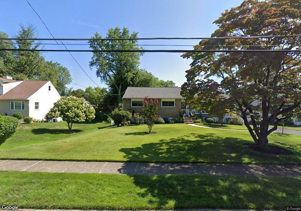
2029 S Park Way Broomall, PA 19008
Estimated Value: $465,000 - $546,000
3
Beds
3
Baths
1,550
Sq Ft
$326/Sq Ft
Est. Value
About This Home
This home is located at 2029 S Park Way, Broomall, PA 19008 and is currently estimated at $504,941, approximately $325 per square foot. 2029 S Park Way is a home located in Delaware County with nearby schools including Russell Elementary School, Paxon Hollow Middle School, and Marple Newtown Senior High School.
Ownership History
Date
Name
Owned For
Owner Type
Purchase Details
Closed on
Apr 18, 1997
Sold by
Asdourian Aram and Asdourian Albert Lauri
Bought by
Gall Allen W and Wood Cynthia L
Current Estimated Value
Home Financials for this Owner
Home Financials are based on the most recent Mortgage that was taken out on this home.
Original Mortgage
$162,900
Outstanding Balance
$20,841
Interest Rate
7.77%
Estimated Equity
$484,100
Purchase Details
Closed on
Sep 30, 1994
Sold by
Demarco Amelia M and Demarco Francis P
Bought by
Asdourian Aram and Asdourian Albert Lauri
Home Financials for this Owner
Home Financials are based on the most recent Mortgage that was taken out on this home.
Original Mortgage
$175,750
Interest Rate
8.55%
Create a Home Valuation Report for This Property
The Home Valuation Report is an in-depth analysis detailing your home's value as well as a comparison with similar homes in the area
Home Values in the Area
Average Home Value in this Area
Purchase History
| Date | Buyer | Sale Price | Title Company |
|---|---|---|---|
| Gall Allen W | $181,000 | Commonwealth Land Title Ins | |
| Asdourian Aram | $185,000 | Commonwealth Land Title Ins |
Source: Public Records
Mortgage History
| Date | Status | Borrower | Loan Amount |
|---|---|---|---|
| Open | Gall Allen W | $162,900 | |
| Previous Owner | Asdourian Aram | $175,750 |
Source: Public Records
Tax History Compared to Growth
Tax History
| Year | Tax Paid | Tax Assessment Tax Assessment Total Assessment is a certain percentage of the fair market value that is determined by local assessors to be the total taxable value of land and additions on the property. | Land | Improvement |
|---|---|---|---|---|
| 2025 | $5,317 | $307,680 | $112,620 | $195,060 |
| 2024 | $5,317 | $307,680 | $112,620 | $195,060 |
| 2023 | $5,148 | $307,680 | $112,620 | $195,060 |
| 2022 | $5,051 | $307,680 | $112,620 | $195,060 |
| 2021 | $7,623 | $307,680 | $112,620 | $195,060 |
| 2020 | $4,469 | $155,290 | $57,480 | $97,810 |
| 2019 | $4,415 | $155,290 | $57,480 | $97,810 |
| 2018 | $4,369 | $155,290 | $0 | $0 |
| 2017 | $4,371 | $155,290 | $0 | $0 |
| 2016 | $852 | $155,290 | $0 | $0 |
| 2015 | $852 | $155,290 | $0 | $0 |
| 2014 | $852 | $155,290 | $0 | $0 |
Source: Public Records
Map
Nearby Homes
- 2119 Boxwood Dr
- 228 S Pkwy
- Petersburg Plan at Cedar View
- Gilfillan Plan at Cedar View
- Balvenie Plan at Cedar View
- Bowmore Plan at Cedar View
- Clayton Plan at Cedar View
- 301 S New Ardmore Ave
- 310 Lewis Rd
- 306 Rock Run Cir
- 202 Rolling Rd
- 407 S Central Blvd
- 416 Warren Blvd
- 63 S Greenhill Rd
- 240 N Central Blvd
- 126 1st Ave
- 2606 Springfield Rd
- 516 Portland Dr
- 429 Portland Dr
- 132 S Sproul Rd
- 2027 S Park Way
- 2033 S Parkway
- 2033 S Park Way
- 487 Hilldale Rd
- 492 Concord Rd
- 2025 S Park Way
- 485 Hilldale Rd
- 2026 S Parkway
- 2026 S Park Way
- 488 Concord Rd
- 501 Hilldale Rd
- 2101 Parkway Cir
- 2024 S Park Way
- 486 Concord Rd
- 479 Hilldale Rd
- 486 Hilldale Rd
- 2021 S Park Way
- 511 Hilldale Rd
- 484 Hilldale Rd
- 484 Concord Rd