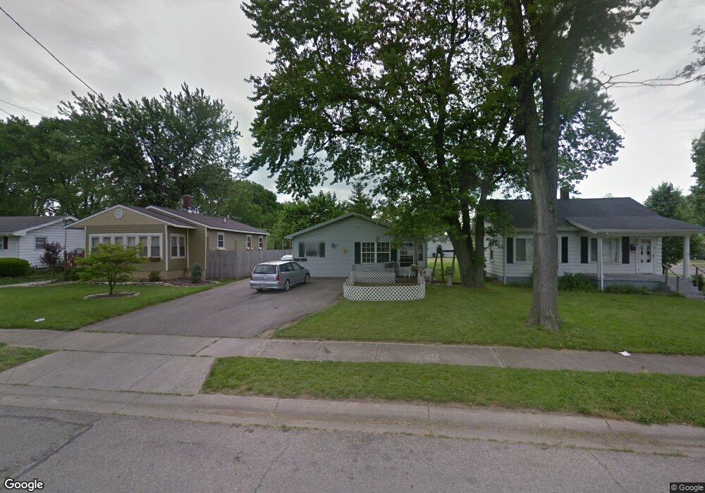
2029 Sheffield St Middletown, OH 45044
Mayfield NeighborhoodEstimated Value: $127,000 - $199,000
4
Beds
2
Baths
1,590
Sq Ft
$93/Sq Ft
Est. Value
About This Home
This home is located at 2029 Sheffield St, Middletown, OH 45044 and is currently estimated at $148,645, approximately $93 per square foot. 2029 Sheffield St is a home located in Butler County with nearby schools including Mayfield Elementary School, Highview 6th Grade Center, and Middletown Middle School.
Ownership History
Date
Name
Owned For
Owner Type
Purchase Details
Closed on
Dec 22, 2021
Sold by
White Charles J
Bought by
Thankarai Vijai A and Viiai Jeyakumari
Current Estimated Value
Purchase Details
Closed on
Jul 30, 1998
Sold by
Million Luster and Million Hazel C
Bought by
Smith John
Home Financials for this Owner
Home Financials are based on the most recent Mortgage that was taken out on this home.
Original Mortgage
$83,850
Interest Rate
7.03%
Mortgage Type
VA
Create a Home Valuation Report for This Property
The Home Valuation Report is an in-depth analysis detailing your home's value as well as a comparison with similar homes in the area
Home Values in the Area
Average Home Value in this Area
Purchase History
| Date | Buyer | Sale Price | Title Company |
|---|---|---|---|
| Thankarai Vijai A | $80,500 | Manney Doas Kochalski Llc | |
| Smith John | $82,250 | -- |
Source: Public Records
Mortgage History
| Date | Status | Borrower | Loan Amount |
|---|---|---|---|
| Previous Owner | Smith John | $83,850 |
Source: Public Records
Tax History Compared to Growth
Tax History
| Year | Tax Paid | Tax Assessment Tax Assessment Total Assessment is a certain percentage of the fair market value that is determined by local assessors to be the total taxable value of land and additions on the property. | Land | Improvement |
|---|---|---|---|---|
| 2024 | $1,050 | $28,170 | $3,160 | $25,010 |
| 2023 | $2,792 | $43,670 | $5,330 | $38,340 |
| 2022 | $1,623 | $32,880 | $5,330 | $27,550 |
| 2021 | $1,886 | $32,880 | $5,330 | $27,550 |
| 2020 | $1,965 | $32,880 | $5,330 | $27,550 |
| 2019 | $1,439 | $19,860 | $5,410 | $14,450 |
| 2018 | $1,286 | $19,860 | $5,410 | $14,450 |
| 2017 | $1,288 | $19,860 | $5,410 | $14,450 |
| 2016 | $1,110 | $16,380 | $5,410 | $10,970 |
| 2015 | $1,094 | $16,380 | $5,410 | $10,970 |
| 2014 | $1,565 | $16,380 | $5,410 | $10,970 |
| 2013 | $1,565 | $25,470 | $5,410 | $20,060 |
Source: Public Records
Map
Nearby Homes
- 1933 Sheffield St
- 2120 Fernwood St
- 2212 Fernwood St
- 2128 Lamberton St
- 2225 Sheffield St
- 1804 Fernwood St
- 2033 Jackson Ln
- 1728 Fernwood St
- 1901 Brentwood St
- 2010 Waynedale Ct
- 1808 Waynebrook Dr
- 1811 Waynebrook Dr
- 3218 Keays Ave
- 1605 Lamberton St
- 3002 Goldman Ave
- 1919 Greenfield Dr
- 3610 Roosevelt Blvd
- 1308 Orchard St
- 3220 Barbara Dr
- 1030 Jackson Ln
- 2033 Sheffield St
- 2025 Sheffield St
- 3241 Plymouth St
- 2023 Sheffield St
- 03 Sheffield St
- 2017 Sheffield St
- 2105 Sheffield St
- 3242 Plymouth St
- 2013 Sheffield St
- 2127 Sheffield St
- 3245 Plymouth St
- 2024 Sheffield St
- 3240 Plymouth St
- 2032 Sheffield St
- 2020 Sheffield St
- 2100 Sheffield St
- 2100 Sheffield St
- 2009 Sheffield St
- 2016 Sheffield St
- 2109 Sheffield St