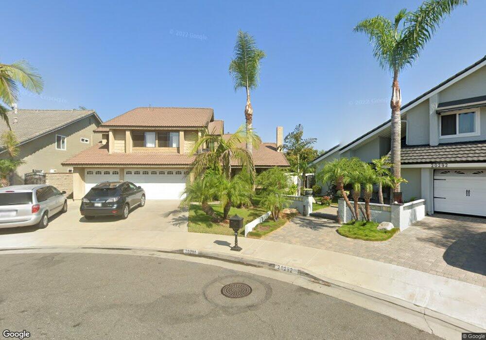
20291 Sea Cir Huntington Beach, CA 92646
Southeast NeighborhoodEstimated Value: $1,815,000 - $2,110,000
5
Beds
3
Baths
2,731
Sq Ft
$733/Sq Ft
Est. Value
About This Home
This home is located at 20291 Sea Cir, Huntington Beach, CA 92646 and is currently estimated at $2,002,053, approximately $733 per square foot. 20291 Sea Cir is a home located in Orange County with nearby schools including S.A. Moffett Elementary School, Isaac L. Sowers Middle School, and Edison High School.
Ownership History
Date
Name
Owned For
Owner Type
Purchase Details
Closed on
Oct 5, 2022
Sold by
Kim Jae Kun and Dong Hee
Bought by
Jae Kun And Dong Hee Kim Trust and Kim
Current Estimated Value
Purchase Details
Closed on
Feb 22, 2022
Sold by
Kim Richard C
Bought by
Kim Jae Kun and Kim Dong Hee
Purchase Details
Closed on
Jun 1, 1998
Sold by
Kim Richard C W and Kim Chang Wook
Bought by
Kim Richard C W
Home Financials for this Owner
Home Financials are based on the most recent Mortgage that was taken out on this home.
Original Mortgage
$142,000
Interest Rate
7.25%
Purchase Details
Closed on
Dec 26, 1997
Sold by
Hee Kim Dong and Kun Jae Kun
Bought by
Kim Chang Wook
Purchase Details
Closed on
Aug 20, 1997
Sold by
Kim Chang Wook
Bought by
Kim Jae Kun and Kim Dong Hee
Purchase Details
Closed on
Dec 16, 1996
Sold by
Hee Kim Dong
Bought by
Kim Chang Wook
Create a Home Valuation Report for This Property
The Home Valuation Report is an in-depth analysis detailing your home's value as well as a comparison with similar homes in the area
Home Values in the Area
Average Home Value in this Area
Purchase History
| Date | Buyer | Sale Price | Title Company |
|---|---|---|---|
| Jae Kun And Dong Hee Kim Trust | -- | None Listed On Document | |
| Kim Jae Kun | -- | None Listed On Document | |
| Kim Richard C W | -- | Landsafe Title | |
| Kim Chang Wook | -- | -- | |
| Kim Jae Kun | -- | -- | |
| Kim Chang Wook | -- | -- |
Source: Public Records
Mortgage History
| Date | Status | Borrower | Loan Amount |
|---|---|---|---|
| Previous Owner | Kim Richard C W | $142,000 |
Source: Public Records
Tax History Compared to Growth
Tax History
| Year | Tax Paid | Tax Assessment Tax Assessment Total Assessment is a certain percentage of the fair market value that is determined by local assessors to be the total taxable value of land and additions on the property. | Land | Improvement |
|---|---|---|---|---|
| 2025 | $19,606 | $1,777,523 | $1,545,804 | $231,719 |
| 2024 | $19,606 | $1,742,670 | $1,515,494 | $227,176 |
| 2023 | $19,174 | $1,708,500 | $1,485,778 | $222,722 |
| 2022 | $3,939 | $326,771 | $150,473 | $176,298 |
| 2021 | $3,867 | $320,364 | $147,522 | $172,842 |
| 2020 | $3,841 | $317,080 | $146,010 | $171,070 |
| 2019 | $3,798 | $310,863 | $143,147 | $167,716 |
| 2018 | $3,740 | $304,768 | $140,340 | $164,428 |
| 2017 | $3,691 | $298,793 | $137,589 | $161,204 |
| 2016 | $3,533 | $292,935 | $134,891 | $158,044 |
| 2015 | $3,498 | $288,535 | $132,864 | $155,671 |
| 2014 | $3,426 | $282,883 | $130,261 | $152,622 |
Source: Public Records
Map
Nearby Homes
- 20302 Tidepool Cir Unit 204
- 8182 Mainsail Dr Unit 203
- 20162 S New Britain Ln
- 20371 Bluffside Cir Unit B214
- 20251 Cape Coral Ln Unit 315
- 20401 Somerville Ln
- 20301 Bluffside Cir Unit D401
- 20301 Bluffside Cir Unit D312
- 20331 Bluffside Cir Unit A108
- 20331 Bluffside Cir Unit 303
- 20331 Bluffside Cir Unit 222
- 20331 Bluffside Cir Unit A320
- 20331 Bluffside Cir Unit 417
- 20251 Lighthouse Ln
- 1015 Georgia St
- 8565 Colusa Cir Unit 906C
- 632 Indianapolis Ave
- 609 Amber Dr
- 20131 Crown Reef Ln
- 1425 Alpine Ln
- 20301 Sea Cir
- 20292 Sea Cir
- 8272 Southport Dr
- 8262 Southport Dr
- 8282 Southport Dr
- 20302 Sea Cir
- 20311 Sea Cir
- 8292 Southport Dr
- 20325 Seabright Ln Unit 101
- 20305 Seabright Ln Unit 32/101
- 20312 Sea Cir
- 20321 Seabright Ln Unit 33102
- 20301 Seabright Ln
- 20321 Sea Cir
- 20331 Seabright Ln Unit 34/102
- 20301 Beam Cir
- 20335 Seabright Ln
- 20295 Seabright Ln
- 8302 Southport Dr
- 20291 Seabright Ln