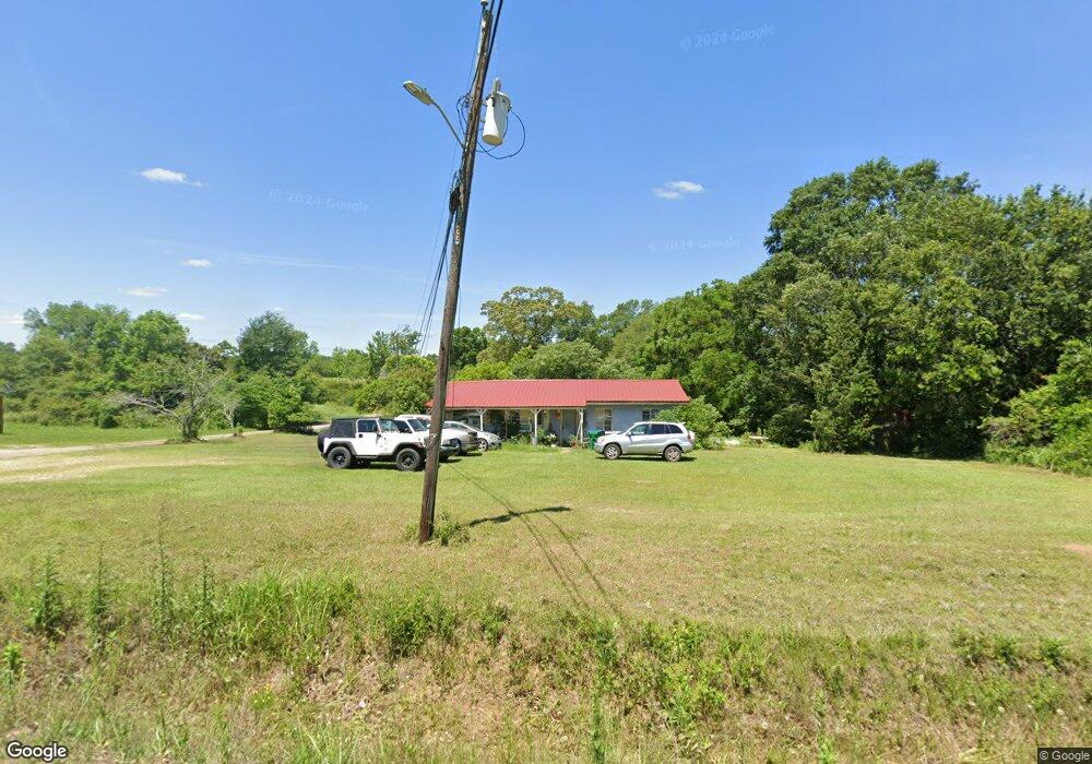
20295 Odom Rd Citronelle, AL 36522
Estimated Value: $58,015 - $154,000
--
Bed
1
Bath
1,056
Sq Ft
$103/Sq Ft
Est. Value
About This Home
This home is located at 20295 Odom Rd, Citronelle, AL 36522 and is currently estimated at $108,754, approximately $102 per square foot. 20295 Odom Rd is a home located in Mobile County with nearby schools including McDavid-Jones Elementary School, Lott Middle School, and Citronelle High School.
Ownership History
Date
Name
Owned For
Owner Type
Purchase Details
Closed on
May 18, 2010
Sold by
Allen John R and Allen Peggy S
Bought by
Taylor Patricia A and Taylor Philip M
Current Estimated Value
Home Financials for this Owner
Home Financials are based on the most recent Mortgage that was taken out on this home.
Original Mortgage
$24,700
Interest Rate
12%
Mortgage Type
Seller Take Back
Purchase Details
Closed on
May 2, 2000
Sold by
Allen John R and Allen Peggy S
Bought by
Jones John
Home Financials for this Owner
Home Financials are based on the most recent Mortgage that was taken out on this home.
Original Mortgage
$24,700
Interest Rate
12%
Mortgage Type
Seller Take Back
Create a Home Valuation Report for This Property
The Home Valuation Report is an in-depth analysis detailing your home's value as well as a comparison with similar homes in the area
Home Values in the Area
Average Home Value in this Area
Purchase History
| Date | Buyer | Sale Price | Title Company |
|---|---|---|---|
| Taylor Patricia A | $25,000 | None Available | |
| Jones John | $25,000 | -- |
Source: Public Records
Mortgage History
| Date | Status | Borrower | Loan Amount |
|---|---|---|---|
| Previous Owner | Taylor Patricia A | $24,700 | |
| Previous Owner | Jones John | $24,700 |
Source: Public Records
Tax History Compared to Growth
Tax History
| Year | Tax Paid | Tax Assessment Tax Assessment Total Assessment is a certain percentage of the fair market value that is determined by local assessors to be the total taxable value of land and additions on the property. | Land | Improvement |
|---|---|---|---|---|
| 2024 | $135 | $3,640 | $750 | $2,890 |
| 2023 | $135 | $3,720 | $1,010 | $2,710 |
| 2022 | $137 | $3,690 | $980 | $2,710 |
| 2021 | $141 | $3,780 | $1,070 | $2,710 |
| 2020 | $148 | $3,920 | $1,070 | $2,850 |
| 2019 | $130 | $3,560 | $0 | $0 |
| 2018 | $130 | $3,560 | $0 | $0 |
| 2017 | $130 | $3,560 | $0 | $0 |
| 2016 | $133 | $3,620 | $0 | $0 |
| 2013 | $141 | $3,720 | $0 | $0 |
Source: Public Records
Map
Nearby Homes
- 0 Road St Unit 7531981
- 20115 N 3rd St
- 20725 Odom Rd
- 19850 N 5th St
- 19747 N 4th St
- 8350 Grove Park
- 19665 N 4th St
- 19630 Road St
- 8005 Alabama St
- 19645 N 5th St
- 20190 Lonnie Walker Rd
- 8800 W Williams St
- 19370 Magnolia Ave
- 7940 Lebaron Ave Unit 9
- 7940 Lebaron Ave E
- 18280 S 6th St
- 19305 1st St
- 0 Reed Rd
- 8520 W Lebaron Ave
- 19250 Oak St