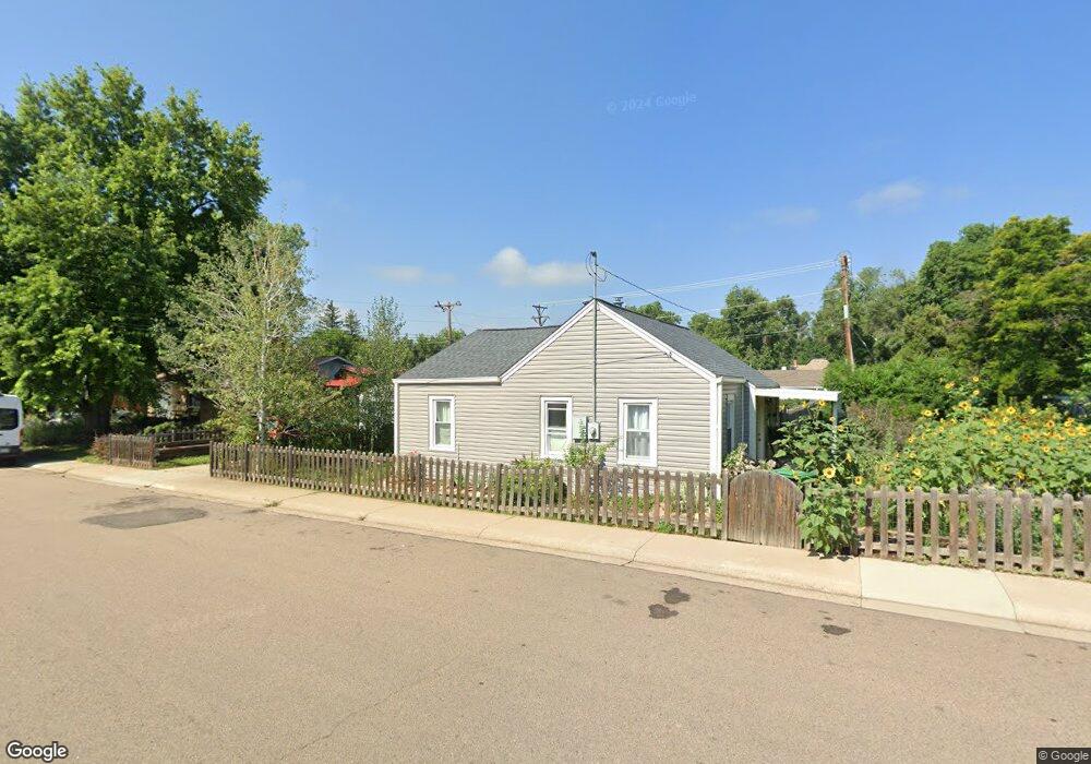
203 17th Ave Longmont, CO 80501
Clark Centennial NeighborhoodEstimated Value: $365,003 - $418,000
2
Beds
1
Bath
780
Sq Ft
$503/Sq Ft
Est. Value
About This Home
This home is located at 203 17th Ave, Longmont, CO 80501 and is currently estimated at $392,501, approximately $503 per square foot. 203 17th Ave is a home located in Boulder County with nearby schools including Timberline Pk-8, Skyline High School, and Longmont Christian School.
Ownership History
Date
Name
Owned For
Owner Type
Purchase Details
Closed on
Jun 27, 1995
Sold by
Leonard Sherry A
Bought by
Lamb Jamie M
Current Estimated Value
Home Financials for this Owner
Home Financials are based on the most recent Mortgage that was taken out on this home.
Original Mortgage
$75,100
Interest Rate
7.77%
Purchase Details
Closed on
Jun 2, 1993
Bought by
Lamb Jamie M
Purchase Details
Closed on
Sep 8, 1988
Bought by
Lamb Jamie M
Purchase Details
Closed on
Apr 19, 1978
Bought by
Lamb Jamie M
Create a Home Valuation Report for This Property
The Home Valuation Report is an in-depth analysis detailing your home's value as well as a comparison with similar homes in the area
Home Values in the Area
Average Home Value in this Area
Purchase History
| Date | Buyer | Sale Price | Title Company |
|---|---|---|---|
| Lamb Jamie M | $93,900 | Commonwealth Land Title | |
| Lamb Jamie M | $68,500 | -- | |
| Lamb Jamie M | $45,000 | -- | |
| Lamb Jamie M | $37,500 | -- |
Source: Public Records
Mortgage History
| Date | Status | Borrower | Loan Amount |
|---|---|---|---|
| Closed | Lamb Jamie M | $75,100 |
Source: Public Records
Tax History Compared to Growth
Tax History
| Year | Tax Paid | Tax Assessment Tax Assessment Total Assessment is a certain percentage of the fair market value that is determined by local assessors to be the total taxable value of land and additions on the property. | Land | Improvement |
|---|---|---|---|---|
| 2025 | $1,775 | $21,231 | $9,406 | $11,825 |
| 2024 | $1,775 | $21,231 | $9,406 | $11,825 |
| 2023 | $1,751 | $18,559 | $10,365 | $11,879 |
| 2022 | $1,660 | $16,777 | $7,527 | $9,250 |
| 2021 | $1,682 | $17,260 | $7,743 | $9,517 |
| 2020 | $1,478 | $15,216 | $7,508 | $7,708 |
| 2019 | $1,455 | $15,216 | $7,508 | $7,708 |
| 2018 | $1,220 | $12,845 | $7,416 | $5,429 |
| 2017 | $1,204 | $14,201 | $8,199 | $6,002 |
| 2016 | $1,083 | $11,335 | $6,448 | $4,887 |
| 2015 | $1,032 | $8,923 | $2,627 | $6,296 |
| 2014 | $833 | $8,923 | $2,627 | $6,296 |
Source: Public Records
Map
Nearby Homes
- 303 17th Ave
- 117 Valentine Ln
- 1514 Collyer St
- 16 Merideth Ln
- 1818 Atwood St
- 1833 Atwood St
- 1501 Liberty Ct
- 1746 Shavano St
- 50 Forsyth Dr
- 1943 Meadow Dr Unit B2
- 1711 Antero Dr
- 1530 Terry St
- 1933 Emery St
- 729 17th Ave Unit 46
- 729 17th Ave Unit 16
- 112 Dawson Place
- 821 17th Ave Unit 9
- 1840 Red Cloud Rd
- 50 19th Ave
- 147 Dawson Place
- 1647 Atwood St
- 217 17th Ave
- 1644 Collyer St
- 217 17th Ave
- 1654 Atwood St
- 1641 Atwood St
- 1638 Collyer St
- 136 Anniversary Ln
- 1703 Atwood St
- 127 17th Ave
- 1702 Collyer St
- 1632 Collyer St
- 130 Anniversary Ln
- 1702 Atwood St
- 121 17th Ave
- 1709 Atwood St
- 1629 Atwood St
- 124 Anniversary Ln
- 1708 Collyer St
- 1626 Collyer St