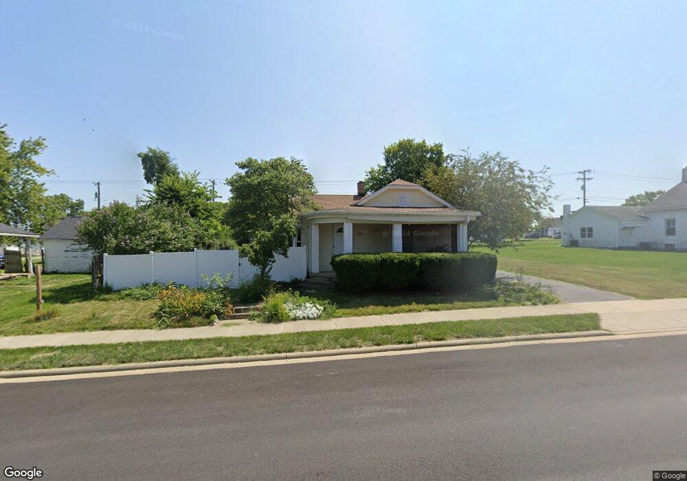
203 Ada Doty St Gratis, OH 45330
Estimated Value: $141,000 - $176,000
3
Beds
1
Bath
1,269
Sq Ft
$126/Sq Ft
Est. Value
About This Home
This home is located at 203 Ada Doty St, Gratis, OH 45330 and is currently estimated at $159,785, approximately $125 per square foot. 203 Ada Doty St is a home located in Preble County with nearby schools including Preble Shawnee Elementary School, West Elkton Intermediate School, and Preble Shawnee Junior/Senior High School.
Ownership History
Date
Name
Owned For
Owner Type
Purchase Details
Closed on
May 30, 2024
Sold by
Brubaker Zachary M and Brubaker Lexie
Bought by
Stange Michael
Current Estimated Value
Purchase Details
Closed on
May 12, 2023
Sold by
Childers Michelle K
Bought by
Brubaker Zachary M
Home Financials for this Owner
Home Financials are based on the most recent Mortgage that was taken out on this home.
Original Mortgage
$116,400
Interest Rate
6.28%
Mortgage Type
New Conventional
Purchase Details
Closed on
Jun 5, 1986
Bought by
Childers Michelle K
Create a Home Valuation Report for This Property
The Home Valuation Report is an in-depth analysis detailing your home's value as well as a comparison with similar homes in the area
Purchase History
| Date | Buyer | Sale Price | Title Company |
|---|---|---|---|
| Stange Michael | -- | None Listed On Document | |
| Stange Michael | -- | None Listed On Document | |
| Stange Michael | -- | None Listed On Document | |
| Stange Michael | -- | None Listed On Document | |
| Brubaker Zachary M | -- | Performance Title | |
| Brubaker Zachary M | -- | Performance Title | |
| Brubaker Zachary M | -- | Performance Title | |
| Brubaker Zachary M | -- | Performance Title | |
| Childers Michelle K | $17,400 | -- | |
| Childers Michelle K | $17,400 | -- |
Source: Public Records
Mortgage History
| Date | Status | Borrower | Loan Amount |
|---|---|---|---|
| Previous Owner | Brubaker Zachary M | $116,400 |
Source: Public Records
Tax History
| Year | Tax Paid | Tax Assessment Tax Assessment Total Assessment is a certain percentage of the fair market value that is determined by local assessors to be the total taxable value of land and additions on the property. | Land | Improvement |
|---|---|---|---|---|
| 2024 | $1,236 | $31,920 | $5,950 | $25,970 |
| 2023 | $1,251 | $31,920 | $5,950 | $25,970 |
| 2022 | $1,194 | $31,720 | $4,450 | $27,270 |
| 2021 | $1,224 | $31,720 | $4,450 | $27,270 |
| 2020 | $1,169 | $31,720 | $4,450 | $27,270 |
| 2019 | $952 | $25,940 | $3,890 | $22,050 |
| 2018 | $988 | $25,940 | $3,890 | $22,050 |
| 2017 | $886 | $25,940 | $3,890 | $22,050 |
| 2016 | $838 | $23,600 | $3,890 | $19,710 |
| 2014 | $856 | $22,480 | $3,890 | $18,590 |
| 2013 | $856 | $22,470 | $3,885 | $18,585 |
Source: Public Records
Map
Nearby Homes
- 411 E South St
- 8774 Ohio 503
- 6171 Somers Gratis Rd
- 11307 S 122 State
- 3412 Ohio 122
- 8179 Pleasant Valley Rd
- 8793 Greenbush Rd
- 6612 Greenbush Rd
- 14541 Lower Gratis Rd
- 9897 Pleasant Valley Rd
- 9987 Puddenbag Rd
- 10149 Pleasant Valley Rd
- 725 Sr
- 104 Jackson St
- 111 Jackson St
- 1568 Wolf Rd
- 118 E Walnut St
- 1486 Wolf Rd
- 00 Hemple Rd
- 1389 Leon Dr
- 203 S Ada Doty St
- 5-9 Thomas St
- 0 State Route Unit 907245
- 204 S Ada Doty St
- 208 S East St
- 208 S Ada Doty St
- 8 Mack St
- 11 Mack St
- 301 S Ada Doty St
- 109 S Ada Doty St
- 118 S East St
- 20 Thomas St
- 0 State Route 122
- 300 S Ada Doty St
- 201 S East St
- 201 Harrison St
- 108 S Ada Doty St
- 8 Mack St
- 115 S East St
- 304 S Ada Doty St
Your Personal Tour Guide
Ask me questions while you tour the home.