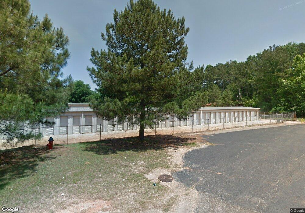
203 Apache Dr Enterprise, AL 36330
Estimated Value: $548,762
Studio
--
Bath
12,050
Sq Ft
$46/Sq Ft
Est. Value
About This Home
This home is located at 203 Apache Dr, Enterprise, AL 36330 and is currently estimated at $548,762, approximately $45 per square foot. 203 Apache Dr is a home located in Coffee County with nearby schools including Harrand Creek Elementary School, Dauphin Junior High School, and Enterprise High School.
Ownership History
Date
Name
Owned For
Owner Type
Purchase Details
Closed on
Feb 12, 2025
Sold by
A-Less Storage Llc
Bought by
Mcelroy Stacy and Mcelroy Alicia
Current Estimated Value
Home Financials for this Owner
Home Financials are based on the most recent Mortgage that was taken out on this home.
Original Mortgage
$370,000
Outstanding Balance
$367,801
Interest Rate
6.91%
Mortgage Type
Seller Take Back
Estimated Equity
$180,961
Create a Home Valuation Report for This Property
The Home Valuation Report is an in-depth analysis detailing your home's value as well as a comparison with similar homes in the area
Purchase History
| Date | Buyer | Sale Price | Title Company |
|---|---|---|---|
| Mcelroy Stacy | $530,000 | None Listed On Document | |
| Mcelroy Stacy | $530,000 | None Listed On Document |
Source: Public Records
Mortgage History
| Date | Status | Borrower | Loan Amount |
|---|---|---|---|
| Open | Mcelroy Stacy | $370,000 | |
| Closed | Mcelroy Stacy | $370,000 |
Source: Public Records
Tax History
| Year | Tax Paid | Tax Assessment Tax Assessment Total Assessment is a certain percentage of the fair market value that is determined by local assessors to be the total taxable value of land and additions on the property. | Land | Improvement |
|---|---|---|---|---|
| 2024 | $1,101 | $6,327 | $700 | $5,627 |
| 2023 | $1,101 | $25,308 | $2,800 | $22,508 |
| 2022 | $1,101 | $25,320 | $0 | $0 |
| 2021 | $945 | $21,720 | $0 | $0 |
| 2020 | $945 | $21,720 | $0 | $0 |
| 2019 | $519 | $11,920 | $0 | $0 |
| 2018 | $519 | $11,920 | $0 | $0 |
| 2017 | $581 | $13,360 | $0 | $0 |
| 2016 | $581 | $13,360 | $0 | $0 |
| 2015 | $581 | $13,360 | $0 | $0 |
| 2014 | $581 | $13,360 | $0 | $0 |
| 2013 | $586 | $0 | $0 | $0 |
Source: Public Records
Map
Nearby Homes
- 503 Navaho St
- 000 Springdale Dr
- 621 Boll Weevil Cir Unit 40
- 406 Iroquois Rd
- 105 Comanche St
- 108 Anthony Cir Unit C
- 604 Springdale Dr
- 114 Iroquois Rd
- 200 Lake Oliver Dr
- 641 Glover Ave
- 201 Lake Oliver Dr
- 105 Bellevue Way
- 410 Melbourne Dr
- 309 Colony Dr
- 307 Colony Dr
- 0 E Lee St
- 311 Antler Dr
- 635 Glover Ave
- 425 Glover Ave
- 201 Colony Dr Unit 28
Your Personal Tour Guide
Ask me questions while you tour the home.