Estimated Value: $249,331 - $273,000
2
Beds
2
Baths
1,432
Sq Ft
$179/Sq Ft
Est. Value
About This Home
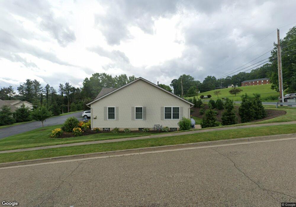
This home is located at 203 Aspen Dr Unit 203, Dover, OH 44622 and is currently estimated at $256,333, approximately $179 per square foot. 203 Aspen Dr Unit 203 is a home located in Tuscarawas County with nearby schools including Dover High School and Tuscarawas Central Catholic Elementary School.
Ownership History
Date
Name
Owned For
Owner Type
Purchase Details
Closed on
Feb 11, 2022
Sold by
Peoples Charlotte C
Bought by
Charlotte C Peoples Family Irrevocable Reside
Current Estimated Value
Purchase Details
Closed on
Jan 22, 2019
Sold by
Peoples Bernard W and Peoples Charlotte C
Bought by
Peoples Charlotte C
Purchase Details
Closed on
Jun 27, 2007
Sold by
M & P Development Of Tuscarawas Cnty Ltd
Bought by
Peoples Bernard W and Peoples Charlotte C
Purchase Details
Closed on
Nov 4, 2003
Sold by
Rr Stark Co
Bought by
M & P Development Of Tuscarawas County L
Home Financials for this Owner
Home Financials are based on the most recent Mortgage that was taken out on this home.
Original Mortgage
$1,000,000
Interest Rate
6.02%
Mortgage Type
Purchase Money Mortgage
Create a Home Valuation Report for This Property
The Home Valuation Report is an in-depth analysis detailing your home's value as well as a comparison with similar homes in the area
Home Values in the Area
Average Home Value in this Area
Purchase History
| Date | Buyer | Sale Price | Title Company |
|---|---|---|---|
| Charlotte C Peoples Family Irrevocable Reside | -- | Krugliak Wilkins Griffths & Do | |
| Peoples Charlotte C | -- | None Available | |
| Peoples Bernard W | $115,000 | Camco Title | |
| M & P Development Of Tuscarawas County L | $1,085,000 | -- |
Source: Public Records
Mortgage History
| Date | Status | Borrower | Loan Amount |
|---|---|---|---|
| Previous Owner | M & P Development Of Tuscarawas County L | $1,000,000 |
Source: Public Records
Tax History Compared to Growth
Tax History
| Year | Tax Paid | Tax Assessment Tax Assessment Total Assessment is a certain percentage of the fair market value that is determined by local assessors to be the total taxable value of land and additions on the property. | Land | Improvement |
|---|---|---|---|---|
| 2024 | $2,715 | $61,930 | $8,500 | $53,430 |
| 2023 | $2,715 | $176,950 | $24,280 | $152,670 |
| 2022 | $2,300 | $61,933 | $8,498 | $53,435 |
| 2021 | $2,163 | $55,696 | $6,223 | $49,473 |
| 2020 | $2,163 | $55,696 | $6,223 | $49,473 |
| 2019 | $2,179 | $55,696 | $6,223 | $49,473 |
| 2018 | $1,888 | $47,200 | $5,270 | $41,930 |
| 2017 | $1,888 | $47,200 | $5,270 | $41,930 |
| 2016 | $1,891 | $47,200 | $5,270 | $41,930 |
| 2014 | $1,579 | $43,670 | $5,270 | $38,400 |
| 2013 | $1,596 | $43,670 | $5,270 | $38,400 |
Source: Public Records
Map
Nearby Homes
- 2719 Wyandot Dr
- 502 Oakdale Dr
- 520 Oakdale Dr
- 1242 Schneiders Crossing Rd NW Unit C
- 971 Schneiders Crossing Rd NW
- 3030 N Wooster Ave
- 306 E 15th St
- 6238 Saint Peters Church Rd NW
- 5747 Middle Run Rd NW
- 1411 Chestnut St
- 119 Phoenix Dr
- 1319 N Walnut St
- 6113 Middle Run Rd
- 500 W 13th St
- 227 E Slingluff Ave
- 0 Bair Rd NW Unit 5124469
- 0 Bair Rd NW Unit 5124477
- 0 Bair Rd NW Unit 5124464
- 0 Bair Rd NW Unit 5124485
- 0 Bair Rd NW Unit 5124339
- 201 Aspen Dr Unit 201
- 205 Aspen Dr Unit 205
- 207 Aspen Dr Unit 205
- 215 Aspen Dr
- 213 Aspen Dr Unit 213
- 217 Aspen Dr
- 209 Aspen Dr Unit 209
- 219 Aspen Dr
- 100 Aspen Dr
- 100 Aspen Dr Unit 100
- 211 Aspen Dr Unit 209
- 106 Aspen Dr
- 102 Aspen Dr Unit 102
- 223 Aspen Dr
- 104 Aspen Dr Unit 106
- 453 Shawnee Dr
- 459 Shawnee Dr
- 108 Aspen Dr Unit 108
- 449 Shawnee Dr
- 501 Shawnee Dr