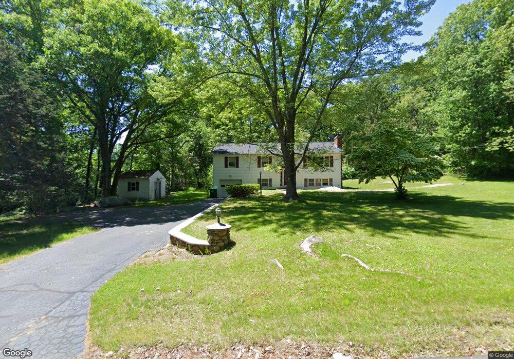
203 Chestnut St Uxbridge, MA 01569
Estimated Value: $516,000 - $666,000
4
Beds
2
Baths
2,149
Sq Ft
$286/Sq Ft
Est. Value
About This Home
This home is located at 203 Chestnut St, Uxbridge, MA 01569 and is currently estimated at $615,030, approximately $286 per square foot. 203 Chestnut St is a home located in Worcester County with nearby schools including Uxbridge High School and Our Lady of the Valley Regional School.
Ownership History
Date
Name
Owned For
Owner Type
Purchase Details
Closed on
Apr 11, 2012
Sold by
Bliss Lester C and Bliss Karen A
Bought by
Bliss Lester C
Current Estimated Value
Purchase Details
Closed on
Mar 1, 2004
Sold by
Bliss Lester C
Bought by
Bliss Karen A and Bliss Lester C
Purchase Details
Closed on
Feb 12, 1997
Sold by
Highland Joan K
Bought by
Bliss Lester
Home Financials for this Owner
Home Financials are based on the most recent Mortgage that was taken out on this home.
Original Mortgage
$11,000
Interest Rate
7.6%
Mortgage Type
Purchase Money Mortgage
Create a Home Valuation Report for This Property
The Home Valuation Report is an in-depth analysis detailing your home's value as well as a comparison with similar homes in the area
Home Values in the Area
Average Home Value in this Area
Purchase History
| Date | Buyer | Sale Price | Title Company |
|---|---|---|---|
| Bliss Lester C | -- | -- | |
| Bliss Karen A | -- | -- | |
| Bliss Lester | $12,000 | -- |
Source: Public Records
Mortgage History
| Date | Status | Borrower | Loan Amount |
|---|---|---|---|
| Previous Owner | Bliss Lester | $11,000 | |
| Previous Owner | Bliss Lester | $85,000 | |
| Previous Owner | Bliss Lester | $40,000 |
Source: Public Records
Tax History
| Year | Tax Paid | Tax Assessment Tax Assessment Total Assessment is a certain percentage of the fair market value that is determined by local assessors to be the total taxable value of land and additions on the property. | Land | Improvement |
|---|---|---|---|---|
| 2025 | $74 | $563,100 | $216,300 | $346,800 |
| 2024 | $7,014 | $542,900 | $207,600 | $335,300 |
| 2023 | $6,661 | $477,500 | $176,500 | $301,000 |
| 2022 | $6,119 | $403,600 | $159,100 | $244,500 |
| 2021 | $6,344 | $401,000 | $156,500 | $244,500 |
| 2020 | $7,016 | $419,100 | $154,700 | $264,400 |
| 2019 | $7,030 | $405,200 | $154,700 | $250,500 |
| 2018 | $6,519 | $379,700 | $154,700 | $225,000 |
| 2017 | $5,872 | $346,200 | $145,000 | $201,200 |
| 2016 | $5,714 | $325,200 | $139,700 | $185,500 |
| 2015 | $5,596 | $321,600 | $139,700 | $181,900 |
Source: Public Records
Map
Nearby Homes
- 57 Chestnut St
- 342 Chestnut St
- 70 Chocolog Rd
- 15 Turner Farm Rd
- 12 Turner Farm Rd
- 18 Turner Farm Rd
- 45 Turner Farm Rd
- 46 Turner Farm Rd
- 47 Turner Farm Rd
- 126 Turner Farm Rd
- 114 Turner Farm Rd
- 136 Turner Farm Rd
- 145 Turner Farm Rd
- 127 Turner Farm Rd
- 29 Glendale St
- 139 Turner Farm Rd
- 314 Richardson St
- 127 Old Millville Rd
- 1001 W Ironstone Rd
- 197 Crownshield Ave Unit 16B
- 191 Chestnut St
- 173 Chestnut St
- 161 Chestnut St
- 180 Chestnut St
- 196 Chestnut St
- 210 Chestnut St
- 164 Chestnut St
- 155 Chestnut St
- 223 Chestnut St
- 30 Acorn Dr
- 215 Aldrich St
- 263 Aldrich St
- 273 Aldrich St
- 230 Chestnut St
- 145 Chestnut St
- 40 Acorn Dr
- 20 Acorn Dr
- 146 Chestnut St
- 292 Chestnut St
- LOT 1 Chestnut St
Your Personal Tour Guide
Ask me questions while you tour the home.