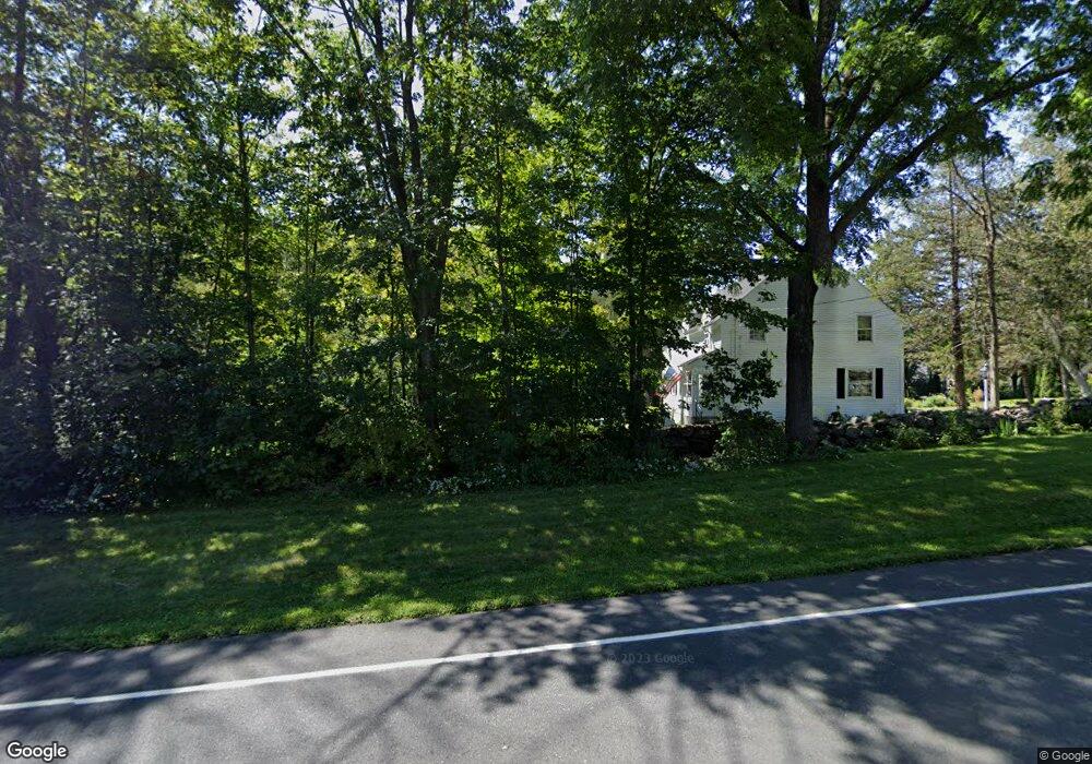
203 Colebrook Rd Winsted, CT 06098
Estimated Value: $384,000 - $513,000
3
Beds
3
Baths
2,214
Sq Ft
$201/Sq Ft
Est. Value
About This Home
This home is located at 203 Colebrook Rd, Winsted, CT 06098 and is currently estimated at $444,418, approximately $200 per square foot. 203 Colebrook Rd is a home located in Litchfield County with nearby schools including Pearson School, Explorations Charter School, and St Anthony School.
Ownership History
Date
Name
Owned For
Owner Type
Purchase Details
Closed on
Sep 3, 2002
Sold by
Sawyer Jane W
Bought by
Koch Lawrence C and Koch Marie P
Current Estimated Value
Home Financials for this Owner
Home Financials are based on the most recent Mortgage that was taken out on this home.
Original Mortgage
$140,000
Outstanding Balance
$59,804
Interest Rate
6.55%
Estimated Equity
$384,614
Purchase Details
Closed on
Sep 23, 1997
Sold by
Dimauro Francis A
Bought by
Sawyer Jane W
Purchase Details
Closed on
Jun 16, 1989
Sold by
Rinhart George
Bought by
Dimauro Francis
Create a Home Valuation Report for This Property
The Home Valuation Report is an in-depth analysis detailing your home's value as well as a comparison with similar homes in the area
Home Values in the Area
Average Home Value in this Area
Purchase History
| Date | Buyer | Sale Price | Title Company |
|---|---|---|---|
| Koch Lawrence C | $175,000 | -- | |
| Koch Lawrence C | $175,000 | -- | |
| Sawyer Jane W | $130,000 | -- | |
| Sawyer Jane W | $130,000 | -- | |
| Dimauro Francis | $150,000 | -- |
Source: Public Records
Mortgage History
| Date | Status | Borrower | Loan Amount |
|---|---|---|---|
| Open | Dimauro Francis | $140,000 | |
| Closed | Dimauro Francis | $140,000 |
Source: Public Records
Tax History
| Year | Tax Paid | Tax Assessment Tax Assessment Total Assessment is a certain percentage of the fair market value that is determined by local assessors to be the total taxable value of land and additions on the property. | Land | Improvement |
|---|---|---|---|---|
| 2025 | $6,879 | $235,830 | $39,410 | $196,420 |
| 2024 | $6,424 | $235,830 | $39,410 | $196,420 |
| 2023 | $6,224 | $235,830 | $39,410 | $196,420 |
| 2022 | $5,123 | $152,740 | $28,560 | $124,180 |
| 2021 | $5,123 | $152,740 | $28,560 | $124,180 |
| 2020 | $5,123 | $152,740 | $28,560 | $124,180 |
| 2019 | $5,123 | $152,740 | $28,560 | $124,180 |
| 2018 | $5,123 | $152,740 | $28,560 | $124,180 |
| 2017 | $4,968 | $148,120 | $27,160 | $120,960 |
| 2016 | $4,968 | $148,120 | $27,160 | $120,960 |
| 2015 | $4,844 | $148,120 | $27,160 | $120,960 |
| 2014 | $4,727 | $148,120 | $27,160 | $120,960 |
Source: Public Records
Map
Nearby Homes
- 32 Norfolk Rd
- 99 Hubbard St
- 77 Hubbard St
- 256 Colebrook Rd
- 118 Meadow St
- 38 Upland Rd
- 9 John St
- 720 Main St
- 157 Elm St
- 000000 Norfolk Rd
- 124 Rockwell St
- 436 Main St
- 106 Rockwell St
- 25 Center St
- 197 Spencer Hill Rd
- 48 Bridge St
- 21 Riveredge Dr Unit 21
- 55 Walnut St
- 230 E Wakefield Blvd
- 35 Riveredge Dr Unit 35
Your Personal Tour Guide
Ask me questions while you tour the home.