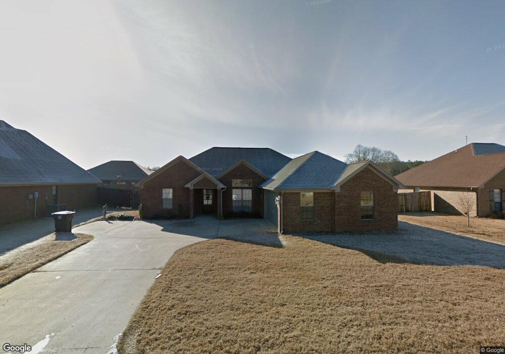
203 Colt Ln Guntown, MS 38849
Estimated Value: $217,000 - $265,000
--
Bed
--
Bath
1,635
Sq Ft
$145/Sq Ft
Est. Value
About This Home
This home is located at 203 Colt Ln, Guntown, MS 38849 and is currently estimated at $237,291, approximately $145 per square foot. 203 Colt Ln is a home with nearby schools including Saltillo Primary School, Saltillo Elementary School, and Guntown Middle School.
Ownership History
Date
Name
Owned For
Owner Type
Purchase Details
Closed on
Jul 24, 2015
Bought by
John and Vance Brittany
Current Estimated Value
Home Financials for this Owner
Home Financials are based on the most recent Mortgage that was taken out on this home.
Original Mortgage
$147,184
Outstanding Balance
$114,322
Interest Rate
3.75%
Mortgage Type
FHA
Estimated Equity
$122,969
Purchase Details
Closed on
Oct 17, 2008
Sold by
Crow Darren
Bought by
Barham Gurminderpal S and Barham Sukwinder K
Home Financials for this Owner
Home Financials are based on the most recent Mortgage that was taken out on this home.
Original Mortgage
$110,863
Interest Rate
5.78%
Purchase Details
Closed on
May 2, 2008
Sold by
Deaton Contruction Inc
Bought by
Crow Darren
Create a Home Valuation Report for This Property
The Home Valuation Report is an in-depth analysis detailing your home's value as well as a comparison with similar homes in the area
Home Values in the Area
Average Home Value in this Area
Purchase History
| Date | Buyer | Sale Price | Title Company |
|---|---|---|---|
| John | -- | -- | |
| Barham Gurminderpal S | -- | -- | |
| Crow Darren | -- | -- |
Source: Public Records
Mortgage History
| Date | Status | Borrower | Loan Amount |
|---|---|---|---|
| Open | John | $147,184 | |
| Previous Owner | Barham Gurminderpal S | $110,863 |
Source: Public Records
Tax History Compared to Growth
Tax History
| Year | Tax Paid | Tax Assessment Tax Assessment Total Assessment is a certain percentage of the fair market value that is determined by local assessors to be the total taxable value of land and additions on the property. | Land | Improvement |
|---|---|---|---|---|
| 2024 | $2,066 | $15,331 | $0 | $0 |
| 2023 | $1,858 | $13,997 | $0 | $0 |
| 2022 | $1,558 | $13,997 | $0 | $0 |
| 2021 | $1,558 | $13,997 | $0 | $0 |
| 2020 | $1,854 | $13,997 | $0 | $0 |
| 2019 | $1,146 | $13,402 | $0 | $0 |
| 2018 | $1,156 | $13,402 | $0 | $0 |
| 2017 | $1,128 | $13,402 | $0 | $0 |
| 2016 | $1,080 | $13,402 | $0 | $0 |
| 2015 | -- | $12,519 | $0 | $0 |
| 2014 | -- | $12,519 | $0 | $0 |
Source: Public Records
Map
Nearby Homes