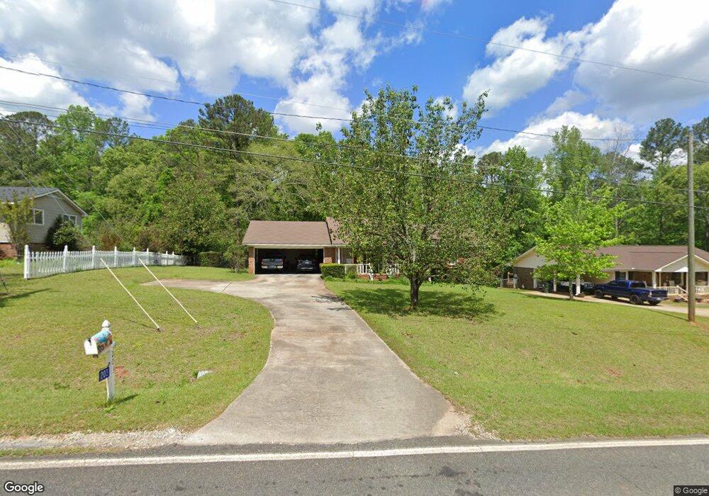
203 Daniel Rd Thomaston, GA 30286
Estimated Value: $207,000 - $264,000
2
Beds
2
Baths
1,446
Sq Ft
$164/Sq Ft
Est. Value
About This Home
This home is located at 203 Daniel Rd, Thomaston, GA 30286 and is currently estimated at $237,713, approximately $164 per square foot. 203 Daniel Rd is a home located in Upson County with nearby schools including Upson-Lee South Elementary School, Upson-Lee North Elementary School, and Upson-Lee Middle School.
Ownership History
Date
Name
Owned For
Owner Type
Purchase Details
Closed on
Oct 26, 2012
Sold by
Mckenzie Virginia D
Bought by
Price William David and Price Lacy E
Current Estimated Value
Home Financials for this Owner
Home Financials are based on the most recent Mortgage that was taken out on this home.
Original Mortgage
$85,405
Outstanding Balance
$58,465
Interest Rate
3.42%
Mortgage Type
New Conventional
Estimated Equity
$179,248
Create a Home Valuation Report for This Property
The Home Valuation Report is an in-depth analysis detailing your home's value as well as a comparison with similar homes in the area
Home Values in the Area
Average Home Value in this Area
Purchase History
| Date | Buyer | Sale Price | Title Company |
|---|---|---|---|
| Price William David | $89,900 | -- |
Source: Public Records
Mortgage History
| Date | Status | Borrower | Loan Amount |
|---|---|---|---|
| Open | Price William David | $85,405 |
Source: Public Records
Tax History
| Year | Tax Paid | Tax Assessment Tax Assessment Total Assessment is a certain percentage of the fair market value that is determined by local assessors to be the total taxable value of land and additions on the property. | Land | Improvement |
|---|---|---|---|---|
| 2025 | $1,886 | $79,960 | $15,600 | $64,360 |
| 2024 | $1,886 | $75,086 | $15,600 | $59,486 |
| 2023 | $1,840 | $72,657 | $15,600 | $57,057 |
| 2022 | $1,589 | $59,295 | $15,600 | $43,695 |
| 2021 | $1,190 | $47,149 | $10,800 | $36,349 |
| 2020 | $1,166 | $43,328 | $8,800 | $34,528 |
| 2019 | $1,310 | $44,758 | $8,800 | $35,958 |
| 2018 | $1,311 | $44,758 | $8,800 | $35,958 |
| 2017 | $1,008 | $31,974 | $4,000 | $27,974 |
| 2016 | $993 | $31,065 | $4,000 | $27,065 |
| 2015 | $994 | $31,065 | $4,000 | $27,065 |
| 2014 | $995 | $31,065 | $4,000 | $27,065 |
Source: Public Records
Map
Nearby Homes
- 202 Daniel Rd
- 121 Salbar St
- 121 David Dr
- 107 Maynard St
- 215 Denham St
- 101 Pineview Dr
- 0 Glenwood Dr Unit 10721340
- 458 E St
- 109 Salter Rd
- 0 Daniel Rd Unit 10644862
- 100 Beaver Run Trace
- 134 Church Rd
- 0 12th Ave Unit 10630351
- 19 Fallin Rd
- 47 Hill Crest Dr
- 124 Brookfield Dr
- 202 D St NE
- 228 R St NW
- 119 F St
- 719 9th Ave
Your Personal Tour Guide
Ask me questions while you tour the home.