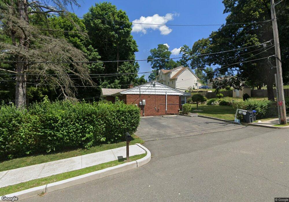
203 Dobbs Ferry Rd White Plains, NY 10607
Estimated Value: $953,000 - $1,169,000
Studio
--
Bath
4,020
Sq Ft
$266/Sq Ft
Est. Value
About This Home
This home is located at 203 Dobbs Ferry Rd, White Plains, NY 10607 and is currently estimated at $1,070,303, approximately $266 per square foot. 203 Dobbs Ferry Rd is a home located in Westchester County with nearby schools including Richard J. Bailey Elementary School, Lee F. Jackson Elementary School, and Highview Elementary School.
Ownership History
Date
Name
Owned For
Owner Type
Purchase Details
Closed on
Jul 9, 2008
Sold by
Allen Gwendolyn and Allen Linda J
Bought by
Allen Seward Gwendolyn and Seward Ichu Ki
Current Estimated Value
Purchase Details
Closed on
Oct 16, 2006
Sold by
Allen Calvin W and Allen Calvin William
Bought by
Allen Gwendolyn and Allen Linda J
Purchase Details
Closed on
May 11, 2004
Sold by
Allen Calvin W and Allen Ione M
Bought by
Allen Gwendolyn and Allen Linda J
Create a Home Valuation Report for This Property
The Home Valuation Report is an in-depth analysis detailing your home's value as well as a comparison with similar homes in the area
Home Values in the Area
Average Home Value in this Area
Purchase History
| Date | Buyer | Sale Price | Title Company |
|---|---|---|---|
| Allen Seward Gwendolyn | -- | None Available | |
| Allen Gwendolyn | -- | None Available | |
| Allen Gwendolyn | -- | The Judicial Title Ins Agenc |
Source: Public Records
Tax History
| Year | Tax Paid | Tax Assessment Tax Assessment Total Assessment is a certain percentage of the fair market value that is determined by local assessors to be the total taxable value of land and additions on the property. | Land | Improvement |
|---|---|---|---|---|
| 2024 | $22,552 | $937,800 | $202,300 | $735,500 |
| 2023 | $20,486 | $798,200 | $203,500 | $594,700 |
| 2022 | $19,123 | $756,200 | $203,500 | $552,700 |
| 2021 | $16,590 | $686,100 | $203,500 | $482,600 |
| 2020 | $16,630 | $578,400 | $192,200 | $386,200 |
| 2019 | $14,950 | $578,400 | $192,200 | $386,200 |
| 2018 | $15,917 | $567,800 | $192,200 | $375,600 |
| 2017 | $8,074 | $551,900 | $192,200 | $359,700 |
| 2016 | $279,326 | $530,700 | $192,200 | $338,500 |
| 2015 | -- | $23,650 | $5,250 | $18,400 |
| 2014 | -- | $23,650 | $5,250 | $18,400 |
| 2013 | $17,874 | $23,650 | $5,250 | $18,400 |
Source: Public Records
Map
Nearby Homes
- 214 Dobbs Ferry Rd
- 10 Hampton Terrace
- 10 Sciortino Place
- 302 Pondside Dr
- 24 Old Knollwood Rd
- 797 W Hartsdale Rd
- 107 Gibson Ave
- 17 Dobbs Ferry Rd
- 79 Riverdale Ave
- 63 Riverdale Ave
- 5 Teramar Way
- 66 Beech St
- 69 Skymeadow Place
- 65 Skymeadow Place
- 16 Stoneham Place
- 38 Kathwood Rd
- 20 Shelley Ave
- 12 Shelly Ave
- 11 Fieldstone Dr Unit 130
- 1 Fieldstone Dr Unit 77
- 210 Dobbs Ferry Rd
- 193 Dobbs Ferry Rd
- 204 Dobbs Ferry Rd
- 200 Dobbs Ferry Rd
- 12 Hampton Terrace
- 16 Hampton Terrace
- 192 Dobbs Ferry Rd
- 221 Dobbs Ferry Rd
- 185 Dobbs Ferry Rd
- 186 Dobbs Ferry Rd
- 4 Hampton Terrace
- 15 Hampton Terrace
- 11 Hampton Terrace
- 180 Dobbs Ferry Rd
- 235 Dobbs Ferry Rd
- 17 Hampton Terrace
- 9 Hampton Terrace
- 170 Dobbs Ferry Rd
- 24 Downing Dr E
- 179 Dobbs Ferry Rd
Your Personal Tour Guide
Ask me questions while you tour the home.