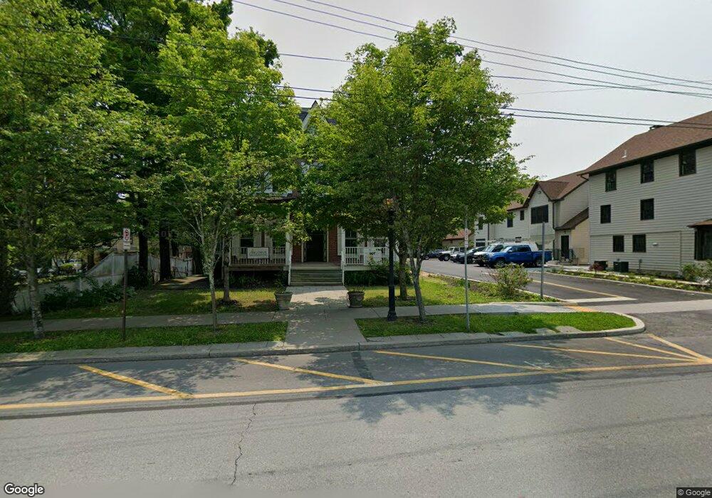
203 E Harford St Milford, PA 18337
Estimated Value: $322,594
--
Bed
2
Baths
4,738
Sq Ft
$68/Sq Ft
Est. Value
About This Home
This home is located at 203 E Harford St, Milford, PA 18337 and is currently estimated at $322,594, approximately $68 per square foot. 203 E Harford St is a home located in Pike County with nearby schools including Delaware Valley High School.
Ownership History
Date
Name
Owned For
Owner Type
Purchase Details
Closed on
Aug 3, 2022
Sold by
Campbell Oressa
Bought by
Family Promise Of Monroe County Inc
Current Estimated Value
Purchase Details
Closed on
Jun 30, 2011
Sold by
Dellarocco Vince
Bought by
Campbell Oressa and Miller Kevin
Home Financials for this Owner
Home Financials are based on the most recent Mortgage that was taken out on this home.
Original Mortgage
$120,000
Interest Rate
4.62%
Mortgage Type
Commercial
Create a Home Valuation Report for This Property
The Home Valuation Report is an in-depth analysis detailing your home's value as well as a comparison with similar homes in the area
Home Values in the Area
Average Home Value in this Area
Purchase History
| Date | Buyer | Sale Price | Title Company |
|---|---|---|---|
| Family Promise Of Monroe County Inc | $268,000 | -- | |
| Campbell Oressa | $143,000 | None Available |
Source: Public Records
Mortgage History
| Date | Status | Borrower | Loan Amount |
|---|---|---|---|
| Previous Owner | Campbell Oressa | $120,000 |
Source: Public Records
Tax History Compared to Growth
Tax History
| Year | Tax Paid | Tax Assessment Tax Assessment Total Assessment is a certain percentage of the fair market value that is determined by local assessors to be the total taxable value of land and additions on the property. | Land | Improvement |
|---|---|---|---|---|
| 2025 | $6,974 | $37,970 | $22,970 | $15,000 |
| 2024 | $6,974 | $37,970 | $22,970 | $15,000 |
| 2023 | $6,974 | $37,970 | $22,970 | $15,000 |
| 2022 | $6,823 | $37,970 | $22,970 | $15,000 |
| 2021 | $6,956 | $37,970 | $22,970 | $15,000 |
| 2020 | $6,880 | $37,970 | $22,970 | $15,000 |
| 2019 | $6,704 | $37,970 | $22,970 | $15,000 |
| 2018 | $6,704 | $37,970 | $22,970 | $15,000 |
| 2017 | $6,562 | $37,970 | $22,970 | $15,000 |
| 2016 | $0 | $37,970 | $22,970 | $15,000 |
| 2015 | -- | $37,970 | $22,970 | $15,000 |
| 2014 | -- | $37,970 | $22,970 | $15,000 |
Source: Public Records
Map
Nearby Homes
- 107 Broad St
- 208 E High St
- 203 W Harford St
- 112 W High St
- 509 Broad St
- 408 5th St
- 106 Mill St
- LOT 600 W High St
- 311 W Catherine St
- 212 W John St
- 619 5th St
- 121 Millcreek Ct
- 105 Bennett Ave
- Lot 469 W Sarah St
- 134 Bennett Ave
- 106 Orben Ln
- Lot 54 Skyline Dr
- Lot 59 Skyline Dr
- 0 Route 6 & 209 Unit PWBPW252055
- 110 Shadow Ln
- 207 E Harford St
- 205 E Harford St
- 209 E Harford St
- End Brownstone Unit 516/146
- 204 E Harford St
- 204 E Harford St
- 204 E Harford St
- 204 E Harford St
- 112 E Harford St
- 120 E Harford St
- 211 E Harford St
- 116 E Harford St
- 208 E Harford St
- 210 E Harford St
- 213 E Harford St
- 202 4th St
- 204 4th St
- 107 Blackberry Alley
- 214 E Harford St
- 120 Pear Alley