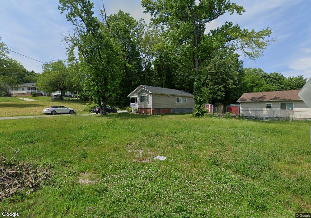
203 Hoskins St High Point, NC 27260
Greater High Point NeighborhoodEstimated Value: $157,000 - $215,000
About This Home
This home is located at 203 Hoskins St, High Point, NC 27260 and is currently estimated at $194,453, approximately $155 per square foot. 203 Hoskins St is a home located in Guilford County with nearby schools including Parkview Village Elementary School, Southwest Guilford Middle School, and Southwest Guilford High School.
Ownership History
We collect this data history from publicly available records. To have your information removed, we recommend requesting removal directly through your county’s website.
Purchase Details
Home Financials for this Owner
Home Financials are based on the most recent Mortgage that was taken out on this home.Purchase Details
Purchase Details
Purchase Details
Home Values in the Area
Average Home Value in this Area
Purchase History
We collect this data history from publicly available records. To have your information removed, we recommend requesting removal directly through your county’s website.
| Date | Buyer | Sale Price | Title Company |
|---|---|---|---|
| $99,000 | None Available | ||
| -- | -- | ||
| $23,000 | Attorney | ||
| $4,500 | -- |
Mortgage History
We collect this data history from publicly available records. To have your information removed, we recommend requesting removal directly through your county’s website.
| Date | Status | Borrower | Loan Amount |
|---|---|---|---|
| Open | $75,000 |
Tax History
We collect this data history from publicly available records. To have your information removed, we recommend requesting removal directly through your county’s website.
| Year | Tax Paid | Tax Assessment Tax Assessment Total Assessment is a certain percentage of the fair market value that is determined by local assessors to be the total taxable value of land and additions on the property. | Land | Improvement |
|---|---|---|---|---|
| 2025 | $1,490 | $108,100 | $14,000 | $94,100 |
| 2024 | $1,490 | $108,100 | $14,000 | $94,100 |
| 2023 | $1,490 | $108,100 | $14,000 | $94,100 |
| 2022 | $1,457 | $108,100 | $14,000 | $94,100 |
| 2021 | $1,297 | $94,100 | $11,000 | $83,100 |
| 2020 | $1,297 | $94,100 | $11,000 | $83,100 |
| 2019 | $1,297 | $94,100 | $0 | $0 |
| 2018 | $0 | $0 | $0 | $0 |
| 2017 | -- | $0 | $0 | $0 |
| 2016 | -- | $0 | $0 | $0 |
| 2015 | $413 | $29,300 | $0 | $0 |
| 2014 | $420 | $29,300 | $0 | $0 |
Map
- 1511 Davis Ave
- 1508 Boundary Ave
- 1528 Graves Ave
- 1602 Boundary Ave
- 1604 Boundary Ave
- 1606 Boundary Ave
- 1308 Boundary Ave
- 1505 East Ave
- 524 Ashburn St
- 208 Underhill St
- 410 Meredith St
- 412 Meredith St
- 1014 Montlieu Ave
- 1224 S Downing St
- 505 Kent Ct
- 1108 Dartmouth Ave
- 305 Woodbury St
- 844 Willow Place
- 1701 Gavin Dr
- 1703 Gavin Dr
- 1715 Brooks Ave
- 1717 Brooks Ave
- 1516 Davis Ave
- 1713 Brooks Ave
- 1514 Davis Ave
- 1711 Edmondson Place
- 1512 Davis Ave
- 1709 Edmondson Place
- 213 Hoskins St
- 206 Hoskins St
- 1510 Davis Ave
- 1722 Brooks Ave
- 1720 Brooks Ave
- 1724 Brooks Ave
- 1724 Brooks Ave Unit A & B
- 1707 Edmondson Place
- 204 Hoskins St
- 1718 Brooks Ave
- 208 Hoskins St
- 202 Hoskins St
Ask me questions while you tour the home.