203 N 1st Ave Chenoa, IL 61726
Estimated Value: $116,000 - $147,000
--
Bed
1
Bath
1,183
Sq Ft
$116/Sq Ft
Est. Value
About This Home
This home is located at 203 N 1st Ave, Chenoa, IL 61726 and is currently estimated at $136,715, approximately $115 per square foot. 203 N 1st Ave is a home located in McLean County with nearby schools including Prairie Central High School.
Create a Home Valuation Report for This Property
The Home Valuation Report is an in-depth analysis detailing your home's value as well as a comparison with similar homes in the area
Home Values in the Area
Average Home Value in this Area
Tax History Compared to Growth
Tax History
| Year | Tax Paid | Tax Assessment Tax Assessment Total Assessment is a certain percentage of the fair market value that is determined by local assessors to be the total taxable value of land and additions on the property. | Land | Improvement |
|---|---|---|---|---|
| 2024 | $2,237 | $40,382 | $4,920 | $35,462 |
| 2022 | $2,237 | $29,198 | $4,233 | $24,965 |
| 2021 | $2,139 | $28,530 | $4,136 | $24,394 |
| 2020 | $2,008 | $26,528 | $3,846 | $22,682 |
| 2019 | $2,061 | $26,528 | $3,846 | $22,682 |
| 2018 | $2,183 | $26,268 | $3,808 | $22,460 |
| 2017 | $1,954 | $26,268 | $3,808 | $22,460 |
| 2016 | $1,851 | $26,268 | $3,808 | $22,460 |
| 2015 | $1,827 | $26,952 | $3,907 | $23,045 |
| 2014 | $1,818 | $26,952 | $3,907 | $23,045 |
| 2013 | -- | $27,247 | $3,950 | $23,297 |
Source: Public Records
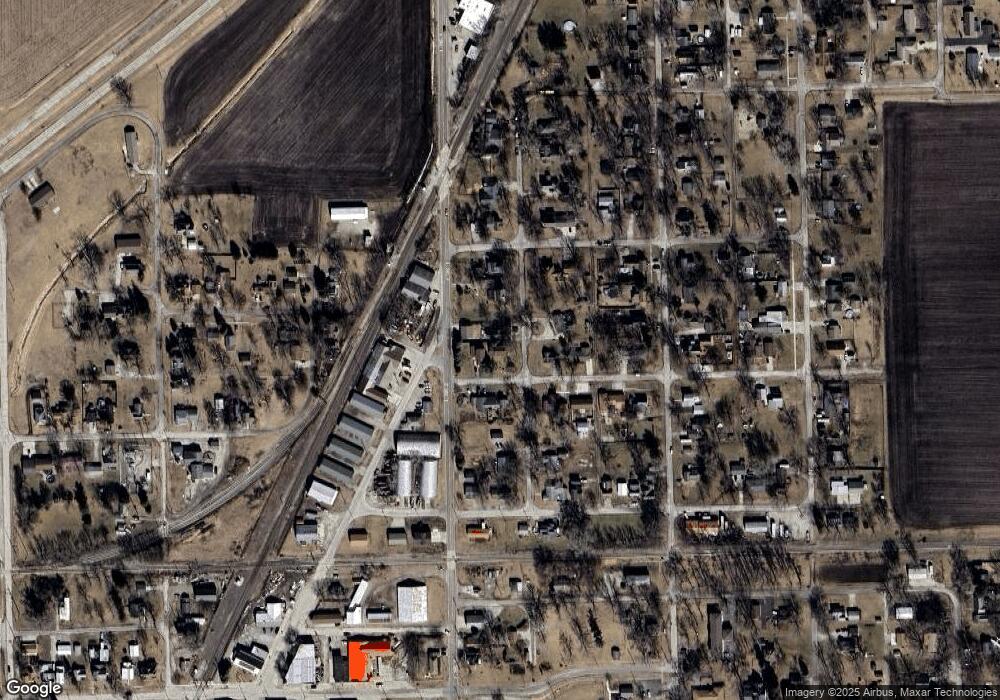
Map
Nearby Homes
- 503 N Commercial St
- 301 N 2nd Ave
- 401 N 2nd Ave
- 319 N Letcher St
- 732 E Cemetery Ave
- 721 E Cemetery Ave
- 602 N 4th Ave
- 725 Sheridan St
- 8-10 Lot St
- 11 Block
- 10788 N 1000 Rd E
- 9416 E 1400 North Rd
- 10642 E 1500 Rd N
- 208 N East St
- 104 W North St
- 101 S Oak St
- 105 Melissa Dr
- 14373 N 1700 Rd E
- 10690 E 1700 Rd N
- 10735 E 1700 Rd N