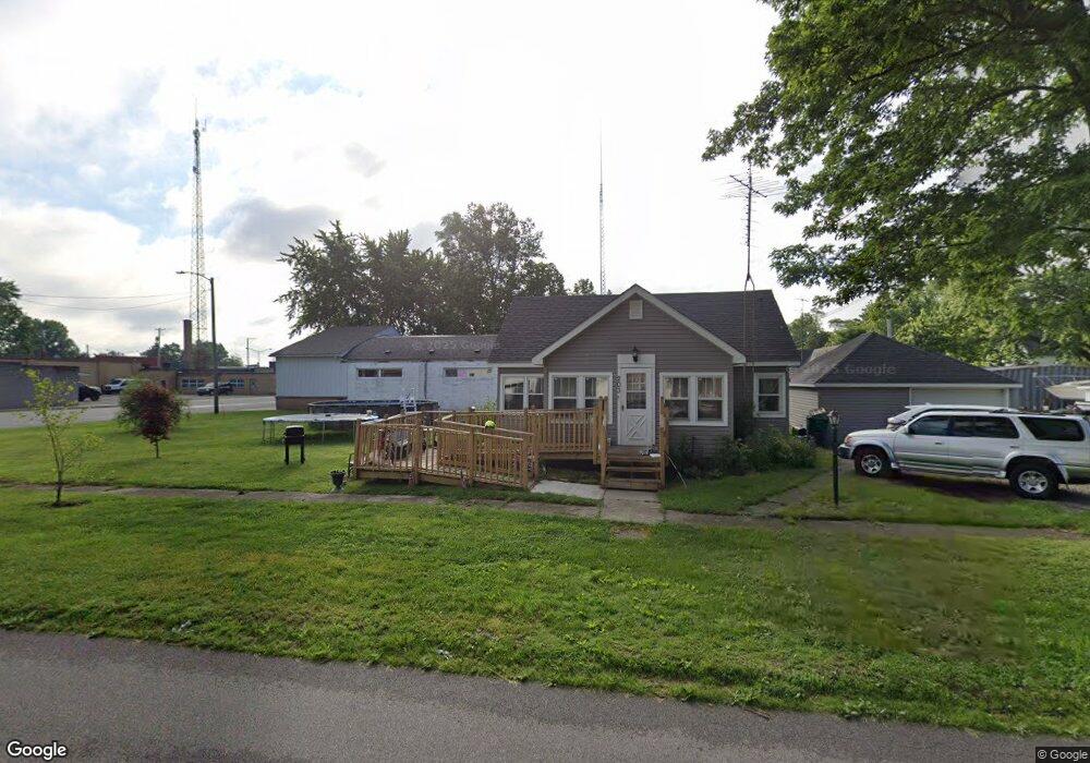
203 N Illinois St Wanatah, IN 46390
Estimated Value: $177,802 - $266,000
3
Beds
1
Bath
1,830
Sq Ft
$116/Sq Ft
Est. Value
About This Home
This home is located at 203 N Illinois St, Wanatah, IN 46390 and is currently estimated at $211,951, approximately $115 per square foot. 203 N Illinois St is a home located in LaPorte County.
Ownership History
Date
Name
Owned For
Owner Type
Purchase Details
Closed on
May 13, 2021
Sold by
Mosier Lynn M
Bought by
Ruiz Angela M
Current Estimated Value
Purchase Details
Closed on
Jul 9, 2019
Sold by
Fike Diana M and Fike Steven L
Bought by
Ruiz Angela M and Mosier Lynn M
Home Financials for this Owner
Home Financials are based on the most recent Mortgage that was taken out on this home.
Original Mortgage
$100,152
Interest Rate
4.12%
Mortgage Type
FHA
Purchase Details
Closed on
Mar 3, 2014
Sold by
Spiess John M and Fike Diane M
Bought by
Fike Diana M and Fike Steven L
Purchase Details
Closed on
Jan 29, 2010
Sold by
Spiess John L
Bought by
Spiess John L and John L Spiess Revocable Trust
Create a Home Valuation Report for This Property
The Home Valuation Report is an in-depth analysis detailing your home's value as well as a comparison with similar homes in the area
Home Values in the Area
Average Home Value in this Area
Purchase History
| Date | Buyer | Sale Price | Title Company |
|---|---|---|---|
| Ruiz Angela M | -- | None Available | |
| Ruiz Angela M | -- | Liberty Title & Escrow | |
| Fike Diana M | -- | None Available | |
| Spiess John L | -- | None Available |
Source: Public Records
Mortgage History
| Date | Status | Borrower | Loan Amount |
|---|---|---|---|
| Previous Owner | Ruiz Angela M | $100,152 |
Source: Public Records
Tax History Compared to Growth
Tax History
| Year | Tax Paid | Tax Assessment Tax Assessment Total Assessment is a certain percentage of the fair market value that is determined by local assessors to be the total taxable value of land and additions on the property. | Land | Improvement |
|---|---|---|---|---|
| 2024 | $586 | $112,300 | $19,800 | $92,500 |
| 2023 | $507 | $103,200 | $16,500 | $86,700 |
| 2022 | $504 | $100,900 | $16,500 | $84,400 |
| 2021 | $426 | $95,100 | $13,200 | $81,900 |
| 2020 | $402 | $95,100 | $13,200 | $81,900 |
| 2019 | $514 | $95,100 | $13,200 | $81,900 |
| 2018 | $1,182 | $56,700 | $8,500 | $48,200 |
| 2017 | $678 | $31,500 | $4,800 | $26,700 |
| 2016 | $2,028 | $99,000 | $15,200 | $83,800 |
| 2014 | $1,808 | $90,400 | $15,200 | $75,200 |
Source: Public Records
Map
Nearby Homes
- 104 W Cross St
- 207 N Washington St
- 116 Sprunger Dr
- 9237 W 1100 S
- 421 Amy Rose Ln
- 87 Kaper Ln
- 213 N 450 E
- 372 Radcliff Dr
- 13956 S 550 W
- 456 E 400 S
- 0 Porters Vale Blvd Unit GNR544918
- 0 St Road 2 Unit GNR544911
- 168 Jamestown Ave
- 323 E 124 S
- 0 Parcel A 325 E
- 0 Parcel B 325 E
- 355 E 300 S
- 435 E State Road 2
- 11 W West St
- 114 E Jersey St
- 203 S Illinois St
- 205 N Illinois St
- 207 N Illinois St
- 204 S Illinois St
- 109 S Illinois St
- 206 S Main St
- 204 S Main St
- 208 S Main St
- 110 S Illinois St
- 110 S Illinois St
- 208 S Illinois St
- 210 S Main St
- 108 S Illinois St
- 205 S Main St
- 203 S Main St
- 115 S Main St
- 102 E 2nd St
- 106 S Illinois St
- 113 S Main St
- 106 S Main St